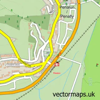
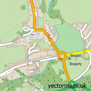
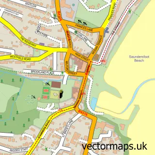
This Tenby street map is a detailed vector street map covering a 750m x 750m area. Select a larger area to create and download your own vector street map of Tenby.
The 750-metre map sample for Tenby covers 299 mapped buildings and approximately 20.7 km of road detail, of which 52 named roads are named. The immediate area includes 1 school, 1 railway station, 12 pubs and 3 MOT stations, with 4 within 2 miles. The wider area around Tenby features 7 tourism points of interest, 35 food and drink venues and 25 hotels. To create a larger or custom map of Tenby, the map builder lets you define your own coverage area and download editable SVG, PDF and PNG files.
Create a larger editable map of Tenby
Choose any area you need and generate a high-quality vector map instantly. Perfect for print, planning, design, business and personal use.

This Tenby street map in Dyfed is available as downloadable SVG, PDF and PNG map files, or as a printed map for planning, business, display, education, local information and design work. You can also create a larger custom map area using the map selector.
What this Tenby map sample shows
Tenby lies within Tenby Community parish, part of Tenby: South ward in the Sir Benfro - Pembrokeshire local authority area. The postcode geography for this area includes the SA postcode area, the SA70 postcode district and the SA70 8 postcode sector. Residents fall under the Hywel Dda University Health Board for NHS services.
Local features near Tenby
Within 2 milesAmenities and services in and around Tenby.
Administrative and postcode information for Tenby
Tenby lies within Tenby Community parish, part of Tenby: South ward in the Sir Benfro - Pembrokeshire local authority area. The postcode geography for this area includes the SA postcode area, the SA70 postcode district and the SA70 8 postcode sector. Residents fall under the Hywel Dda University Health Board for NHS services.
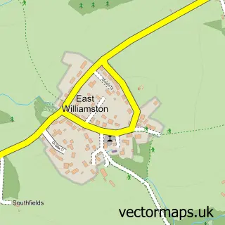
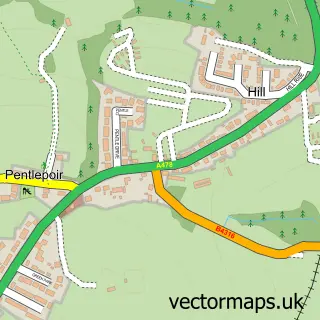
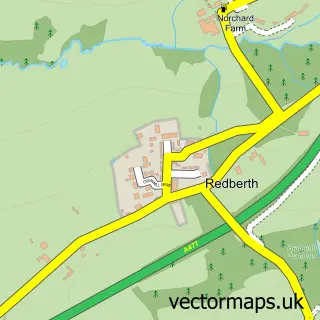
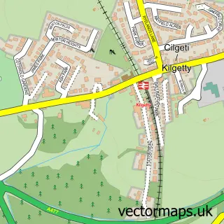
Nearby street map samples around Tenby

More street maps in Dyfed
750 metre map area coverage
Boundary, postcode and point of interest information for the 750m x 750m rectangle centred on this sample map.
Boundaries containing map centre
Constituency: Mid and South Pembrokeshire Co Const
District: Sir Benfro - Pembrokeshire
Icb: Hywel Dda
Parish: Tenby Community
Police Force: dyfed-powys
Postcode District: SA70
Postcode Sector: SA70 7
Nearby boundaries intersecting sample
Postcode Sector: SA70 8
Postcode coverage
POI category counts
Hotel: 25
Bed And Breakfast: 23
Holiday Rental Home: 16
Flowers And Gifts Shop: 12
Cafe: 11
Pub: 11
Restaurant: 10
Clothing Store: 7
Taxi Service: 7
Beauty Salon: 6
Sample points of interest
- Maesgwyn
- Ashmole & Co.
- Williams Lester Accountants
- Pembrokeshire stand up paddle boarding
- Tenby Ambulance Station
- Tenby Hog Roast Co.
- The American Diner
- St Mary's Church
- Antiques at The Green
- British Red Cross
- Guy Manning's Art Room
- High Seas Gallery
Create a larger editable map of Tenby
This sample shows only a 750 metre area. To create a larger map of Tenby, use our map builder to choose your own coverage area, add titles and download editable SVG, PDF and PNG files.
Create a custom map of Tenby