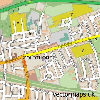
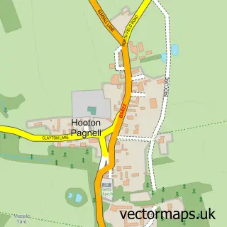
This Thurnscoe street map is a detailed vector street map covering a 750m x 750m area. Select a larger area to create and download your own vector street map of Thurnscoe.
The 750-metre map sample for Thurnscoe covers 475 mapped buildings and approximately 18.6 km of road detail, of which 45 named roads are named. The immediate area includes 1 railway station, 1 GP surgery, with 4 within 2 miles, 1 pub and 2 MOT stations, with 4 within 2 miles. The wider area around Thurnscoe features 3 tourism points of interest and 5 food and drink venues. To create a larger or custom map of Thurnscoe, the map builder lets you define your own coverage area and download editable SVG, PDF and PNG files.
Create a larger editable map of Thurnscoe
Choose any area you need and generate a high-quality vector map instantly. Perfect for print, planning, design, business and personal use.

This Thurnscoe street map in South Yorkshire is available as downloadable SVG, PDF and PNG map files, or as a printed map for planning, business, display, education, local information and design work. You can also create a larger custom map area using the map selector.
What this Thurnscoe map sample shows
Thurnscoe lies within Barnsley District (B) parish, part of Dearne North ward in the Barnsley District (B) local authority area. The postcode geography for this area includes the S postcode area, the S63 postcode district and the S63 0 postcode sector. Residents fall under the Nhs South Yorkshire Integrated Care Board for NHS services.
Local features near Thurnscoe
Within 2 milesAmenities and services in and around Thurnscoe.
Administrative and postcode information for Thurnscoe
The local authority covering Thurnscoe is Barnsley District (B), within the county of South Yorkshire. The settlement lies within Dearne North ward and Barnsley District (B) civil parish. The S63 postcode district and S63 0 postcode sector serve the immediate area. NHS provision in the area is delivered through Barnsley Hospital Nhs Foundation Trust.
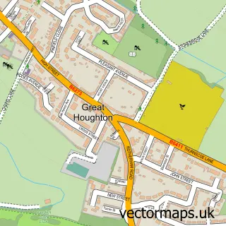
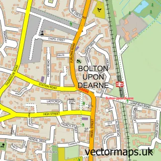
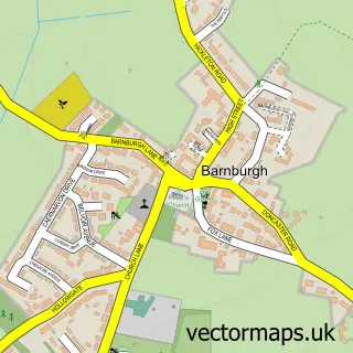
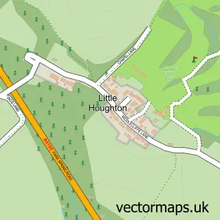
Nearby street map samples around Thurnscoe

More street maps in South Yorkshire
750 metre map area coverage
Boundary, postcode and point of interest information for the 750m x 750m rectangle centred on this sample map.
Boundaries containing map centre
Constituency: Barnsley South Co Const
District: Barnsley District (B)
Icb: NHS South Yorkshire ICB
Police Force: south yorkshire
Postcode District: S63
Postcode Sector: S63 0
Ward: Dearne North Ward
Nearby boundaries intersecting sample
No additional intersecting boundaries found.
Postcode coverage
POI category counts
Beauty Salon: 3
Convenience Store: 3
Dance School: 3
Tattoo And Piercing: 3
Automotive Repair: 2
Books Mags Music And Video: 2
Cafe: 2
Chinese Restaurant: 2
Coffee Shop: 2
Doctor: 2
Sample points of interest
- NCS Trailers
- Payzone
- Water By Nature Rafting
- LJ Plates
- Bullseye Motorist Centre
- Raynors Autos
- HSBC Bank
- Glamour salon
- Glitter & Stones Beauty
- The Beauty Station
- Post Office-Thurnscoe East
- Thurnscoe East Post Office
Create a larger editable map of Thurnscoe
This sample shows only a 750 metre area. To create a larger map of Thurnscoe, use our map builder to choose your own coverage area, add titles and download editable SVG, PDF and PNG files.
Create a custom map of Thurnscoe