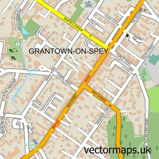
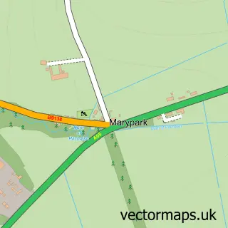
This Tomintoul street map is a detailed vector street map covering a 750m x 750m area. Select a larger area to create and download your own vector street map of Tomintoul.
The 750-metre map sample for Tomintoul covers 174 mapped buildings and approximately 11.2 km of road detail, of which 17 named roads are named. The wider area around Tomintoul features 2 tourism points of interest and 5 hotels. To create a larger or custom map of Tomintoul, the map builder lets you define your own coverage area and download editable SVG, PDF and PNG files.
Create a larger editable map of Tomintoul
Choose any area you need and generate a high-quality vector map instantly. Perfect for print, planning, design, business and personal use.

This Tomintoul street map in Banffshire is available as downloadable SVG, PDF and PNG map files, or as a printed map for planning, business, display, education, local information and design work. You can also create a larger custom map area using the map selector.
What this Tomintoul map sample shows
Tomintoul lies within Moray parish, part of Speyside Glenlivet ward in the Moray local authority area. The postcode geography for this area includes the AB postcode area, the AB37 postcode district and the AB37 9 postcode sector. Residents fall under the Grampian for NHS services.
Local features near Tomintoul
Within 2 milesAmenities and services in and around Tomintoul.
Administrative and postcode information for Tomintoul
The local authority covering Tomintoul is Moray, within the county of Banffshire. The settlement lies within Speyside Glenlivet ward and Moray civil parish. The AB37 postcode district and AB37 9 postcode sector serve the immediate area. NHS provision in the area is delivered through Grampian.
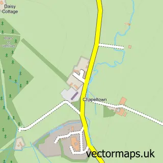
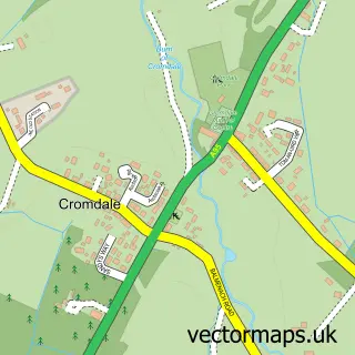
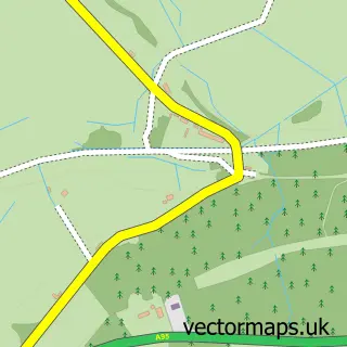
Nearby street map samples around Tomintoul


More street maps in Banffshire
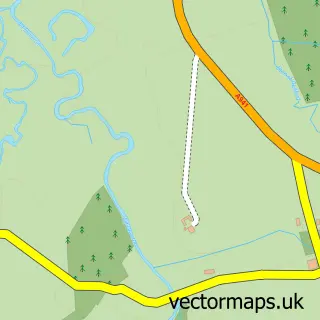
750 metre map area coverage
Boundary, postcode and point of interest information for the 750m x 750m rectangle centred on this sample map.
Boundaries containing map centre
Constituency: Moray West, Nairn and Strathspey Co Const
District: Moray
Icb: Grampian
Postcode District: AB37
Postcode Sector: AB37 9
Ward: Speyside Glenlivet Ward
Nearby boundaries intersecting sample
No additional intersecting boundaries found.
Postcode coverage
POI category counts
Hotel: 5
Bed And Breakfast: 3
Liquor Store: 3
Fire Department: 2
Flowers And Gifts Shop: 2
Holiday Rental Home: 2
Hostel: 2
Korean Grocery Store: 2
Travel Services: 2
Art Gallery: 1
Sample points of interest
- Tomintoul Gallery
- Off the Wall
- Smith Property & Maintenance Services
- Argyle Guest House
- Gordon House
- Livet House
- Linn of Avon Holiday Cottages
- Tomintoul, Glenlivet & Inveravon
- Ailnack Cottage Tomintoul
- Rinnes Medical Group (Tomintoul Medical Centre)
- Tomintoul Primary School
- SeaO2 Ltd
Create a larger editable map of Tomintoul
This sample shows only a 750 metre area. To create a larger map of Tomintoul, use our map builder to choose your own coverage area, add titles and download editable SVG, PDF and PNG files.
Create a custom map of Tomintoul