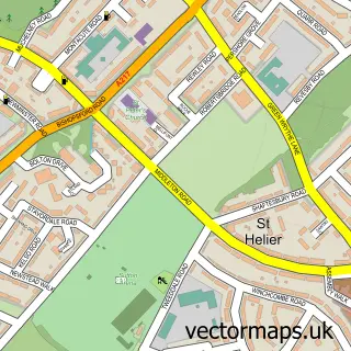
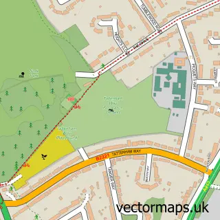
This Tooting street map is a detailed vector street map covering a 750m x 750m area. Select a larger area to create and download your own vector street map of Tooting.
The 750-metre map sample for Tooting covers 242 mapped buildings and approximately 26.4 km of road detail, of which 56 named roads are named. The immediate area includes 2 schools, 1 railway station, 1 GP surgery, with 34 within 2 miles and 12 pubs among other local services. The wider area around Tooting features 6 tourism points of interest, 54 food and drink venues and 3 hotels. To create a larger or custom map of Tooting, the map builder lets you define your own coverage area and download editable SVG, PDF and PNG files.
Create a larger editable map of Tooting
Choose any area you need and generate a high-quality vector map instantly. Perfect for print, planning, design, business and personal use.

This Tooting street map in Greater London is available as downloadable SVG, PDF and PNG map files, or as a printed map for planning, business, display, education, local information and design work. You can also create a larger custom map area using the map selector.
What this Tooting map sample shows
Tooting lies within Greater London Authority parish, part of Bedford ward in the Wandsworth London Boro local authority area. The postcode geography for this area includes the SW postcode area, the SW17 postcode district and the SW17 8 postcode sector. Residents fall under the Nhs South West London Integrated Care Board for NHS services.
Local features near Tooting
Within 2 milesAmenities and services in and around Tooting.
Administrative and postcode information for Tooting
Tooting lies within Greater London Authority parish, part of Bedford ward in the Wandsworth London Boro local authority area. The postcode geography for this area includes the SW postcode area, the SW17 postcode district and the SW17 8 postcode sector. Residents fall under the Nhs South West London Integrated Care Board for NHS services.
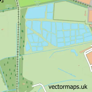
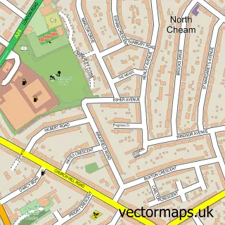
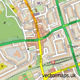
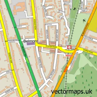
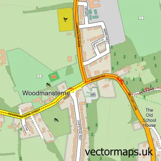
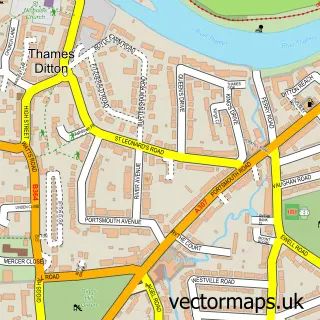
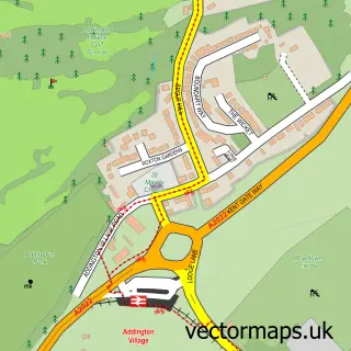
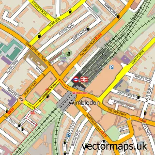
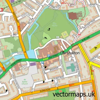
Nearby street map samples around Tooting

More street maps in Greater London
750 metre map area coverage
Boundary, postcode and point of interest information for the 750m x 750m rectangle centred on this sample map.
Boundaries containing map centre
Constituency: Tooting Boro Const
County: Greater London Authority
District: Wandsworth London Boro
Icb: NHS South West London ICB
Police Force: metropolitan
Postcode District: SW17
Postcode Sector: SW17 0
Ward: Tooting Broadway Ward
Nearby boundaries intersecting sample
Postcode Sector: SW17 7, SW17 8, SW17 9
Ward: Furzedown Ward, Tooting Bec Ward
Postcode coverage
POI category counts
Restaurant: 22
Travel Services: 19
Fast Food Restaurant: 14
Clothing Store: 13
Jewelry Store: 13
Beauty Salon: 12
Cafe: 12
Indian Restaurant: 12
Pub: 12
Travel Agents: 12
Sample points of interest
- Chandran & Co.
- Hepburn & Co
- KSM
- Nexes
- RK Taxation Services
- T G H Accounting Ltd
- Love2Sketch Life Drawing
- Turning Point Prospects
- My Assignment Services
- Dmedia
- Project Click
- Kabul Darbar Afghan Traditional Cuisine
Create a larger editable map of Tooting
This sample shows only a 750 metre area. To create a larger map of Tooting, use our map builder to choose your own coverage area, add titles and download editable SVG, PDF and PNG files.
Create a custom map of Tooting