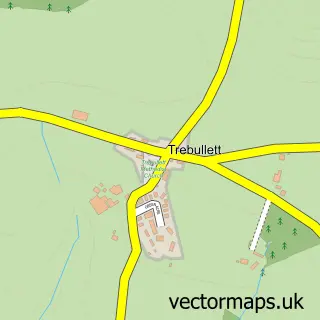
This Treburley street map is a detailed vector street map covering a 750m x 750m area. Select a larger area to create and download your own vector street map of Treburley.
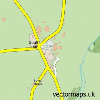
The 750-metre map sample for Treburley covers 151 mapped buildings and approximately 11.8 km of road detail, of which 4 named roads are named. The immediate area includes 2 pubs and 1 MOT station. The wider area around Treburley features 2 food and drink venues. To create a larger or custom map of Treburley, the map builder lets you define your own coverage area and download editable SVG, PDF and PNG files.
Create a larger editable map of Treburley
Choose any area you need and generate a high-quality vector map instantly. Perfect for print, planning, design, business and personal use.

This Treburley street map in Cornwall is available as downloadable SVG, PDF and PNG map files, or as a printed map for planning, business, display, education, local information and design work. You can also create a larger custom map area using the map selector.
What this Treburley map sample shows
Treburley lies within Lezant Cp parish, part of Stokeclimsland ward in the Cornwall local authority area. The postcode geography for this area includes the PL postcode area, the PL15 postcode district and the PL15 9 postcode sector. Residents fall under the Nhs Cornwall And The Isles Of Scilly Integrated Care Board for NHS services.
Local features near Treburley
Within 2 milesAmenities and services in and around Treburley.
Administrative and postcode information for Treburley
Treburley lies within Lezant Cp parish, part of Stokeclimsland ward in the Cornwall local authority area. The postcode geography for this area includes the PL postcode area, the PL15 postcode district and the PL15 9 postcode sector. Residents fall under the Nhs Cornwall And The Isles Of Scilly Integrated Care Board for NHS services.
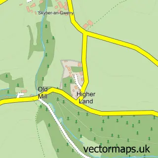
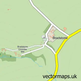
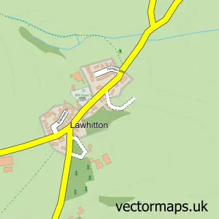
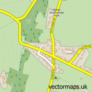
Nearby street map samples around Treburley

More street maps in Cornwall
750 metre map area coverage
Boundary, postcode and point of interest information for the 750m x 750m rectangle centred on this sample map.
Boundaries containing map centre
Constituency: North Cornwall Co Const
District: Cornwall
Icb: NHS Cornwall and the Isles of Scilly ICB
Parish: Lezant CP
Police Force: devon and cornwall
Postcode District: PL15
Postcode Sector: PL15 9
Nearby boundaries intersecting sample
No additional intersecting boundaries found.
Postcode coverage
POI category counts
Automotive Repair: 3
Pub: 2
Baby Gear And Furniture: 1
Building Supply Store: 1
Doctor: 1
Grocery Store: 1
Industrial Equipment: 1
Personal Care Service: 1
Physical Therapy: 1
Roofing: 1
Sample points of interest
- N Coombe BODY Repairs
- P & P Motor Repairs
- P and P Motor Engineers
- Konfidence
- Creative Storage
- The Physiotherapy & Acupuncture Clinic
- Jaspers Treburley
- Truro Tractors
- The Launceston Wedding Rolls Royce
- Treburley Physiotherapy and Acupuncture Clinic
- The Springer Spaniel
- The Springer Spaniel
Create a larger editable map of Treburley
This sample shows only a 750 metre area. To create a larger map of Treburley, use our map builder to choose your own coverage area, add titles and download editable SVG, PDF and PNG files.
Create a custom map of Treburley