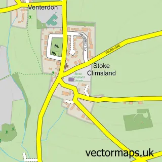
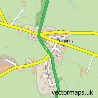
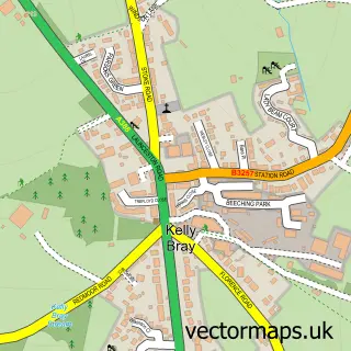
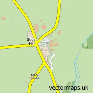
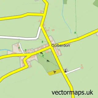
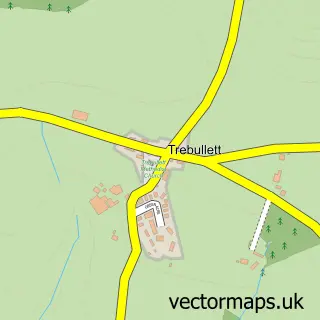
This Venterdon street map is a detailed vector street map covering a 750m x 750m area. Select a larger area to create and download your own vector street map of Venterdon.
The 750-metre map sample for Venterdon covers 121 mapped buildings and approximately 13.6 km of road detail, of which 6 named roads are named. The immediate area includes 1 school and 1 MOT station within 2 miles. The wider area around Venterdon features 1 tourism point of interest and 1 food and drink venue. To create a larger or custom map of Venterdon, the map builder lets you define your own coverage area and download editable SVG, PDF and PNG files.
Create a larger editable map of Venterdon
Choose any area you need and generate a high-quality vector map instantly. Perfect for print, planning, design, business and personal use.

This Venterdon street map in Cornwall is available as downloadable SVG, PDF and PNG map files, or as a printed map for planning, business, display, education, local information and design work. You can also create a larger custom map area using the map selector.
What this Venterdon map sample shows
Venterdon lies within Stokeclimsland Cp parish, part of Stokeclimsland ward in the Cornwall local authority area. The postcode geography for this area includes the PL postcode area, the PL17 postcode district and the PL17 8 postcode sector. Residents fall under the Nhs Cornwall And The Isles Of Scilly Integrated Care Board for NHS services.
Local features near Venterdon
Within 2 milesAmenities and services in and around Venterdon.
Administrative and postcode information for Venterdon
Venterdon lies within Stokeclimsland Cp parish, part of Stokeclimsland ward in the Cornwall local authority area. The postcode geography for this area includes the PL postcode area, the PL17 postcode district and the PL17 8 postcode sector. Residents fall under the Nhs Cornwall And The Isles Of Scilly Integrated Care Board for NHS services.
Nearby street map samples around Venterdon

More street maps in Cornwall
750 metre map area coverage
Boundary, postcode and point of interest information for the 750m x 750m rectangle centred on this sample map.
Boundaries containing map centre
Constituency: North Cornwall Co Const
District: Cornwall
Icb: NHS Cornwall and the Isles of Scilly ICB
Parish: Stokeclimsland CP
Police Force: devon and cornwall
Postcode District: PL17
Postcode Sector: PL17 8
Nearby boundaries intersecting sample
No additional intersecting boundaries found.
Postcode coverage
POI category counts
College University: 3
Church Cathedral: 2
Personal Care Service: 2
Printing Services: 2
Scout Hall: 2
Acupuncture: 1
Automotive Repair: 1
Cafe: 1
Community Center: 1
Construction Services: 1
Sample points of interest
- Michael Clements Acupuncturist Callington
- Curtis Motor Services
- Sam's Café
- Stoke Climsland Church
- Stoke Climsland Parish Church
- Duchy College Land-Based Engineering and Workshops
- Duchy College Military & Protective Services Academy
- Duchy College Rural Training
- Stoke Climsland Community Project
- AFE Surfacing
- Stoke Climsland Post Office
- Ashley Events
Create a larger editable map of Venterdon
This sample shows only a 750 metre area. To create a larger map of Venterdon, use our map builder to choose your own coverage area, add titles and download editable SVG, PDF and PNG files.
Create a custom map of Venterdon