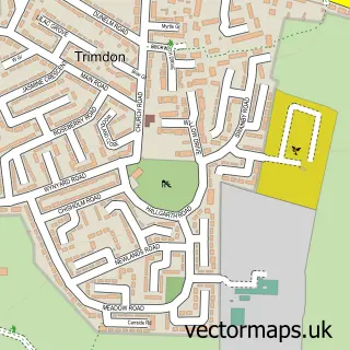
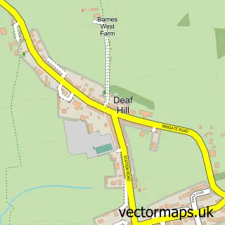
This Trimdon street map is a detailed vector street map covering a 750m x 750m area. Select a larger area to create and download your own vector street map of Trimdon.
The 750-metre map sample for Trimdon covers 427 mapped buildings and approximately 17.9 km of road detail, of which 23 named roads are named. The immediate area includes 1 pub and 3 MOT stations within 2 miles. The wider area around Trimdon features 1 tourism point of interest, 1 food and drink venue and 1 hotel. To create a larger or custom map of Trimdon, the map builder lets you define your own coverage area and download editable SVG, PDF and PNG files.
Create a larger editable map of Trimdon
Choose any area you need and generate a high-quality vector map instantly. Perfect for print, planning, design, business and personal use.

This Trimdon street map in Durham is available as downloadable SVG, PDF and PNG map files, or as a printed map for planning, business, display, education, local information and design work. You can also create a larger custom map area using the map selector.
What this Trimdon map sample shows
Trimdon lies within Trimdon Cp parish, part of Trimdon And Thornley ward in the County Durham local authority area. The postcode geography for this area includes the TS postcode area, the TS29 postcode district and the TS29 6 postcode sector. Residents fall under the Nhs North East And North Cumbria Integrated Care Board for NHS services.
Local features near Trimdon
Within 2 milesAmenities and services in and around Trimdon.
Administrative and postcode information for Trimdon
The local authority covering Trimdon is County Durham, within the county of Durham. The settlement lies within Trimdon And Thornley ward and Trimdon Cp civil parish. The TS29 postcode district and TS29 6 postcode sector serve the immediate area. NHS provision in the area is delivered through North Tees And Hartlepool Nhs Foundation Trust.
Nearby street map samples around Trimdon
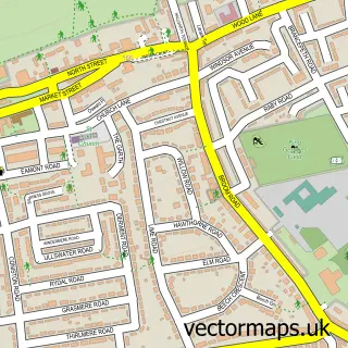

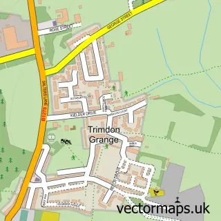
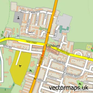

More street maps in Durham
750 metre map area coverage
Boundary, postcode and point of interest information for the 750m x 750m rectangle centred on this sample map.
Boundaries containing map centre
Constituency: Newton Aycliffe and Spennymoor Co Const
District: County Durham
Icb: NHS North East and North Cumbria ICB
Parish: Trimdon CP
Police Force: durham
Postcode District: TS29
Postcode Sector: TS29 6
Nearby boundaries intersecting sample
No additional intersecting boundaries found.
Postcode coverage
POI category counts
Contractor: 2
Fish And Chips Restaurant: 2
Library: 2
Atms: 1
Attractions And Activities: 1
Auto Electrical Repair: 1
Bakery: 1
Building Supply Store: 1
Business Consulting: 1
Chinese Restaurant: 1
Sample points of interest
- The Cooperative Food (BF) Trimdon - Church Street
- Trimdon Community Garden Allotment
- Tr Security Ltd.
- Peters Bakery Trimdon Station Trimdon
- ATC Plastics
- Alan Bell & Partners
- 88 Takeaway
- St Mary Magdalene's Church
- East Durham Solutions
- Drainage & Groundwork Services Limited
- Stephen Redfern
- Premier Trimdon Convenience Store
Create a larger editable map of Trimdon
This sample shows only a 750 metre area. To create a larger map of Trimdon, use our map builder to choose your own coverage area, add titles and download editable SVG, PDF and PNG files.
Create a custom map of Trimdon