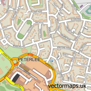
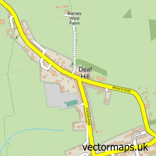
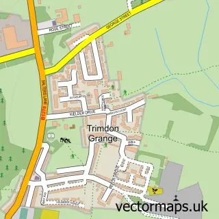
This Wingate street map is a detailed vector street map covering a 750m x 750m area. Select a larger area to create and download your own vector street map of Wingate.
The 750-metre map sample for Wingate covers 354 mapped buildings and approximately 14.4 km of road detail, of which 14 named roads are named. The immediate area includes 2 schools, 2 GP surgeries within 2 miles, 1 pub and 5 MOT stations within 2 miles. The wider area around Wingate features 1 tourism point of interest and 2 food and drink venues. To create a larger or custom map of Wingate, the map builder lets you define your own coverage area and download editable SVG, PDF and PNG files.
Create a larger editable map of Wingate
Choose any area you need and generate a high-quality vector map instantly. Perfect for print, planning, design, business and personal use.

This Wingate street map in Durham is available as downloadable SVG, PDF and PNG map files, or as a printed map for planning, business, display, education, local information and design work. You can also create a larger custom map area using the map selector.
What this Wingate map sample shows
Wingate lies within Wingate Cp parish, part of Wingate ward in the County Durham local authority area. The postcode geography for this area includes the TS postcode area, the TS28 postcode district and the TS28 5 postcode sector. Residents fall under the Nhs North East And North Cumbria Integrated Care Board for NHS services.
Local features near Wingate
Within 2 milesAmenities and services in and around Wingate.
Administrative and postcode information for Wingate
The local authority covering Wingate is County Durham, within the county of Durham. The settlement lies within Wingate ward and Wingate Cp civil parish. The TS28 postcode district and TS28 5 postcode sector serve the immediate area. NHS provision in the area is delivered through North Tees And Hartlepool Nhs Foundation Trust.
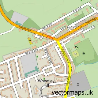
Nearby street map samples around Wingate


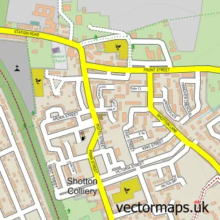
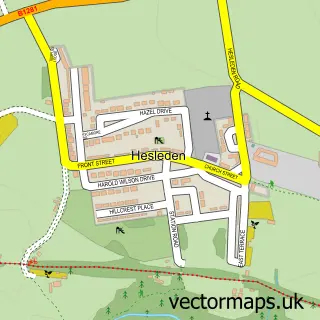
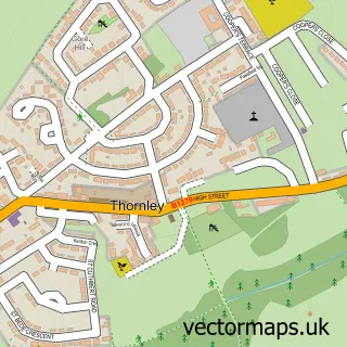
More street maps in Durham
750 metre map area coverage
Boundary, postcode and point of interest information for the 750m x 750m rectangle centred on this sample map.
Boundaries containing map centre
Constituency: Easington Co Const
District: County Durham
Icb: NHS North East and North Cumbria ICB
Parish: Wingate CP
Police Force: durham
Postcode District: TS28
Postcode Sector: TS28 5
Nearby boundaries intersecting sample
No additional intersecting boundaries found.
Postcode coverage
POI category counts
Anglican Church: 2
Beauty Salon: 2
Convenience Store: 2
Fish And Chips Restaurant: 2
Hair Salon: 2
Laundromat: 2
Shipping Center: 2
Tree Services: 2
Accountant: 1
Automotive Dealer: 1
Sample points of interest
- Versatax Accountancy
- Holy Trinity Church
- Holy Trinity Church, Wingate
- Stratford Motors
- Ldj motors mobile mechanics
- A1 turkish barber Wheatley Hill durham
- Madina zoe
- Chix
- Seraph Hair and Beauty
- C&D Roofing & Joinery
- Regency Pizza
- North Car Wash
Create a larger editable map of Wingate
This sample shows only a 750 metre area. To create a larger map of Wingate, use our map builder to choose your own coverage area, add titles and download editable SVG, PDF and PNG files.
Create a custom map of Wingate