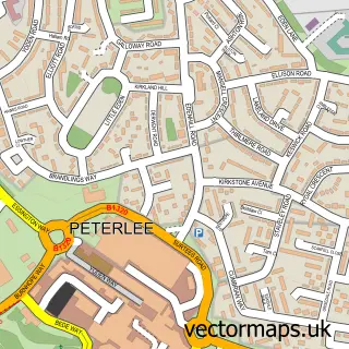
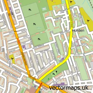
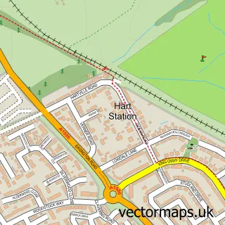
This Hesleden street map is a detailed vector street map covering a 750m x 750m area. Select a larger area to create and download your own vector street map of Hesleden.
The 750-metre map sample for Hesleden covers 144 mapped buildings and approximately 11.4 km of road detail, of which 10 named roads are named. The immediate area includes 1 school, 3 GP surgeries within 2 miles, 1 pub and 4 MOT stations within 2 miles. The wider area around Hesleden features 1 food and drink venue. To create a larger or custom map of Hesleden, the map builder lets you define your own coverage area and download editable SVG, PDF and PNG files.
Create a larger editable map of Hesleden
Choose any area you need and generate a high-quality vector map instantly. Perfect for print, planning, design, business and personal use.

This Hesleden street map in Durham is available as downloadable SVG, PDF and PNG map files, or as a printed map for planning, business, display, education, local information and design work. You can also create a larger custom map area using the map selector.
What this Hesleden map sample shows
Hesleden lies within Monk Hesleden Cp parish, part of Blackhalls ward in the County Durham local authority area. The postcode geography for this area includes the TS postcode area, the TS27 postcode district and the TS27 4 postcode sector. Residents fall under the Nhs North East And North Cumbria Integrated Care Board for NHS services.
Local features near Hesleden
Within 2 milesAmenities and services in and around Hesleden.
Administrative and postcode information for Hesleden
The local authority covering Hesleden is County Durham, within the county of Durham. The settlement lies within Blackhalls ward and Monk Hesleden Cp civil parish. The TS27 postcode district and TS27 4 postcode sector serve the immediate area. NHS provision in the area is delivered through North Tees And Hartlepool Nhs Foundation Trust.
Nearby street map samples around Hesleden

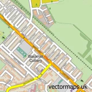
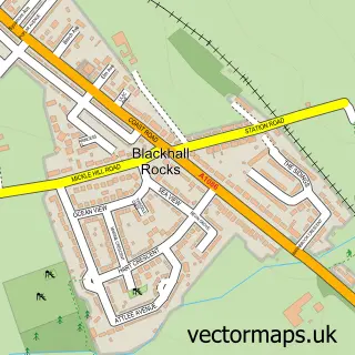
More street maps in Durham
750 metre map area coverage
Boundary, postcode and point of interest information for the 750m x 750m rectangle centred on this sample map.
Boundaries containing map centre
Constituency: Easington Co Const
District: County Durham
Icb: NHS North East and North Cumbria ICB
Parish: Monk Hesleden CP
Police Force: durham
Postcode District: TS27
Postcode Sector: TS27 4
Nearby boundaries intersecting sample
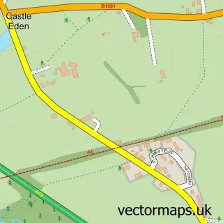
Parish: Castle Eden CP, Sheraton with Hulam CP
Postcode coverage
POI category counts
Convenience Store: 2
Bakery: 1
Community Services Non Profits: 1
Computer Store: 1
Elementary School: 1
Hair Salon: 1
Plumbing: 1
Pub: 1
Sample points of interest
- STAR Bakes
- STARS Community Learning
- PC Doctor
- Hesleden Village Shop & Post Office.
- Post Office
- Hesleden Primary School
- Curly Beast
- Remlap Heating
- Hesleden Working Mens-Club
Create a larger editable map of Hesleden
This sample shows only a 750 metre area. To create a larger map of Hesleden, use our map builder to choose your own coverage area, add titles and download editable SVG, PDF and PNG files.
Create a custom map of Hesleden