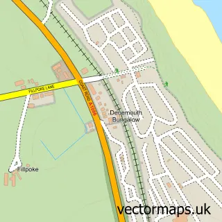
This Blackhall Rocks street map is a detailed vector street map covering a 750m x 750m area. Select a larger area to create and download your own vector street map of Blackhall Rocks.
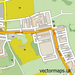
The 750-metre map sample for Blackhall Rocks covers 348 mapped buildings and approximately 13.5 km of road detail, of which 20 named roads are named. The immediate area includes 1 GP surgery within 2 miles and 1 MOT station, with 2 within 2 miles. The wider area around Blackhall Rocks features 1 food and drink venue. To create a larger or custom map of Blackhall Rocks, the map builder lets you define your own coverage area and download editable SVG, PDF and PNG files.
Create a larger editable map of Blackhall Rocks
Choose any area you need and generate a high-quality vector map instantly. Perfect for print, planning, design, business and personal use.

This Blackhall Rocks street map in Durham is available as downloadable SVG, PDF and PNG map files, or as a printed map for planning, business, display, education, local information and design work. You can also create a larger custom map area using the map selector.
What this Blackhall Rocks map sample shows
Blackhall Rocks lies within Monk Hesleden Cp parish, part of Blackhalls ward in the County Durham local authority area. The postcode geography for this area includes the TS postcode area, the TS27 postcode district and the TS27 4 postcode sector. Residents fall under the Nhs North East And North Cumbria Integrated Care Board for NHS services.
Local features near Blackhall Rocks
Within 2 milesAmenities and services in and around Blackhall Rocks.
Administrative and postcode information for Blackhall Rocks
Blackhall Rocks lies within Monk Hesleden Cp parish, part of Blackhalls ward in the County Durham local authority area. The postcode geography for this area includes the TS postcode area, the TS27 postcode district and the TS27 4 postcode sector. Residents fall under the Nhs North East And North Cumbria Integrated Care Board for NHS services.
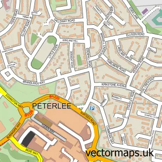
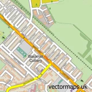
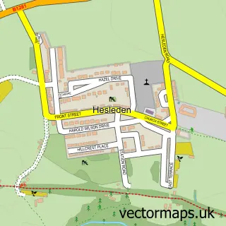
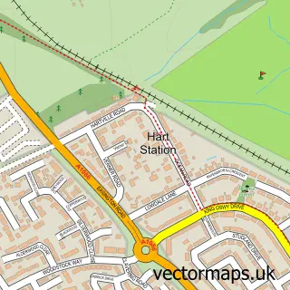
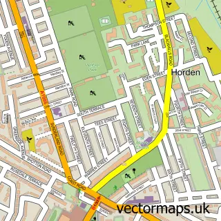
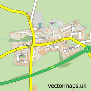
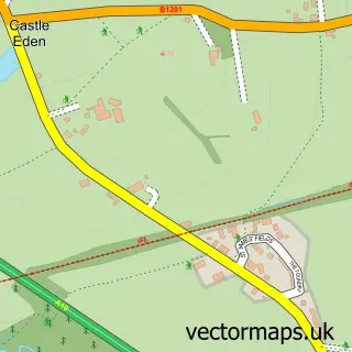
Nearby street map samples around Blackhall Rocks

More street maps in Durham
750 metre map area coverage
Boundary, postcode and point of interest information for the 750m x 750m rectangle centred on this sample map.
Boundaries containing map centre
Constituency: Easington Co Const
District: County Durham
Icb: NHS North East and North Cumbria ICB
Parish: Monk Hesleden CP
Police Force: durham
Postcode District: TS27
Postcode Sector: TS27 4
Nearby boundaries intersecting sample
No additional intersecting boundaries found.
Postcode coverage
POI category counts
Automotive Repair: 2
Convenience Store: 2
Arts And Crafts: 1
Atms: 1
Baby Gear And Furniture: 1
Barber: 1
Cafe: 1
Church Cathedral: 1
Construction Services: 1
Engineering Schools: 1
Sample points of interest
- Just Kraftin Around
- PayPoint
- Phoenix Service Station
- Phoenix Service Station
- Rock'a'bye Baby
- Roxy's Barber & Tattoo Studio
- Jjs Corner Cafe
- St Josephs Catholic Church
- Crown Plastering and Damp Proofing Services
- Micklehill Stores
- Morrisons Daily
- Northpour
Create a larger editable map of Blackhall Rocks
This sample shows only a 750 metre area. To create a larger map of Blackhall Rocks, use our map builder to choose your own coverage area, add titles and download editable SVG, PDF and PNG files.
Create a custom map of Blackhall Rocks