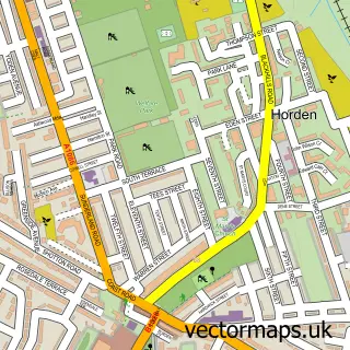
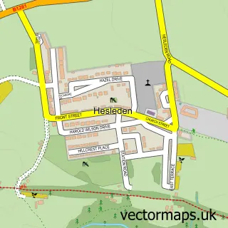
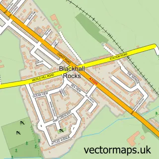
This Peterlee street map is a detailed vector street map covering a 750m x 750m area. Select a larger area to create and download your own vector street map of Peterlee.
The 750-metre map sample for Peterlee covers 475 mapped buildings and approximately 22.4 km of road detail, of which 45 named roads are named. The immediate area includes 3 GP surgeries within 2 miles, 2 pubs and 1 MOT station, with 10 within 2 miles. The wider area around Peterlee features 2 tourism points of interest, 13 food and drink venues and 1 hotel. To create a larger or custom map of Peterlee, the map builder lets you define your own coverage area and download editable SVG, PDF and PNG files.
Create a larger editable map of Peterlee
Choose any area you need and generate a high-quality vector map instantly. Perfect for print, planning, design, business and personal use.

This Peterlee street map in Durham is available as downloadable SVG, PDF and PNG map files, or as a printed map for planning, business, display, education, local information and design work. You can also create a larger custom map area using the map selector.
What this Peterlee map sample shows
Peterlee lies within Horden Cp parish, part of Horden ward in the County Durham local authority area. The postcode geography for this area includes the SR postcode area, the SR8 postcode district and the SR8 4 postcode sector. Residents fall under the Nhs North East And North Cumbria Integrated Care Board for NHS services.
Local features near Peterlee
Within 2 milesAmenities and services in and around Peterlee.
Administrative and postcode information for Peterlee
Peterlee lies within Horden Cp parish, part of Horden ward in the County Durham local authority area. The postcode geography for this area includes the SR postcode area, the SR8 postcode district and the SR8 4 postcode sector. Residents fall under the Nhs North East And North Cumbria Integrated Care Board for NHS services.
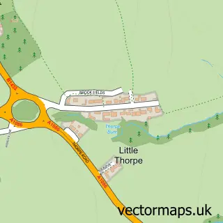
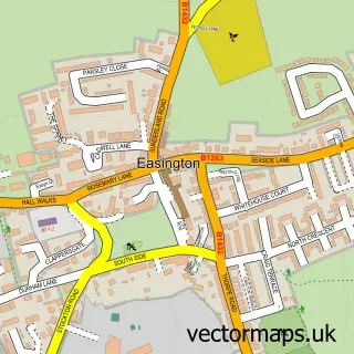
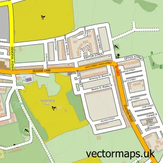
Nearby street map samples around Peterlee

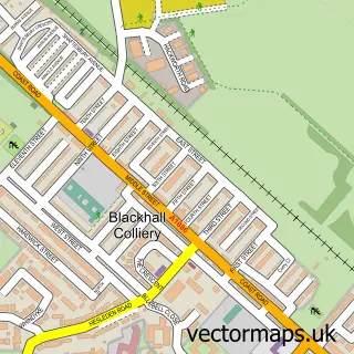
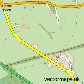
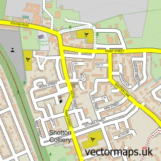
More street maps in Durham
750 metre map area coverage
Boundary, postcode and point of interest information for the 750m x 750m rectangle centred on this sample map.
Boundaries containing map centre
Constituency: Easington Co Const
District: County Durham
Icb: NHS North East and North Cumbria ICB
Parish: Peterlee CP
Police Force: durham
Postcode District: SR8
Postcode Sector: SR8 5
Nearby boundaries intersecting sample
Postcode Sector: SR8 1, SR8 2
Postcode coverage
POI category counts
Banks: 8
Professional Services: 7
Discount Store: 6
Coffee Shop: 5
Supermarket: 5
Atms: 4
Beauty Salon: 4
Dentist: 4
Fast Food Restaurant: 4
Real Estate Agent: 4
Sample points of interest
- At home
- Bailey Group Chartered Accountants
- Broughton Tiaras
- Growth Equestrian - Riding School & Equine Assisted Therapy Centre
- Homecare
- ATM (Post Office)
- Asda Peterlee Pfs
- Cash machine 15 The Chare
- Cashpoint® 31 Yoden Way
- UK Energy Support
- Greggs
- It's All About The Cake
Create a larger editable map of Peterlee
This sample shows only a 750 metre area. To create a larger map of Peterlee, use our map builder to choose your own coverage area, add titles and download editable SVG, PDF and PNG files.
Create a custom map of Peterlee