This Castle Eden street map is a detailed vector street map covering a 750m x 750m area. Select a larger area to create and download your own vector street map of Castle Eden.
The 750-metre map sample for Castle Eden covers 60 mapped buildings and approximately 8.9 km of road detail, of which 2 named roads are named. The immediate area includes 3 GP surgeries within 2 miles, 1 pub and 4 MOT stations within 2 miles. The wider area around Castle Eden features 1 tourism point of interest and 1 food and drink venue. To create a larger or custom map of Castle Eden, the map builder lets you define your own coverage area and download editable SVG, PDF and PNG files.
Create a larger editable map of Castle Eden
Choose any area you need and generate a high-quality vector map instantly. Perfect for print, planning, design, business and personal use.

This Castle Eden street map in Durham is available as downloadable SVG, PDF and PNG map files, or as a printed map for planning, business, display, education, local information and design work. You can also create a larger custom map area using the map selector.
What this Castle Eden map sample shows
Castle Eden lies within Castle Eden Cp parish, part of Blackhalls ward in the County Durham local authority area. The postcode geography for this area includes the TS postcode area, the TS27 postcode district and the TS27 4 postcode sector. Residents fall under the Nhs North East And North Cumbria Integrated Care Board for NHS services.
Local features near Castle Eden
Within 2 milesAmenities and services in and around Castle Eden.
Administrative and postcode information for Castle Eden
The local authority covering Castle Eden is County Durham, within the county of Durham. The settlement lies within Blackhalls ward and Castle Eden Cp civil parish. The TS27 postcode district and TS27 4 postcode sector serve the immediate area. NHS provision in the area is delivered through North Tees And Hartlepool Nhs Foundation Trust.
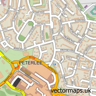
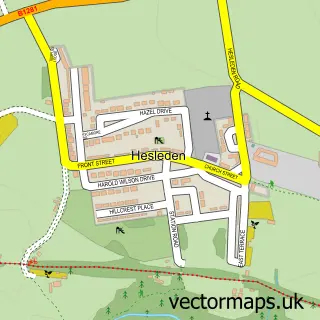
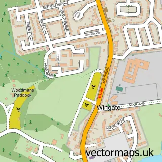
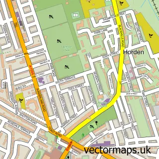
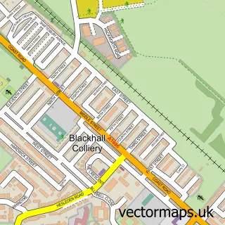
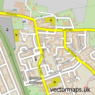
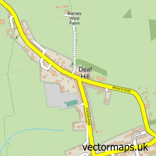
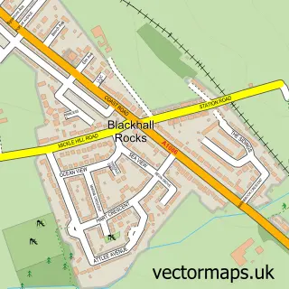
Nearby street map samples around Castle Eden


More street maps in Durham
750 metre map area coverage
Boundary, postcode and point of interest information for the 750m x 750m rectangle centred on this sample map.
Boundaries containing map centre
Constituency: Easington Co Const
District: County Durham
Icb: NHS North East and North Cumbria ICB
Parish: Castle Eden CP
Police Force: durham
Postcode District: TS27
Postcode Sector: TS27 4
Nearby boundaries intersecting sample
No additional intersecting boundaries found.
Postcode coverage
POI category counts
Food: 2
Elementary School: 1
Event Planning: 1
Financial Service: 1
Golf Course: 1
Graphic Designer: 1
Land Surveying: 1
Landmark And Historical Building: 1
Naturopathic Holistic: 1
Physical Therapy: 1
Sample points of interest
- Edenwell Equestrian Centre
- Castle Eden Village Hall
- Sentinel Wealth Management
- Castle Eden Inn
- Castle Eden Inn
- Castle Eden Golf Club
- Creator
- Gridmark Survey Limited
- Castle Eden Masonic Hall
- Here & Now Hypnosis
- East Durham Physiotherapy & Sports Injury Clinic
- The Castle Eden Inn
Create a larger editable map of Castle Eden
This sample shows only a 750 metre area. To create a larger map of Castle Eden, use our map builder to choose your own coverage area, add titles and download editable SVG, PDF and PNG files.
Create a custom map of Castle Eden