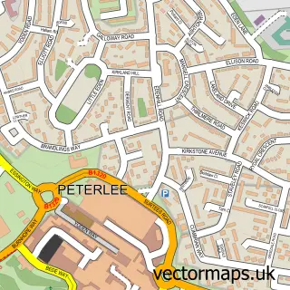
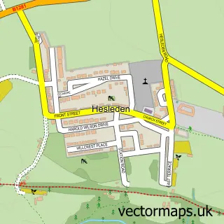
This Horden street map is a detailed vector street map covering a 750m x 750m area. Select a larger area to create and download your own vector street map of Horden.
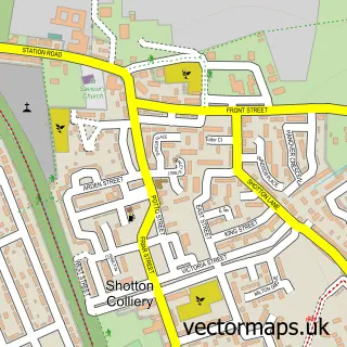
The 750-metre map sample for Horden covers 338 mapped buildings and approximately 27.2 km of road detail, of which 50 named roads are named. The immediate area includes 1 GP surgery, with 3 within 2 miles and 2 MOT stations, with 8 within 2 miles. The wider area around Horden features 4 tourism points of interest and 6 food and drink venues. To create a larger or custom map of Horden, the map builder lets you define your own coverage area and download editable SVG, PDF and PNG files.
Create a larger editable map of Horden
Choose any area you need and generate a high-quality vector map instantly. Perfect for print, planning, design, business and personal use.

This Horden street map in Durham is available as downloadable SVG, PDF and PNG map files, or as a printed map for planning, business, display, education, local information and design work. You can also create a larger custom map area using the map selector.
What this Horden map sample shows
Horden lies within Horden Cp parish, part of Horden ward in the County Durham local authority area. The postcode geography for this area includes the SR postcode area, the SR8 postcode district and the SR8 4 postcode sector. Residents fall under the Nhs North East And North Cumbria Integrated Care Board for NHS services.
Local features near Horden
Within 2 milesAmenities and services in and around Horden.
Administrative and postcode information for Horden
Horden lies within Horden Cp parish, part of Horden ward in the County Durham local authority area. The postcode geography for this area includes the SR postcode area, the SR8 postcode district and the SR8 4 postcode sector. Residents fall under the Nhs North East And North Cumbria Integrated Care Board for NHS services.
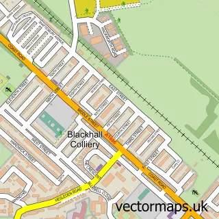
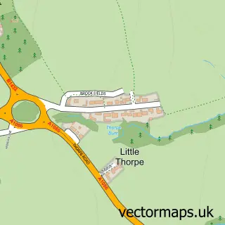
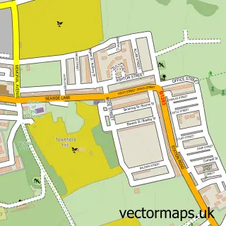
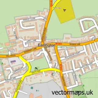
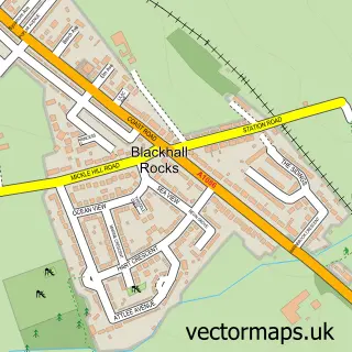
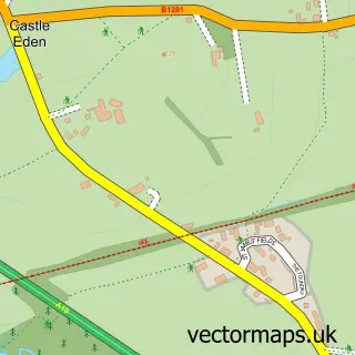
Nearby street map samples around Horden

More street maps in Durham
750 metre map area coverage
Boundary, postcode and point of interest information for the 750m x 750m rectangle centred on this sample map.
Boundaries containing map centre
Constituency: Easington Co Const
District: County Durham
Icb: NHS North East and North Cumbria ICB
Parish: Horden CP
Police Force: durham
Postcode District: SR8
Postcode Sector: SR8 4
Nearby boundaries intersecting sample
Parish: Peterlee CP
Postcode Sector: SR8 5
Postcode coverage
POI category counts
Beauty Salon: 9
Barber: 7
Convenience Store: 6
Automotive Repair: 5
Bakery: 4
Doctor: 4
Funeral Services And Cemeteries: 4
Professional Services: 4
Beauty And Spa: 3
Cafe: 3
Sample points of interest
- Acupuncture By Caroline Leaver
- Victoria Casselden Acupuncture
- St Mary's Horden
- John Hepworth Electrical
- Homecare, Door and DIY Centre
- Langley House Residential Care Home, Horden
- ATM (Post Office)
- PayPoint
- Rapid Military Vehicles Ltd.
- ATS Euromaster
- Coast Road Vehicle Repairs
- Pat Lavery
Create a larger editable map of Horden
This sample shows only a 750 metre area. To create a larger map of Horden, use our map builder to choose your own coverage area, add titles and download editable SVG, PDF and PNG files.
Create a custom map of Horden