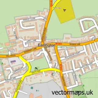
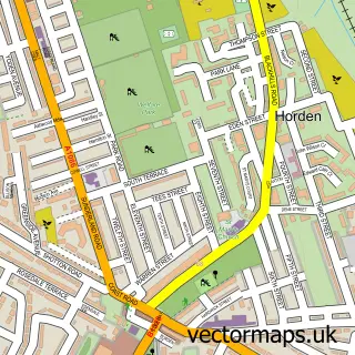
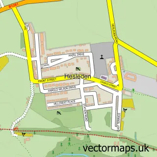
This Easington Colliery street map is a detailed vector street map covering a 750m x 750m area. Select a larger area to create and download your own vector street map of Easington Colliery.
The 750-metre map sample for Easington Colliery covers 97 mapped buildings and approximately 17.7 km of road detail, of which 29 named roads are named. The immediate area includes 1 GP surgery within 2 miles, 1 pub and 6 MOT stations within 2 miles. The wider area around Easington Colliery features 2 tourism points of interest and 7 food and drink venues. To create a larger or custom map of Easington Colliery, the map builder lets you define your own coverage area and download editable SVG, PDF and PNG files.
Create a larger editable map of Easington Colliery
Choose any area you need and generate a high-quality vector map instantly. Perfect for print, planning, design, business and personal use.

This Easington Colliery street map in Durham is available as downloadable SVG, PDF and PNG map files, or as a printed map for planning, business, display, education, local information and design work. You can also create a larger custom map area using the map selector.
What this Easington Colliery map sample shows
Easington Colliery lies within Easington Colliery Cp parish, part of Easington ward in the County Durham local authority area. The postcode geography for this area includes the SR postcode area, the SR8 postcode district and the SR8 3 postcode sector. Residents fall under the Nhs North East And North Cumbria Integrated Care Board for NHS services.
Local features near Easington Colliery
Within 2 milesAmenities and services in and around Easington Colliery.
Administrative and postcode information for Easington Colliery
The local authority covering Easington Colliery is County Durham, within the county of Durham. The settlement lies within Easington ward and Easington Colliery Cp civil parish. The SR8 postcode district and SR8 3 postcode sector serve the immediate area. NHS provision in the area is delivered through South Tyneside And Sunderland Nhs Foundation Trust.
Nearby street map samples around Easington Colliery
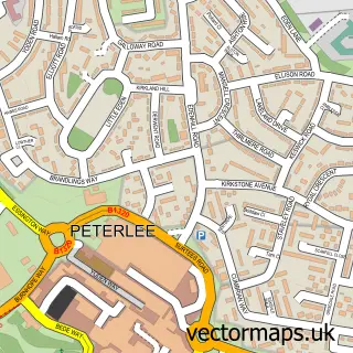

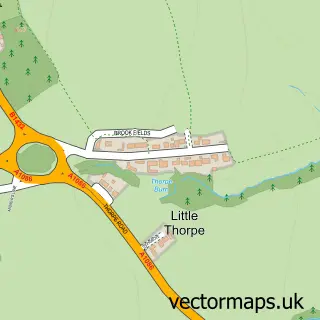
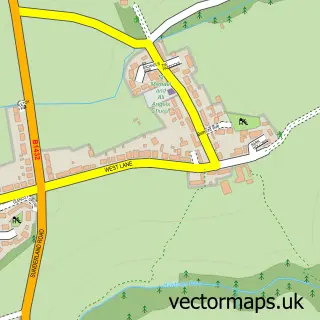
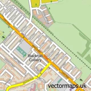
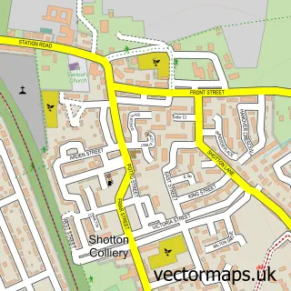
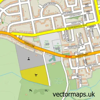
More street maps in Durham
750 metre map area coverage
Boundary, postcode and point of interest information for the 750m x 750m rectangle centred on this sample map.
Boundaries containing map centre
Constituency: Easington Co Const
District: County Durham
Icb: NHS North East and North Cumbria ICB
Parish: Easington Colliery CP
Police Force: durham
Postcode District: SR8
Postcode Sector: SR8 3
Nearby boundaries intersecting sample
No additional intersecting boundaries found.
Postcode coverage
POI category counts
Cafe: 4
Doctor: 4
Community Services Non Profits: 3
Anglican Church: 2
Butcher Shop: 2
Fast Food Restaurant: 2
Firework Retailer: 2
General Dentistry: 2
Park: 2
Pet Groomer: 2
Sample points of interest
- Jacs Accountancy Ltd
- Easington Colliery AFC
- Church of the Ascension
- The Ascension
- Magic Gecko
- Birchwood Court Residential Care Home - Sanctuary Care
- The Cooperative Food (BF) Easington Colliery, Easington Colliery
- Car Care
- Seasidelane Barbers | Peterlee
- Easington Beach Banks
- Koko Hair Design
- Resurrect Painting
Create a larger editable map of Easington Colliery
This sample shows only a 750 metre area. To create a larger map of Easington Colliery, use our map builder to choose your own coverage area, add titles and download editable SVG, PDF and PNG files.
Create a custom map of Easington Colliery