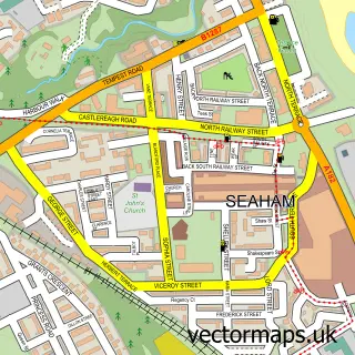
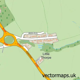
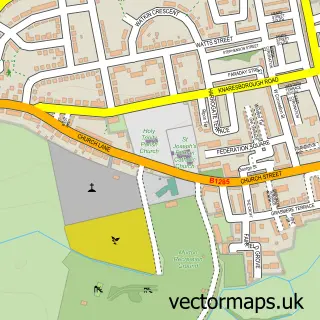
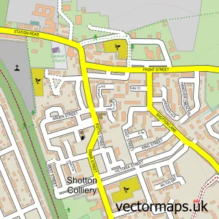
This Hawthorn street map is a detailed vector street map covering a 750m x 750m area. Select a larger area to create and download your own vector street map of Hawthorn.
The 750-metre map sample for Hawthorn covers 127 mapped buildings and approximately 9.3 km of road detail, of which 10 named roads are named. The immediate area includes 1 GP surgery within 2 miles and 3 MOT stations within 2 miles. To create a larger or custom map of Hawthorn, the map builder lets you define your own coverage area and download editable SVG, PDF and PNG files.
Create a larger editable map of Hawthorn
Choose any area you need and generate a high-quality vector map instantly. Perfect for print, planning, design, business and personal use.

This Hawthorn street map in Durham is available as downloadable SVG, PDF and PNG map files, or as a printed map for planning, business, display, education, local information and design work. You can also create a larger custom map area using the map selector.
What this Hawthorn map sample shows
Hawthorn lies within Hawthorn Cp parish, part of Easington ward in the County Durham local authority area. The postcode geography for this area includes the SR postcode area, the SR7 postcode district and the SR7 8 postcode sector. Residents fall under the Nhs North East And North Cumbria Integrated Care Board for NHS services.
Local features near Hawthorn
Within 2 milesAmenities and services in and around Hawthorn.
Administrative and postcode information for Hawthorn
The local authority covering Hawthorn is County Durham, within the county of Durham. The settlement lies within Easington ward and Hawthorn Cp civil parish. The SR7 postcode district and SR7 8 postcode sector serve the immediate area. NHS provision in the area is delivered through South Tyneside And Sunderland Nhs Foundation Trust.
Nearby street map samples around Hawthorn

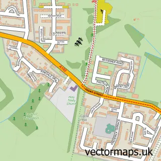
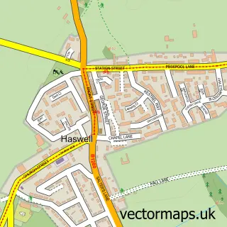
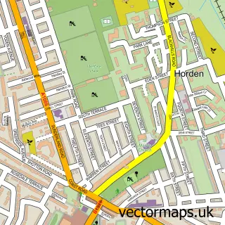
More street maps in Durham
750 metre map area coverage
Boundary, postcode and point of interest information for the 750m x 750m rectangle centred on this sample map.
Boundaries containing map centre
Constituency: Easington Co Const
District: County Durham
Icb: NHS North East and North Cumbria ICB
Parish: Hawthorn CP
Police Force: durham
Postcode District: SR7
Postcode Sector: SR7 8
Nearby boundaries intersecting sample
Parish: Easington Village CP
Postcode District: SR8
Postcode Sector: SR8 3
Postcode coverage
POI category counts
Beauty Salon: 1
Church Cathedral: 1
Convenience Store: 1
Home Goods Store: 1
Metal Supplier: 1
Pet Services: 1
Steakhouse: 1
Sample points of interest
- Hairdressing At Westlea Health and Beauty
- St Michael and All Angels Church
- Westlea Foodstore
- Cateraid
- React Architectural Metalwork
- Kinley Hill Livery
- Stapylton Steakhouse
Create a larger editable map of Hawthorn
This sample shows only a 750 metre area. To create a larger map of Hawthorn, use our map builder to choose your own coverage area, add titles and download editable SVG, PDF and PNG files.
Create a custom map of Hawthorn