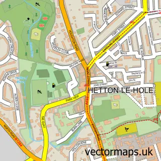
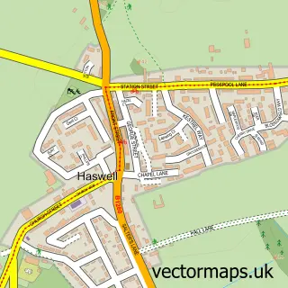
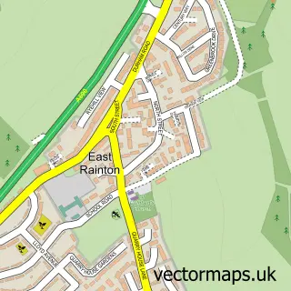
This Murton street map is a detailed vector street map covering a 750m x 750m area. Select a larger area to create and download your own vector street map of Murton.
The 750-metre map sample for Murton covers 307 mapped buildings and approximately 16.8 km of road detail, of which 29 named roads are named. The immediate area includes 2 schools, 3 GP surgeries within 2 miles, 1 pub and 4 MOT stations within 2 miles. The wider area around Murton features 2 tourism points of interest, 2 food and drink venues and 1 hotel. To create a larger or custom map of Murton, the map builder lets you define your own coverage area and download editable SVG, PDF and PNG files.
Create a larger editable map of Murton
Choose any area you need and generate a high-quality vector map instantly. Perfect for print, planning, design, business and personal use.

This Murton street map in Durham is available as downloadable SVG, PDF and PNG map files, or as a printed map for planning, business, display, education, local information and design work. You can also create a larger custom map area using the map selector.
What this Murton map sample shows
Murton lies within Murton Cp parish, part of Murton ward in the County Durham local authority area. The postcode geography for this area includes the SR postcode area, the SR7 postcode district and the SR7 9 postcode sector. Residents fall under the Nhs North East And North Cumbria Integrated Care Board for NHS services.
Local features near Murton
Within 2 milesAmenities and services in and around Murton.
Administrative and postcode information for Murton
The local authority covering Murton is County Durham, within the county of Durham. The settlement lies within Murton ward and Murton Cp civil parish. The SR7 postcode district and SR7 9 postcode sector serve the immediate area. NHS provision in the area is delivered through South Tyneside And Sunderland Nhs Foundation Trust.
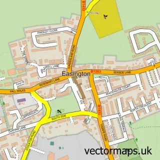
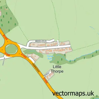
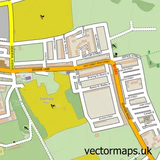
Nearby street map samples around Murton

More street maps in Durham
750 metre map area coverage
Boundary, postcode and point of interest information for the 750m x 750m rectangle centred on this sample map.
Boundaries containing map centre
Constituency: Easington Co Const
District: County Durham
Icb: NHS North East and North Cumbria ICB
Parish: Murton CP
Police Force: durham
Postcode District: SR7
Postcode Sector: SR7 9
Nearby boundaries intersecting sample
No additional intersecting boundaries found.
Postcode coverage
POI category counts
Beauty Salon: 5
Convenience Store: 4
Assisted Living Facility: 3
Betting Center: 2
Bridal Shop: 2
Church Cathedral: 2
Contractor: 2
Elementary School: 2
Hair Salon: 2
Park: 2
Sample points of interest
- Alpha Printing
- HT Murton
- Church View Care Home - Care UK
- Murton Grange
- Trinity House
- LC Tyres
- InstaVolt
- High House Pub Murton
- Nails & Beauty by Dannie
- Ljbeauty & Hair Salon
- Donna R - Spray Tans
- E-J Nails
Create a larger editable map of Murton
This sample shows only a 750 metre area. To create a larger map of Murton, use our map builder to choose your own coverage area, add titles and download editable SVG, PDF and PNG files.
Create a custom map of Murton