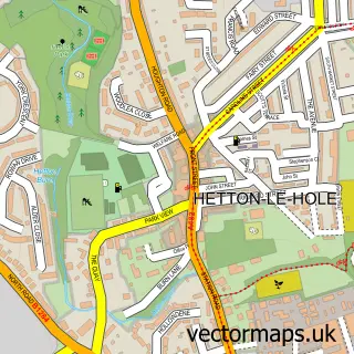
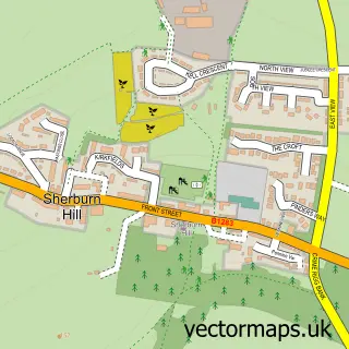
This Easington Lane street map is a detailed vector street map covering a 750m x 750m area. Select a larger area to create and download your own vector street map of Easington Lane.
The 750-metre map sample for Easington Lane covers 404 mapped buildings and approximately 25.2 km of road detail, of which 45 named roads are named. The immediate area includes 1 school, 2 GP surgeries within 2 miles, 2 pubs and 1 MOT station, with 6 within 2 miles. The wider area around Easington Lane features 1 tourism point of interest and 4 food and drink venues. To create a larger or custom map of Easington Lane, the map builder lets you define your own coverage area and download editable SVG, PDF and PNG files.
Create a larger editable map of Easington Lane
Choose any area you need and generate a high-quality vector map instantly. Perfect for print, planning, design, business and personal use.

This Easington Lane street map in Tyne & Wear is available as downloadable SVG, PDF and PNG map files, or as a printed map for planning, business, display, education, local information and design work. You can also create a larger custom map area using the map selector.
What this Easington Lane map sample shows
Easington Lane lies within Hetton Cp parish, part of Hetton ward in the Sunderland District (B) local authority area. The postcode geography for this area includes the DH postcode area, the DH5 postcode district and the DH5 0 postcode sector. Residents fall under the Nhs North East And North Cumbria Integrated Care Board for NHS services.
Local features near Easington Lane
Within 2 milesAmenities and services in and around Easington Lane.
Administrative and postcode information for Easington Lane
Easington Lane lies within Hetton Cp parish, part of Hetton ward in the Sunderland District (B) local authority area. The postcode geography for this area includes the DH postcode area, the DH5 postcode district and the DH5 0 postcode sector. Residents fall under the Nhs North East And North Cumbria Integrated Care Board for NHS services.
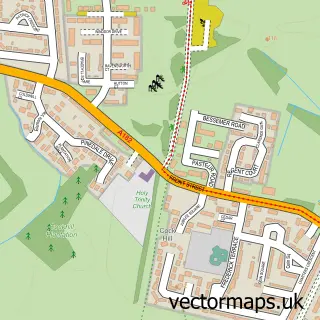
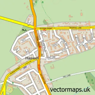
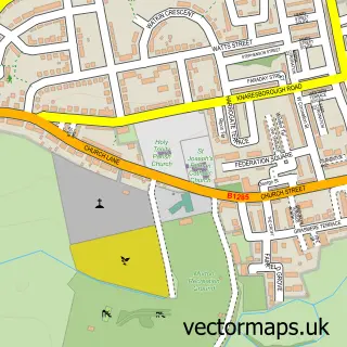
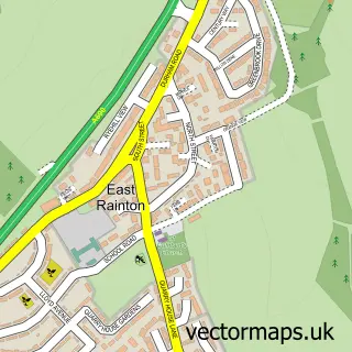
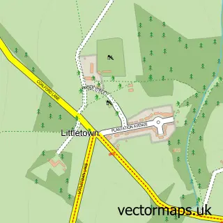
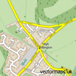
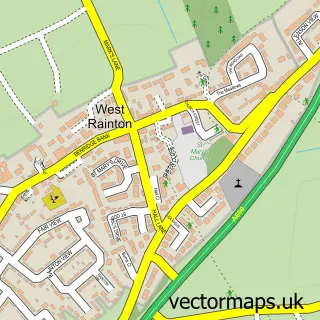
Nearby street map samples around Easington Lane

More street maps in Tyne & Wear
750 metre map area coverage
Boundary, postcode and point of interest information for the 750m x 750m rectangle centred on this sample map.
Boundaries containing map centre
Constituency: Houghton and Sunderland South Co Const
District: Sunderland District (B)
Icb: NHS North East and North Cumbria ICB
Parish: Hetton CP
Police Force: northumberland
Postcode District: DH5
Postcode Sector: DH5 0
Ward: Hetton Ward
Nearby boundaries intersecting sample
No additional intersecting boundaries found.
Postcode coverage
POI category counts
Convenience Store: 5
Dentist: 4
Atms: 3
Post Office: 3
Bakery: 2
Beauty Salon: 2
Chinese Restaurant: 2
Church Cathedral: 2
Elementary School: 2
Fast Food Restaurant: 2
Sample points of interest
- St Michael & All Angels
- PayPoint
- PayPoint
- Payzone
- Danby Autos
- Retro Cars Ltd
- Durham City Cakes
- Studio Cake
- The lane fades
- Glo Hairandbeauty
- Haus of Aesthetica
- Coral
Create a larger editable map of Easington Lane
This sample shows only a 750 metre area. To create a larger map of Easington Lane, use our map builder to choose your own coverage area, add titles and download editable SVG, PDF and PNG files.
Create a custom map of Easington Lane