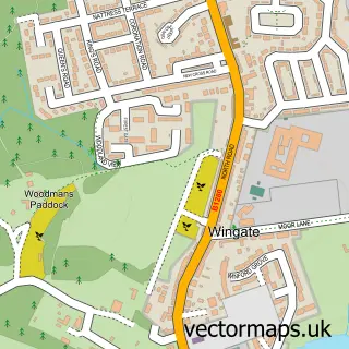
This Wheatley Hill street map is a detailed vector street map covering a 750m x 750m area. Select a larger area to create and download your own vector street map of Wheatley Hill.
The 750-metre map sample for Wheatley Hill covers 314 mapped buildings and approximately 13.3 km of road detail, of which 15 named roads are named. The immediate area includes 2 schools, 2 GP surgeries within 2 miles, 1 pub and 1 MOT station, with 5 within 2 miles. The wider area around Wheatley Hill features 1 food and drink venue and 1 campsite within 2 miles. To create a larger or custom map of Wheatley Hill, the map builder lets you define your own coverage area and download editable SVG, PDF and PNG files.
Create a larger editable map of Wheatley Hill
Choose any area you need and generate a high-quality vector map instantly. Perfect for print, planning, design, business and personal use.

This Wheatley Hill street map in Durham is available as downloadable SVG, PDF and PNG map files, or as a printed map for planning, business, display, education, local information and design work. You can also create a larger custom map area using the map selector.
What this Wheatley Hill map sample shows
Wheatley Hill lies within Wheatley Hill Cp parish, part of Trimdon And Thornley ward in the County Durham local authority area. The postcode geography for this area includes the DH postcode area, the DH6 postcode district and the DH6 3 postcode sector. Residents fall under the Nhs North East And North Cumbria Integrated Care Board for NHS services.
Local features near Wheatley Hill
Within 2 milesAmenities and services in and around Wheatley Hill.
Administrative and postcode information for Wheatley Hill
Wheatley Hill lies within Wheatley Hill Cp parish, part of Trimdon And Thornley ward in the County Durham local authority area. The postcode geography for this area includes the DH postcode area, the DH6 postcode district and the DH6 3 postcode sector. Residents fall under the Nhs North East And North Cumbria Integrated Care Board for NHS services.
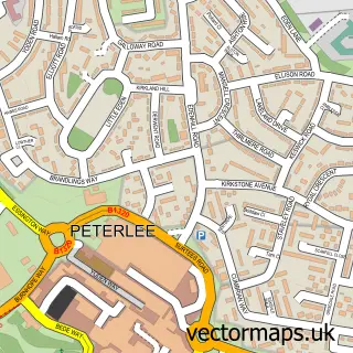
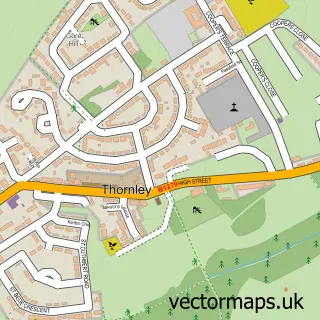
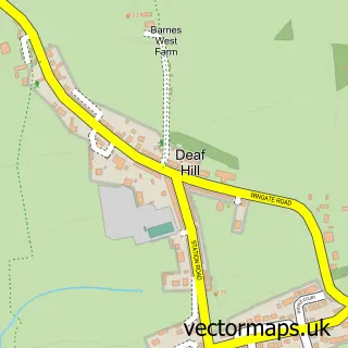
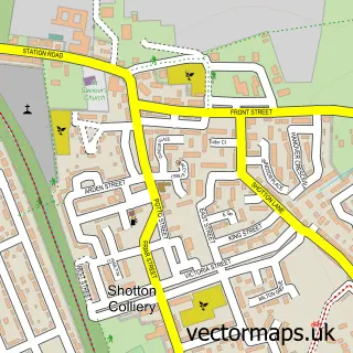
Nearby street map samples around Wheatley Hill


More street maps in Durham
750 metre map area coverage
Boundary, postcode and point of interest information for the 750m x 750m rectangle centred on this sample map.
Boundaries containing map centre
Constituency: Easington Co Const
District: County Durham
Icb: NHS North East and North Cumbria ICB
Parish: Wheatley Hill CP
Police Force: durham
Postcode District: DH6
Postcode Sector: DH6 3
Nearby boundaries intersecting sample
No additional intersecting boundaries found.
Postcode coverage
POI category counts
Dentist: 5
Flowers And Gifts Shop: 4
Elementary School: 3
Community Center: 2
Convenience Store: 2
Funeral Services And Cemeteries: 2
Pet Store: 2
Pizza Restaurant: 2
Atms: 1
Auto Body Shop: 1
Sample points of interest
- The Cooperative Food (BF) Wheatley Hill (ERF), Wheatley Hill
- Durham Coachworks Ltd
- Granville Motors
- Peters Cathedral Bakers
- Iconic Aesthetics
- Ellas Tan and Beauty
- Post Office-Wheatley Hill
- Hot on the spot
- New Golden Leaves Chinese Takeaway
- Greenhills Centre
- Wheatley Hill Community Association
- Wheatley Hill Heritage Centre
Create a larger editable map of Wheatley Hill
This sample shows only a 750 metre area. To create a larger map of Wheatley Hill, use our map builder to choose your own coverage area, add titles and download editable SVG, PDF and PNG files.
Create a custom map of Wheatley Hill