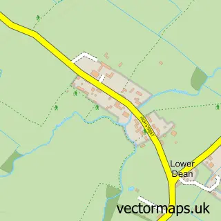
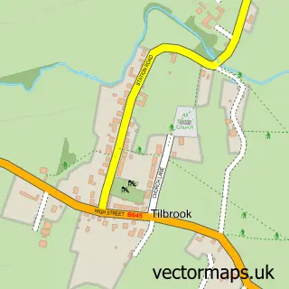
This Upper Dean street map is a detailed vector street map covering a 750m x 750m area. Select a larger area to create and download your own vector street map of Upper Dean.
The 750-metre map sample for Upper Dean covers 137 mapped buildings and approximately 7.7 km of road detail, of which 6 named roads are named. The immediate area includes 1 school and 1 pub. The wider area around Upper Dean features 1 food and drink venue. To create a larger or custom map of Upper Dean, the map builder lets you define your own coverage area and download editable SVG, PDF and PNG files.
Create a larger editable map of Upper Dean
Choose any area you need and generate a high-quality vector map instantly. Perfect for print, planning, design, business and personal use.

This Upper Dean street map in Bedfordshire is available as downloadable SVG, PDF and PNG map files, or as a printed map for planning, business, display, education, local information and design work. You can also create a larger custom map area using the map selector.
What this Upper Dean map sample shows
Upper Dean lies within Dean And Shelton Cp parish, part of Riseley ward in the Bedford (B) local authority area. The postcode geography for this area includes the PE postcode area, the PE28 postcode district and the PE28 0 postcode sector. Residents fall under the Nhs Bedfordshire, Luton And Milton Keynes Integrated Care Board for NHS services.
Local features near Upper Dean
Within 2 milesAmenities and services in and around Upper Dean.
Administrative and postcode information for Upper Dean
Upper Dean lies within Dean And Shelton Cp parish, part of Riseley ward in the Bedford (B) local authority area. The postcode geography for this area includes the PE postcode area, the PE28 postcode district and the PE28 0 postcode sector. Residents fall under the Nhs Bedfordshire, Luton And Milton Keynes Integrated Care Board for NHS services.
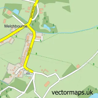
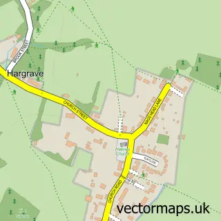
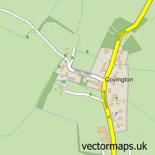
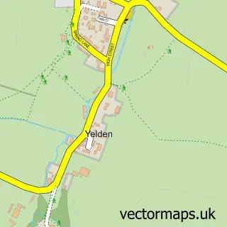
Nearby street map samples around Upper Dean

More street maps in Bedfordshire
750 metre map area coverage
Boundary, postcode and point of interest information for the 750m x 750m rectangle centred on this sample map.
Boundaries containing map centre
Constituency: North Bedfordshire Co Const
District: Bedford (B)
Icb: NHS Central East ICB
Parish: Dean and Shelton CP
Police Force: bedfordshire
Postcode District: PE28
Postcode Sector: PE28 0
Ward: Riseley Ward
Nearby boundaries intersecting sample
No additional intersecting boundaries found.
Postcode coverage
POI category counts
Anglican Church: 1
Beer Wine And Spirits: 1
Church Cathedral: 1
Community Services Non Profits: 1
Cricket Ground: 1
Elementary School: 1
It Service And Computer Repair: 1
Kitchen Remodeling: 1
Post Office: 1
Pub: 1
Sample points of interest
- All Hallows Church, Upper Dean
- High Spirits
- Church of All Saints, Upper Dean
- Little Hall Lavenham
- Dean Cricket Academy
- Eileen Wade Primary School
- Security Co
- P I Tape
- Post Office
- The Three Compasses
Create a larger editable map of Upper Dean
This sample shows only a 750 metre area. To create a larger map of Upper Dean, use our map builder to choose your own coverage area, add titles and download editable SVG, PDF and PNG files.
Create a custom map of Upper Dean