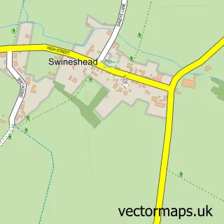
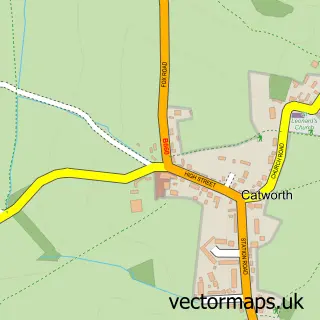
This Tilbrook street map is a detailed vector street map covering a 750m x 750m area. Select a larger area to create and download your own vector street map of Tilbrook.
The 750-metre map sample for Tilbrook covers 99 mapped buildings and approximately 6.5 km of road detail, of which 5 named roads are named. The immediate area includes 1 GP surgery within 2 miles, 1 pub and 1 MOT station within 2 miles. The wider area around Tilbrook features 1 tourism point of interest and 1 food and drink venue. To create a larger or custom map of Tilbrook, the map builder lets you define your own coverage area and download editable SVG, PDF and PNG files.
Create a larger editable map of Tilbrook
Choose any area you need and generate a high-quality vector map instantly. Perfect for print, planning, design, business and personal use.

This Tilbrook street map in Cambridgeshire is available as downloadable SVG, PDF and PNG map files, or as a printed map for planning, business, display, education, local information and design work. You can also create a larger custom map area using the map selector.
What this Tilbrook map sample shows
Tilbrook lies within Tilbrook Cp parish, part of Kimbolton ward in the Huntingdonshire District local authority area. The postcode geography for this area includes the PE postcode area, the PE28 postcode district and the PE28 0 postcode sector. Residents fall under the Nhs Cambridgeshire And Peterborough Integrated Care Board for NHS services.
Local features near Tilbrook
Within 2 milesAmenities and services in and around Tilbrook.
Administrative and postcode information for Tilbrook
The local authority covering Tilbrook is Huntingdonshire District, within the county of Cambridgeshire. The settlement lies within Kimbolton ward and Tilbrook Cp civil parish. The PE28 postcode district and PE28 0 postcode sector serve the immediate area. NHS provision in the area is delivered through North West Anglia Nhs Foundation Trust.
Nearby street map samples around Tilbrook
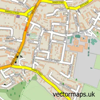

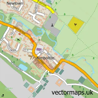
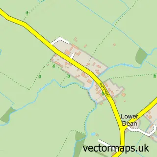
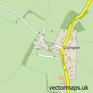
More street maps in Cambridgeshire
750 metre map area coverage
Boundary, postcode and point of interest information for the 750m x 750m rectangle centred on this sample map.
Boundaries containing map centre
Constituency: Huntingdon Co Const
County: Cambridgeshire County
District: Huntingdonshire District
Icb: NHS Central East ICB
Parish: Tilbrook CP
Police Force: cambridgeshire
Postcode District: PE28
Postcode Sector: PE28 0
Ward: Kimbolton Ward
Nearby boundaries intersecting sample
Parish: Kimbolton CP
Postcode coverage
POI category counts
Anglican Church: 1
Automotive Repair: 1
Campground: 1
Event Technology Service: 1
Life Coach: 1
Pawn Shop: 1
Pet Services: 1
Physical Therapy: 1
Pub: 1
Public Service And Government: 1
Sample points of interest
- All Saints
- Catworth Service Station
- Summerfield Campsite
- Modular Solutions
- Julie Grint
- Cash Converters
- Rob Leese Horses
- Reflexology 4 Health
- The White Horse
- Tilbrook Parish Council
Create a larger editable map of Tilbrook
This sample shows only a 750 metre area. To create a larger map of Tilbrook, use our map builder to choose your own coverage area, add titles and download editable SVG, PDF and PNG files.
Create a custom map of Tilbrook