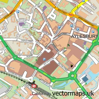
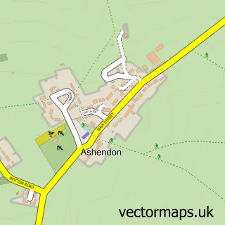
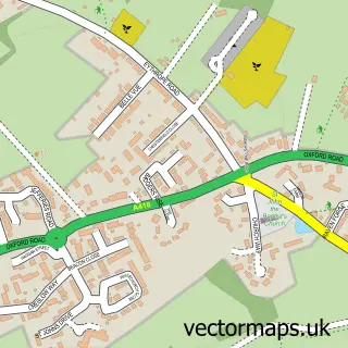
This Waddesdon street map is a detailed vector street map covering a 750m x 750m area. Select a larger area to create and download your own vector street map of Waddesdon.
The 750-metre map sample for Waddesdon covers 173 mapped buildings and approximately 18.9 km of road detail, of which 13 named roads are named. The immediate area includes 1 school, 1 GP surgery within 2 miles, 4 pubs and 1 MOT station, with 4 within 2 miles. The wider area around Waddesdon features 1 tourism point of interest, 6 food and drink venues and 1 hotel. To create a larger or custom map of Waddesdon, the map builder lets you define your own coverage area and download editable SVG, PDF and PNG files.
Create a larger editable map of Waddesdon
Choose any area you need and generate a high-quality vector map instantly. Perfect for print, planning, design, business and personal use.

This Waddesdon street map in Buckinghamshire is available as downloadable SVG, PDF and PNG map files, or as a printed map for planning, business, display, education, local information and design work. You can also create a larger custom map area using the map selector.
What this Waddesdon map sample shows
Waddesdon lies within Waddesdon Cp parish, part of Waddesdon ward in the Buckinghamshire local authority area. The postcode geography for this area includes the HP postcode area, the HP18 postcode district and the HP18 0 postcode sector. Residents fall under the Nhs Buckinghamshire, Oxfordshire And Berkshire West Integrated Care Board for NHS services.
Local features near Waddesdon
Within 2 milesAmenities and services in and around Waddesdon.
Administrative and postcode information for Waddesdon
The local authority covering Waddesdon is Buckinghamshire, within the county of Buckinghamshire. The settlement lies within Waddesdon ward and Waddesdon Cp civil parish. The HP18 postcode district and HP18 0 postcode sector serve the immediate area. NHS provision in the area is delivered through Buckinghamshire Healthcare Nhs Trust.
Nearby street map samples around Waddesdon

More street maps in Buckinghamshire
750 metre map area coverage
Boundary, postcode and point of interest information for the 750m x 750m rectangle centred on this sample map.
Boundaries containing map centre
Constituency: Mid Buckinghamshire Co Const
District: Buckinghamshire
Icb: NHS Thames Valley ICB
Parish: Waddesdon CP
Police Force: thames valley
Postcode District: HP18
Postcode Sector: HP18 0
Ward: Waddesdon Ward
Nearby boundaries intersecting sample
No additional intersecting boundaries found.
Postcode coverage
POI category counts
Professional Services: 4
Pub: 4
Barber: 2
Beauty And Spa: 2
Church Cathedral: 2
Coffee Shop: 2
Preschool: 2
Veterinarian: 2
Acupuncture: 1
Anglican Church: 1
Sample points of interest
- Acupuncture with Juliette Emily
- Waddesdon: St Michael & All Angels
- Farrelly Antiques
- The Bot Forge
- National Trust
- Ace of Shaves-Haddenham
- Ginger Jack's barbering
- Affinity Hair Design
- Bloom Rejuve & The IV Bloom Bar
- Little Oaks Pre School
- St Michael's & All Angels Church
- Waddesdon Methodist Church
Create a larger editable map of Waddesdon
This sample shows only a 750 metre area. To create a larger map of Waddesdon, use our map builder to choose your own coverage area, add titles and download editable SVG, PDF and PNG files.
Create a custom map of Waddesdon