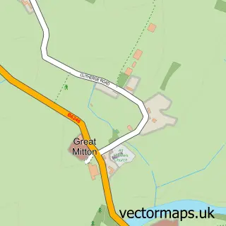
This Waddington street map is a detailed vector street map covering a 750m x 750m area. Select a larger area to create and download your own vector street map of Waddington.
The 750-metre map sample for Waddington covers 212 mapped buildings and approximately 10.6 km of road detail, of which 15 named roads are named. The immediate area includes 2 GP surgeries within 2 miles, 3 pubs and 10 MOT stations within 2 miles. The wider area around Waddington features 3 food and drink venues, 3 hotels and 1 campsite within 2 miles. To create a larger or custom map of Waddington, the map builder lets you define your own coverage area and download editable SVG, PDF and PNG files.
Create a larger editable map of Waddington
Choose any area you need and generate a high-quality vector map instantly. Perfect for print, planning, design, business and personal use.

This Waddington street map in Lancashire is available as downloadable SVG, PDF and PNG map files, or as a printed map for planning, business, display, education, local information and design work. You can also create a larger custom map area using the map selector.
What this Waddington map sample shows
Waddington lies within Waddington Cp parish, part of Waddington, Bashall Eaves & Mitton ward in the Ribble Valley District (B) local authority area. The postcode geography for this area includes the BB postcode area, the BB7 postcode district and the BB7 3 postcode sector. Residents fall under the Nhs Lancashire And South Cumbria Integrated Care Board for NHS services.
Local features near Waddington
Within 2 milesAmenities and services in and around Waddington.
Administrative and postcode information for Waddington
The local authority covering Waddington is Ribble Valley District (B), within the county of Lancashire. The settlement lies within Waddington, Bashall Eaves & Mitton ward and Waddington Cp civil parish. The BB7 postcode district and BB7 3 postcode sector serve the immediate area. NHS provision in the area is delivered through East Lancashire Hospitals Nhs Trust.
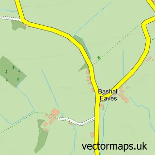
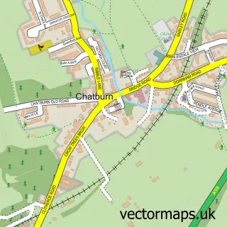
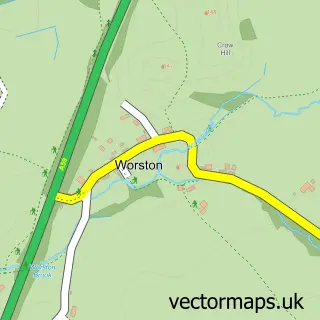
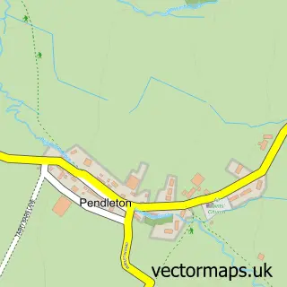
Nearby street map samples around Waddington

More street maps in Lancashire
750 metre map area coverage
Boundary, postcode and point of interest information for the 750m x 750m rectangle centred on this sample map.
Boundaries containing map centre
Constituency: Ribble Valley Co Const
County: Lancashire County
District: Ribble Valley District (B)
Icb: NHS Lancashire and South Cumbria ICB
Parish: Waddington CP
Police Force: lancashire
Postcode District: BB7
Postcode Sector: BB7 3
Ward: Waddington, Bashall Eaves & Mitton Ward
Nearby boundaries intersecting sample
No additional intersecting boundaries found.
Postcode coverage
POI category counts
Pub: 3
Hotel: 2
Advertising Agency: 1
Anglican Church: 1
Beverage Store: 1
Church Cathedral: 1
Currency Exchange: 1
Electrician: 1
Financial Service: 1
Key And Locksmith: 1
Sample points of interest
- Mint Communications
- Waddington: St Helen
- Rectella International
- St Helen's Church
- Post Office Travel Money
- G Warburton Electrical
- Ben Phillips
- Cobble View Cottage, Waddington, Clitheroe Air bnb Clitheroe
- Orchard Cottages
- Sab Locksmiths
- Waddington Post Office
- Royal Forest Masonic Lodge 401
Create a larger editable map of Waddington
This sample shows only a 750 metre area. To create a larger map of Waddington, use our map builder to choose your own coverage area, add titles and download editable SVG, PDF and PNG files.
Create a custom map of Waddington