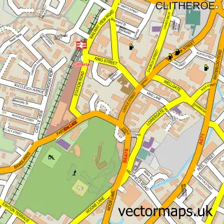
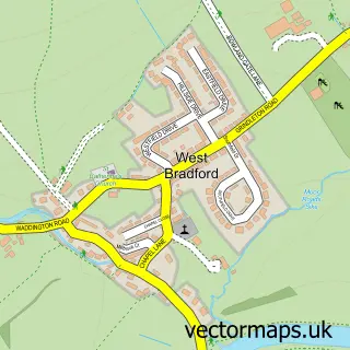
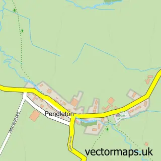
This Chatburn street map is a detailed vector street map covering a 750m x 750m area. Select a larger area to create and download your own vector street map of Chatburn.
The 750-metre map sample for Chatburn covers 201 mapped buildings and approximately 12.8 km of road detail, of which 23 named roads are named. The immediate area includes 1 school, 3 pubs and 6 MOT stations within 2 miles. The wider area around Chatburn features 3 food and drink venues. To create a larger or custom map of Chatburn, the map builder lets you define your own coverage area and download editable SVG, PDF and PNG files.
Create a larger editable map of Chatburn
Choose any area you need and generate a high-quality vector map instantly. Perfect for print, planning, design, business and personal use.

This Chatburn street map in Lancashire is available as downloadable SVG, PDF and PNG map files, or as a printed map for planning, business, display, education, local information and design work. You can also create a larger custom map area using the map selector.
What this Chatburn map sample shows
Chatburn lies within Chatburn Cp parish, part of Chatburn ward in the Ribble Valley District (B) local authority area. The postcode geography for this area includes the BB postcode area, the BB7 postcode district and the BB7 4 postcode sector. Residents fall under the Nhs Lancashire And South Cumbria Integrated Care Board for NHS services.
Local features near Chatburn
Within 2 milesAmenities and services in and around Chatburn.
Administrative and postcode information for Chatburn
Chatburn lies within Chatburn Cp parish, part of Chatburn ward in the Ribble Valley District (B) local authority area. The postcode geography for this area includes the BB postcode area, the BB7 postcode district and the BB7 4 postcode sector. Residents fall under the Nhs Lancashire And South Cumbria Integrated Care Board for NHS services.
Nearby street map samples around Chatburn

More street maps in Lancashire
750 metre map area coverage
Boundary, postcode and point of interest information for the 750m x 750m rectangle centred on this sample map.
Boundaries containing map centre
Constituency: Pendle and Clitheroe Co Const
County: Lancashire County
District: Ribble Valley District (B)
Icb: NHS Lancashire and South Cumbria ICB
Parish: Chatburn CP
Police Force: lancashire
Postcode District: BB7
Postcode Sector: BB7 4
Ward: Chatburn Ward
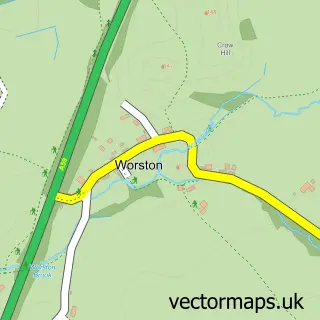
Nearby boundaries intersecting sample
Parish: Worston CP
Postcode Sector: BB7 1
Postcode coverage
POI category counts
Convenience Store: 4
Beauty Salon: 3
Pub: 3
Flowers And Gifts Shop: 2
It Service And Computer Repair: 2
Shipping Center: 2
Accommodation: 1
Advertising Agency: 1
Anglican Church: 1
Bakery: 1
Sample points of interest
- Chatburn Village
- High Design
- Christ Church, Chatburn
- Mandy's of Chatburn
- Dr Bello Aesthetics
- Kisskurls
- Mad About Beauty
- Rebecca nails & beauty
- Roy Porter Butchers
- Chatburn Methodist Church
- Powerblast
- Costcutter
Create a larger editable map of Chatburn
This sample shows only a 750 metre area. To create a larger map of Chatburn, use our map builder to choose your own coverage area, add titles and download editable SVG, PDF and PNG files.
Create a custom map of Chatburn