This Downham street map is a detailed vector street map covering a 750m x 750m area. Select a larger area to create and download your own vector street map of Downham.
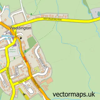
The 750-metre map sample for Downham covers 57 mapped buildings and approximately 11.1 km of road detail, of which 7 named roads are named. The immediate area includes 1 pub and 1 MOT station within 2 miles. The wider area around Downham features 1 tourism point of interest and 1 food and drink venue. To create a larger or custom map of Downham, the map builder lets you define your own coverage area and download editable SVG, PDF and PNG files.
Create a larger editable map of Downham
Choose any area you need and generate a high-quality vector map instantly. Perfect for print, planning, design, business and personal use.

This Downham street map in Lancashire is available as downloadable SVG, PDF and PNG map files, or as a printed map for planning, business, display, education, local information and design work. You can also create a larger custom map area using the map selector.
What this Downham map sample shows
Downham lies within Downham Cp parish, part of Chatburn ward in the Ribble Valley District (B) local authority area. The postcode geography for this area includes the BB postcode area, the BB7 postcode district and the BB7 4 postcode sector. Residents fall under the Nhs Lancashire And South Cumbria Integrated Care Board for NHS services.
Local features near Downham
Within 2 milesAmenities and services in and around Downham.
Administrative and postcode information for Downham
The local authority covering Downham is Ribble Valley District (B), within the county of Lancashire. The settlement lies within Chatburn ward and Downham Cp civil parish. The BB7 postcode district and BB7 4 postcode sector serve the immediate area. NHS provision in the area is delivered through East Lancashire Hospitals Nhs Trust.
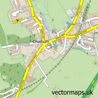
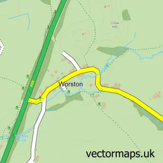
Nearby street map samples around Downham
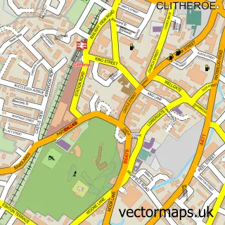

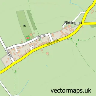
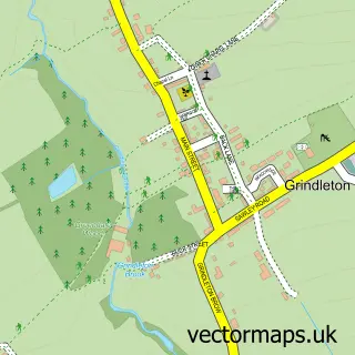
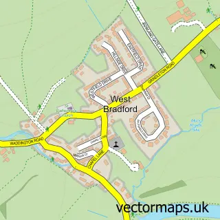
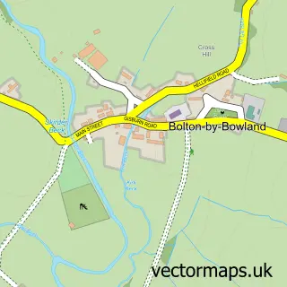
More street maps in Lancashire
750 metre map area coverage
Boundary, postcode and point of interest information for the 750m x 750m rectangle centred on this sample map.
Boundaries containing map centre
Constituency: Pendle and Clitheroe Co Const
County: Lancashire County
District: Ribble Valley District (B)
Icb: NHS Lancashire and South Cumbria ICB
Parish: Downham CP
Police Force: lancashire
Postcode District: BB7
Postcode Sector: BB7 4
Ward: Chatburn Ward
Nearby boundaries intersecting sample
Parish: Chatburn CP
Postcode coverage
POI category counts
Accommodation: 1
Anglican Church: 1
Automotive: 1
Church Cathedral: 1
Ice Cream Shop: 1
Land Surveying: 1
Landmark And Historical Building: 1
Preschool: 1
Pub: 1
Retail: 1
Sample points of interest
- Downham Village
- St Leonard
- Read Mobile Tuning
- St Leonard's Church
- Downham Ice Cream Shop
- Marshal Peters Associates
- Downham Hall
- Downham Pre School
- Assheton Arms
- Bowland Bioenergy
- DNA IT Solutions
Create a larger editable map of Downham
This sample shows only a 750 metre area. To create a larger map of Downham, use our map builder to choose your own coverage area, add titles and download editable SVG, PDF and PNG files.
Create a custom map of Downham