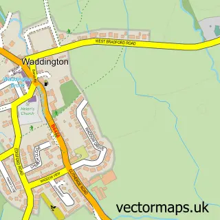
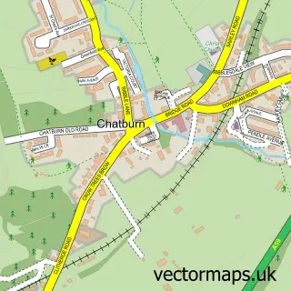
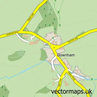
This Clitheroe street map is a detailed vector street map covering a 750m x 750m area. Select a larger area to create and download your own vector street map of Clitheroe.
The 750-metre map sample for Clitheroe covers 372 mapped buildings and approximately 22.6 km of road detail, of which 77 named roads are named. The immediate area includes 1 primary school and 1 secondary school, 1 railway station, 2 GP surgeries and 15 pubs among other local services. The wider area around Clitheroe features 4 tourism points of interest, 40 food and drink venues and 4 hotels. To create a larger or custom map of Clitheroe, the map builder lets you define your own coverage area and download editable SVG, PDF and PNG files.
Create a larger editable map of Clitheroe
Choose any area you need and generate a high-quality vector map instantly. Perfect for print, planning, design, business and personal use.

This Clitheroe street map in Lancashire is available as downloadable SVG, PDF and PNG map files, or as a printed map for planning, business, display, education, local information and design work. You can also create a larger custom map area using the map selector.
What this Clitheroe map sample shows
Clitheroe lies within Clitheroe Cp parish, part of Salthill ward in the Ribble Valley District (B) local authority area. The postcode geography for this area includes the BB postcode area, the BB7 postcode district and the BB7 2 postcode sector. Residents fall under the Nhs Lancashire And South Cumbria Integrated Care Board for NHS services.
Local features near Clitheroe
Within 2 milesAmenities and services in and around Clitheroe.
Administrative and postcode information for Clitheroe
The local authority covering Clitheroe is Ribble Valley District (B), within the county of Lancashire. The settlement lies within Salthill ward and Clitheroe Cp civil parish. The BB7 postcode district and BB7 2 postcode sector serve the immediate area. NHS provision in the area is delivered through East Lancashire Hospitals Nhs Trust.
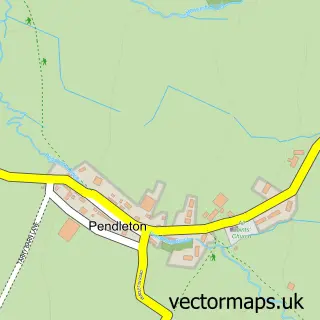
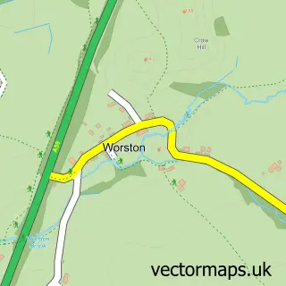
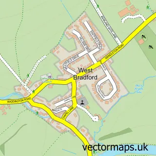
Nearby street map samples around Clitheroe

More street maps in Lancashire
750 metre map area coverage
Boundary, postcode and point of interest information for the 750m x 750m rectangle centred on this sample map.
Boundaries containing map centre
Constituency: Pendle and Clitheroe Co Const
County: Lancashire County
District: Ribble Valley District (B)
Icb: NHS Lancashire and South Cumbria ICB
Parish: Clitheroe CP
Police Force: lancashire
Postcode District: BB7
Postcode Sector: BB7 2
Ward: Primrose Ward
Nearby boundaries intersecting sample
Postcode Sector: BB7 1
Ward: Edisford & Low Moor Ward, Littlemoor Ward, Salthill Ward, St. Mary's Ward
Postcode coverage
POI category counts
Beauty Salon: 21
Cafe: 15
Clothing Store: 15
Professional Services: 15
Pub: 15
Furniture Store: 13
Hair Salon: 13
Retail: 11
Bar: 10
Flowers And Gifts Shop: 10
Sample points of interest
- Adams & Co.
- David Evans Chartered Accountants
- Evans Accountants
- FS Accountants
- J S Accountancy
- Redmayne & Co.
- Branches Design
- Deannamic Designs
- Fortunatelly
- Latitude Studios Ltd
- Love to Brand Ltd
- RSPCA
Create a larger editable map of Clitheroe
This sample shows only a 750 metre area. To create a larger map of Clitheroe, use our map builder to choose your own coverage area, add titles and download editable SVG, PDF and PNG files.
Create a custom map of Clitheroe