This Warnford street map is a detailed vector street map covering a 750m x 750m area. Select a larger area to create and download your own vector street map of Warnford.
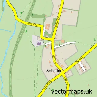
The 750-metre map sample for Warnford covers 58 mapped buildings and approximately 8.6 km of road detail, of which 2 named roads are named. The immediate area includes 1 GP surgery within 2 miles and 1 pub. The wider area around Warnford features 1 food and drink venue, 1 hotel and 1 campsite within 2 miles. To create a larger or custom map of Warnford, the map builder lets you define your own coverage area and download editable SVG, PDF and PNG files.
Create a larger editable map of Warnford
Choose any area you need and generate a high-quality vector map instantly. Perfect for print, planning, design, business and personal use.

This Warnford street map in Hampshire is available as downloadable SVG, PDF and PNG map files, or as a printed map for planning, business, display, education, local information and design work. You can also create a larger custom map area using the map selector.
What this Warnford map sample shows
Warnford lies within Warnford Cp parish, part of Upper Meon Valley ward in the Winchester District (B) local authority area. The postcode geography for this area includes the SO postcode area, the SO32 postcode district and the SO32 3 postcode sector. Residents fall under the Nhs Hampshire And Isle Of Wight Integrated Care Board for NHS services.
Local features near Warnford
Within 2 milesAmenities and services in and around Warnford.
Administrative and postcode information for Warnford
The local authority covering Warnford is Winchester District (B), within the county of Hampshire. The settlement lies within Upper Meon Valley ward and Warnford Cp civil parish. The SO32 postcode district and SO32 3 postcode sector serve the immediate area. NHS provision in the area is delivered through Hampshire Hospitals Nhs Foundation Trust.
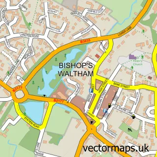
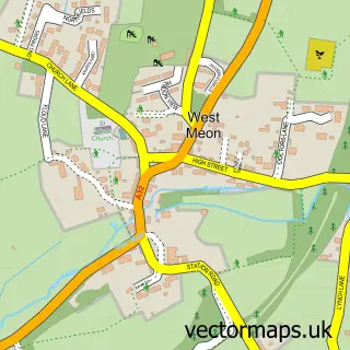
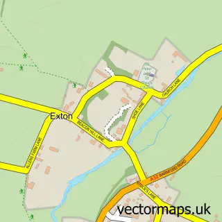
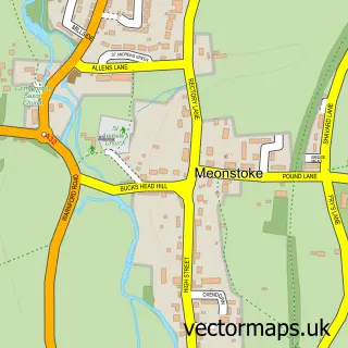
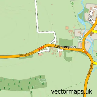
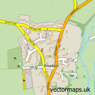
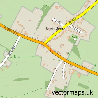
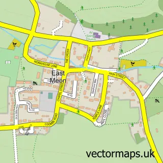
Nearby street map samples around Warnford

More street maps in Hampshire
750 metre map area coverage
Boundary, postcode and point of interest information for the 750m x 750m rectangle centred on this sample map.
Boundaries containing map centre
Constituency: Winchester Co Const
County: Hampshire County
District: Winchester District (B)
Icb: NHS Hampshire and Isle of Wight ICB
Parish: Warnford CP
Police Force: hampshire
Postcode District: SO32
Postcode Sector: SO32 3
Ward: Upper Meon Valley Ward
Nearby boundaries intersecting sample
No additional intersecting boundaries found.
Postcode coverage
POI category counts
Active Life: 1
Anglican Church: 1
Auto Upholstery: 1
Bar: 1
Building Contractor: 1
Church Cathedral: 1
Hotel: 1
Laboratory Testing: 1
Motorcycle Repair: 1
Pub: 1
Sample points of interest
- Moorhen Trout Fishery
- The Church of Our Lady
- Dawn Houghton Upholstery
- Winchester Bar Services
- Huxley Golf
- Church of Our Lady
- The George And Falcon
- Centre for Industrial Rheology
- Earle Brothers Motorcycles
- George & Falcon Inn
- Planks Of Petersfield
- Ideal Commercials
Create a larger editable map of Warnford
This sample shows only a 750 metre area. To create a larger map of Warnford, use our map builder to choose your own coverage area, add titles and download editable SVG, PDF and PNG files.
Create a custom map of Warnford