This Weaverthorpe street map is a detailed vector street map covering a 750m x 750m area. Select a larger area to create and download your own vector street map of Weaverthorpe.
The 750-metre map sample for Weaverthorpe covers 131 mapped buildings and approximately 6.9 km of road detail, of which 4 named roads are named. The immediate area includes 1 pub. The wider area around Weaverthorpe features 1 tourism point of interest, 1 food and drink venue and 2 hotels. To create a larger or custom map of Weaverthorpe, the map builder lets you define your own coverage area and download editable SVG, PDF and PNG files.
Create a larger editable map of Weaverthorpe
Choose any area you need and generate a high-quality vector map instantly. Perfect for print, planning, design, business and personal use.

This Weaverthorpe street map in North Yorkshire is available as downloadable SVG, PDF and PNG map files, or as a printed map for planning, business, display, education, local information and design work. You can also create a larger custom map area using the map selector.
What this Weaverthorpe map sample shows
Weaverthorpe lies within Weaverthorpe Cp parish, part of Wolds ward in the North Yorkshire local authority area. The postcode geography for this area includes the YO postcode area, the YO17 postcode district and the YO17 8 postcode sector. Residents fall under the Nhs Humber And North Yorkshire Integrated Care Board for NHS services.
Local features near Weaverthorpe
Within 2 milesAmenities and services in and around Weaverthorpe.
Administrative and postcode information for Weaverthorpe
Weaverthorpe lies within Weaverthorpe Cp parish, part of Wolds ward in the North Yorkshire local authority area. The postcode geography for this area includes the YO postcode area, the YO17 postcode district and the YO17 8 postcode sector. Residents fall under the Nhs Humber And North Yorkshire Integrated Care Board for NHS services.
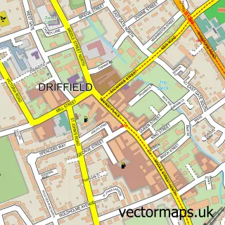
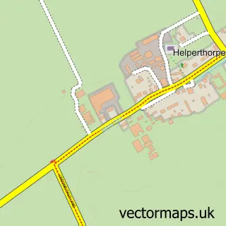
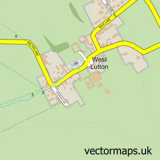
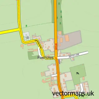
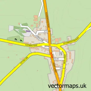
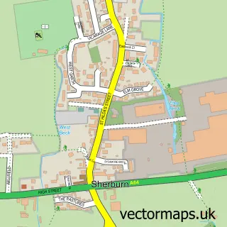
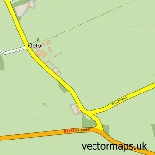
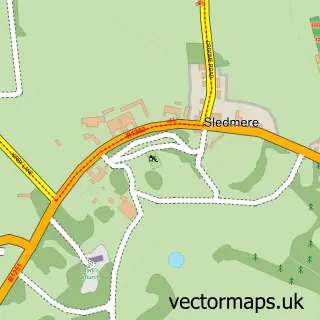
Nearby street map samples around Weaverthorpe

More street maps in North Yorkshire
750 metre map area coverage
Boundary, postcode and point of interest information for the 750m x 750m rectangle centred on this sample map.
Boundaries containing map centre
Constituency: Thirsk and Malton Co Const
District: North Yorkshire
Icb: NHS Humber and North Yorkshire ICB
Parish: Weaverthorpe CP
Police Force: north yorkshire
Postcode District: YO17
Postcode Sector: YO17 8
Nearby boundaries intersecting sample
No additional intersecting boundaries found.
Postcode coverage
POI category counts
Hotel: 2
Inn: 2
Post Office: 2
Automotive Repair: 1
Bed And Breakfast: 1
Campground: 1
Driving School: 1
Garbage Collection Service: 1
Home Goods Store: 1
Laundry Services: 1
Sample points of interest
- Vellco Tyre Control
- Star Inn
- Yorkshire Wolds Glamping
- Dave Skelton Driving Tuition
- Vellco Tyre Control
- Vellco Tyre Control
- The Blue Bell Weaverthorpe
- The Star Inn Malton
- The Blue Bell Inn
- The Star Inn Weaverthorpe
- Elite Carpet & Upholstery Care
- Reverie Metal Co
Create a larger editable map of Weaverthorpe
This sample shows only a 750 metre area. To create a larger map of Weaverthorpe, use our map builder to choose your own coverage area, add titles and download editable SVG, PDF and PNG files.
Create a custom map of Weaverthorpe