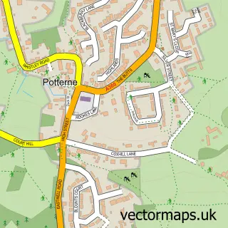
This West Lavington street map is a detailed vector street map covering a 750m x 750m area. Select a larger area to create and download your own vector street map of West Lavington.
The 750-metre map sample for West Lavington covers 134 mapped buildings and approximately 8.7 km of road detail, of which 14 named roads are named. The immediate area includes 1 GP surgery, with 2 within 2 miles, 1 pub and 2 MOT stations within 2 miles. The wider area around West Lavington features 1 food and drink venue. To create a larger or custom map of West Lavington, the map builder lets you define your own coverage area and download editable SVG, PDF and PNG files.
Create a larger editable map of West Lavington
Choose any area you need and generate a high-quality vector map instantly. Perfect for print, planning, design, business and personal use.

This West Lavington street map in Wiltshire is available as downloadable SVG, PDF and PNG map files, or as a printed map for planning, business, display, education, local information and design work. You can also create a larger custom map area using the map selector.
What this West Lavington map sample shows
West Lavington lies within West Lavington Cp parish, part of The Lavingtons And Erlestoke ward in the Wiltshire local authority area. The postcode geography for this area includes the SN postcode area, the SN10 postcode district and the SN10 4 postcode sector. Residents fall under the Nhs Bath And North East Somerset, Swindon And Wiltshire Integrated Care Board for NHS services.
Local features near West Lavington
Within 2 milesAmenities and services in and around West Lavington.
Administrative and postcode information for West Lavington
The local authority covering West Lavington is Wiltshire, within the county of Wiltshire. The settlement lies within The Lavingtons And Erlestoke ward and West Lavington Cp civil parish. The SN10 postcode district and SN10 4 postcode sector serve the immediate area. NHS provision in the area is delivered through Salisbury Nhs Foundation Trust.
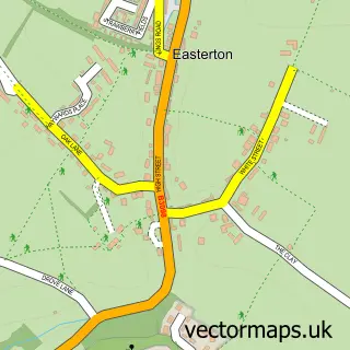
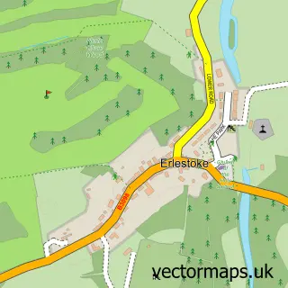
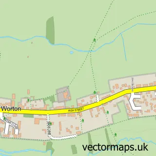
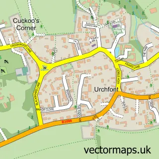
Nearby street map samples around West Lavington

More street maps in Wiltshire
750 metre map area coverage
Boundary, postcode and point of interest information for the 750m x 750m rectangle centred on this sample map.
Boundaries containing map centre
Constituency: Melksham and Devizes Co Const
District: Wiltshire
Icb: NHS Bath and North East Somerset Swindon and Wiltshire ICB
Parish: West Lavington CP
Police Force: wiltshire
Postcode District: SN10
Postcode Sector: SN10 4
Nearby boundaries intersecting sample
No additional intersecting boundaries found.
Postcode coverage
POI category counts
Amateur Sports Team: 1
Anglican Church: 1
Art Gallery: 1
Arts And Crafts: 1
Assisted Living Facility: 1
Car Dealer: 1
Church Cathedral: 1
Convenience Store: 1
Environmental Conservation Organization: 1
Family Practice: 1
Sample points of interest
- Devizes Hockey Club
- West Lavington: All Saints
- West Lavington Manor
- the studio at no 3
- The Old Dairy
- Lowe's of Lavington
- All Saints Church
- Londis
- Hedges House Sheltered Housing
- Courtyard Surgery
- Fast Forward Fitcamp Lavington
- Colour Flow Painters & Decorators
Create a larger editable map of West Lavington
This sample shows only a 750 metre area. To create a larger map of West Lavington, use our map builder to choose your own coverage area, add titles and download editable SVG, PDF and PNG files.
Create a custom map of West Lavington