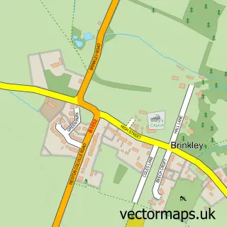
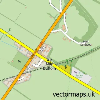
This West Wratting street map is a detailed vector street map covering a 750m x 750m area. Select a larger area to create and download your own vector street map of West Wratting.
The 750-metre map sample for West Wratting covers 131 mapped buildings and approximately 11.3 km of road detail, of which 6 named roads are named. To create a larger or custom map of West Wratting, the map builder lets you define your own coverage area and download editable SVG, PDF and PNG files.
Create a larger editable map of West Wratting
Choose any area you need and generate a high-quality vector map instantly. Perfect for print, planning, design, business and personal use.

This West Wratting street map in Cambridgeshire is available as downloadable SVG, PDF and PNG map files, or as a printed map for planning, business, display, education, local information and design work. You can also create a larger custom map area using the map selector.
What this West Wratting map sample shows
West Wratting lies within West Wratting Cp parish, part of Balsham ward in the South Cambridgeshire District local authority area. The postcode geography for this area includes the CB postcode area, the CB21 postcode district and the CB21 5 postcode sector. Residents fall under the Nhs Cambridgeshire And Peterborough Integrated Care Board for NHS services.
Administrative and postcode information for West Wratting
West Wratting lies within West Wratting Cp parish, part of Balsham ward in the South Cambridgeshire District local authority area. The postcode geography for this area includes the CB postcode area, the CB21 postcode district and the CB21 5 postcode sector. Residents fall under the Nhs Cambridgeshire And Peterborough Integrated Care Board for NHS services.
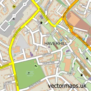
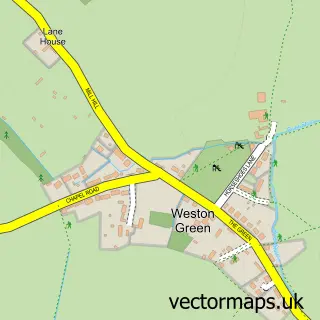
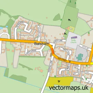
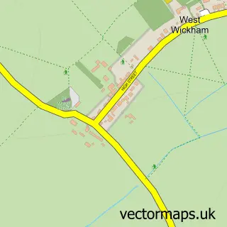
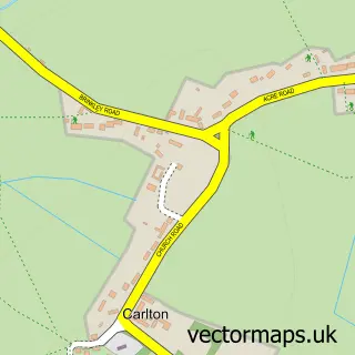
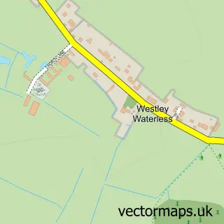
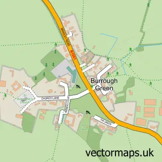
Nearby street map samples around West Wratting

More street maps in Cambridgeshire
750 metre map area coverage
Boundary, postcode and point of interest information for the 750m x 750m rectangle centred on this sample map.
Boundaries containing map centre
Constituency: South Cambridgeshire Co Const
County: Cambridgeshire County
District: South Cambridgeshire District
Icb: NHS Central East ICB
Parish: West Wratting CP
Police Force: cambridgeshire
Postcode District: CB21
Postcode Sector: CB21 5
Ward: Balsham Ward
Nearby boundaries intersecting sample
Parish: Weston Colville CP
Postcode coverage
POI category counts
Health And Medical: 2
Anglican Church: 1
Beauty Salon: 1
Bed And Breakfast: 1
Cottage: 1
Hair Stylist: 1
Horse Trainer: 1
Sports Club And League: 1
Sample points of interest
- St Andrew, West Wratting
- Salon 38
- Bakery Cottage
- Bakery Cottage
- Cutting Edge Mobile Hair & Beauty
- Groenhart Holistic Care
- Village Vet
- Sarah Humphrey Horse Racing
- West Wratting Tennis Club
Create a larger editable map of West Wratting
This sample shows only a 750 metre area. To create a larger map of West Wratting, use our map builder to choose your own coverage area, add titles and download editable SVG, PDF and PNG files.
Create a custom map of West Wratting