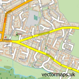
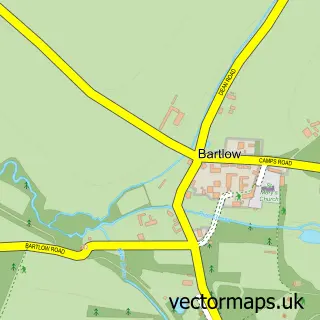
This Balsham street map is a detailed vector street map covering a 750m x 750m area. Select a larger area to create and download your own vector street map of Balsham.
The 750-metre map sample for Balsham covers 229 mapped buildings and approximately 9.1 km of road detail, of which 19 named roads are named. The immediate area includes 1 school and 4 pubs. The wider area around Balsham features 5 food and drink venues. To create a larger or custom map of Balsham, the map builder lets you define your own coverage area and download editable SVG, PDF and PNG files.
Create a larger editable map of Balsham
Choose any area you need and generate a high-quality vector map instantly. Perfect for print, planning, design, business and personal use.

This Balsham street map in Cambridgeshire is available as downloadable SVG, PDF and PNG map files, or as a printed map for planning, business, display, education, local information and design work. You can also create a larger custom map area using the map selector.
What this Balsham map sample shows
Balsham lies within Balsham Cp parish, part of Balsham ward in the South Cambridgeshire District local authority area. The postcode geography for this area includes the CB postcode area, the CB21 postcode district and the CB21 4 postcode sector. Residents fall under the Nhs Cambridgeshire And Peterborough Integrated Care Board for NHS services.
Local features near Balsham
Within 2 milesAmenities and services in and around Balsham.
Administrative and postcode information for Balsham
The local authority covering Balsham is South Cambridgeshire District, within the county of Cambridgeshire. The settlement lies within Balsham ward and Balsham Cp civil parish. The CB21 postcode district and CB21 4 postcode sector serve the immediate area. NHS provision in the area is delivered through Cambridge University Hospitals Nhs Foundation Trust.
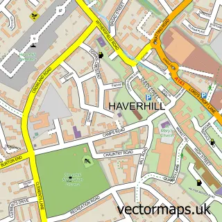
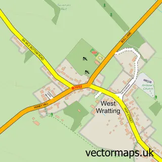
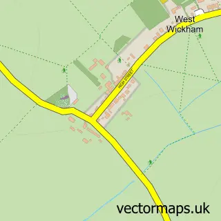
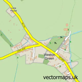
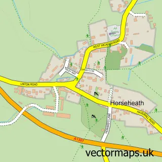
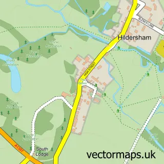
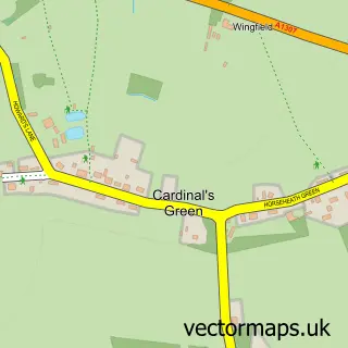
Nearby street map samples around Balsham

More street maps in Cambridgeshire
750 metre map area coverage
Boundary, postcode and point of interest information for the 750m x 750m rectangle centred on this sample map.
Boundaries containing map centre
Constituency: South Cambridgeshire Co Const
County: Cambridgeshire County
District: South Cambridgeshire District
Icb: NHS Central East ICB
Parish: Balsham CP
Police Force: cambridgeshire
Postcode District: CB21
Postcode Sector: CB21 4
Ward: Balsham Ward
Nearby boundaries intersecting sample
No additional intersecting boundaries found.
Postcode coverage
POI category counts
Pub: 4
Church Cathedral: 3
Community Services Non Profits: 2
Massage Therapy: 2
Scout Hall: 2
Building Supply Store: 1
Caterer: 1
Coffee Shop: 1
Currency Exchange: 1
Dog Walkers: 1
Sample points of interest
- Glazing Refurbishment
- The TeaPod
- Balsham Church Institute
- Holy Trinity Church
- The Church of the Holy Trinity, Balsham, Cambridgeshire
- The Old Butchers
- Cambridgeshire Association for Local History & Community Achive Network
- Zambia Orphans Aid UK - ZOA-UK
- Post Office Travel Money
- My Contented Pet
- The Meadow Primary School
- Western Union
Create a larger editable map of Balsham
This sample shows only a 750 metre area. To create a larger map of Balsham, use our map builder to choose your own coverage area, add titles and download editable SVG, PDF and PNG files.
Create a custom map of Balsham