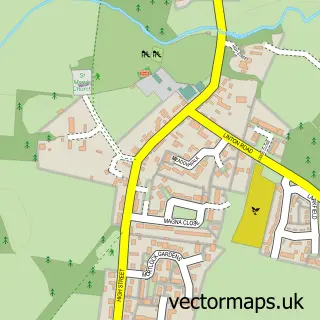
This Linton street map is a detailed vector street map covering a 750m x 750m area. Select a larger area to create and download your own vector street map of Linton.
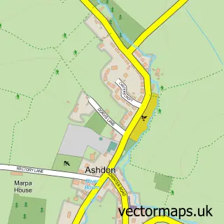
The 750-metre map sample for Linton covers 537 mapped buildings and approximately 15.6 km of road detail, of which 35 named roads are named. The immediate area includes 1 school and 1 MOT station within 2 miles. The wider area around Linton features 1 tourism point of interest. To create a larger or custom map of Linton, the map builder lets you define your own coverage area and download editable SVG, PDF and PNG files.
Create a larger editable map of Linton
Choose any area you need and generate a high-quality vector map instantly. Perfect for print, planning, design, business and personal use.

This Linton street map in Cambridgeshire is available as downloadable SVG, PDF and PNG map files, or as a printed map for planning, business, display, education, local information and design work. You can also create a larger custom map area using the map selector.
What this Linton map sample shows
Linton lies within Linton Cp parish, part of Linton ward in the South Cambridgeshire District local authority area. The postcode geography for this area includes the CB postcode area, the CB21 postcode district and the CB21 4 postcode sector. Residents fall under the Nhs Cambridgeshire And Peterborough Integrated Care Board for NHS services.
Local features near Linton
Within 2 milesAmenities and services in and around Linton.
Administrative and postcode information for Linton
Linton lies within Linton Cp parish, part of Linton ward in the South Cambridgeshire District local authority area. The postcode geography for this area includes the CB postcode area, the CB21 postcode district and the CB21 4 postcode sector. Residents fall under the Nhs Cambridgeshire And Peterborough Integrated Care Board for NHS services.
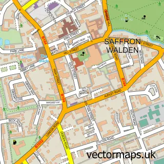
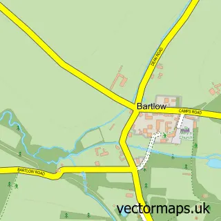
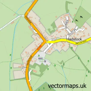
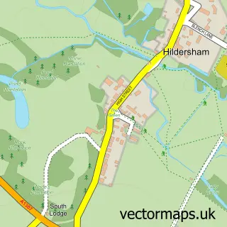
Nearby street map samples around Linton

More street maps in Cambridgeshire
750 metre map area coverage
Boundary, postcode and point of interest information for the 750m x 750m rectangle centred on this sample map.
Boundaries containing map centre
Constituency: South Cambridgeshire Co Const
County: Cambridgeshire County
District: South Cambridgeshire District
Icb: NHS Central East ICB
Parish: Linton CP
Police Force: cambridgeshire
Postcode District: CB21
Postcode Sector: CB21 4
Ward: Linton Ward
Nearby boundaries intersecting sample
No additional intersecting boundaries found.
Postcode coverage
POI category counts
Building Supply Store: 2
Fire Department: 2
Indian Restaurant: 2
Preschool: 2
Accountant: 1
Alternative Medicine: 1
Arts And Entertainment: 1
Beauty Salon: 1
British Restaurant: 1
Car Dealer: 1
Sample points of interest
- Trafalgar Accounting
- Linton Complementary Health Centre
- Orchestrated Productions
- You Beauty Cambridge
- Hops & Tails
- Outdoor Control Fencing and Garden Services
- Serenity Garden Maintenance Service
- SQ Car Sales
- ProClean
- Alexander Smith - Mobile Chiropractor
- Linton Free Church
- October Systems
Create a larger editable map of Linton
This sample shows only a 750 metre area. To create a larger map of Linton, use our map builder to choose your own coverage area, add titles and download editable SVG, PDF and PNG files.
Create a custom map of Linton