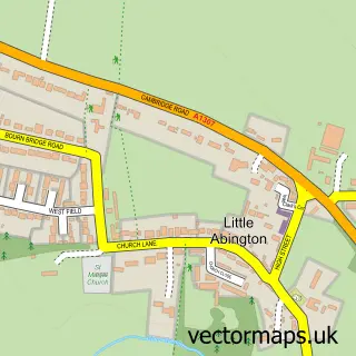
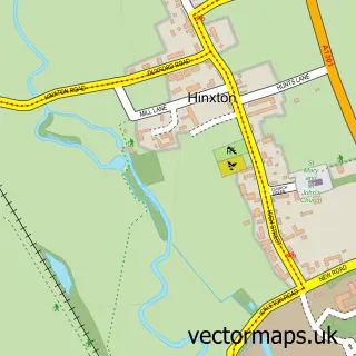
This Great Abington street map is a detailed vector street map covering a 750m x 750m area. Select a larger area to create and download your own vector street map of Great Abington.
The 750-metre map sample for Great Abington covers 223 mapped buildings and approximately 6.6 km of road detail, of which 8 named roads are named. The immediate area includes 1 school, 1 pub and 3 MOT stations within 2 miles. The wider area around Great Abington features 1 tourism point of interest and 2 food and drink venues. To create a larger or custom map of Great Abington, the map builder lets you define your own coverage area and download editable SVG, PDF and PNG files.
Create a larger editable map of Great Abington
Choose any area you need and generate a high-quality vector map instantly. Perfect for print, planning, design, business and personal use.

This Great Abington street map in Cambridgeshire is available as downloadable SVG, PDF and PNG map files, or as a printed map for planning, business, display, education, local information and design work. You can also create a larger custom map area using the map selector.
What this Great Abington map sample shows
Great Abington lies within Great Abington Cp parish, part of Linton ward in the South Cambridgeshire District local authority area. The postcode geography for this area includes the CB postcode area, the CB21 postcode district and the CB21 6 postcode sector. Residents fall under the Nhs Cambridgeshire And Peterborough Integrated Care Board for NHS services.
Local features near Great Abington
Within 2 milesAmenities and services in and around Great Abington.
Administrative and postcode information for Great Abington
Great Abington lies within Great Abington Cp parish, part of Linton ward in the South Cambridgeshire District local authority area. The postcode geography for this area includes the CB postcode area, the CB21 postcode district and the CB21 6 postcode sector. Residents fall under the Nhs Cambridgeshire And Peterborough Integrated Care Board for NHS services.
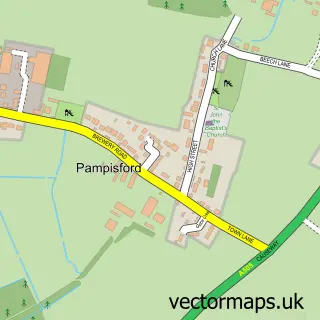
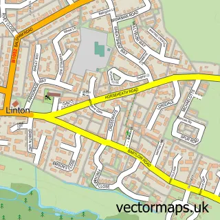
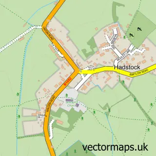
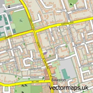
Nearby street map samples around Great Abington

More street maps in Cambridgeshire
750 metre map area coverage
Boundary, postcode and point of interest information for the 750m x 750m rectangle centred on this sample map.
Boundaries containing map centre
Constituency: South Cambridgeshire Co Const
County: Cambridgeshire County
District: South Cambridgeshire District
Icb: NHS Central East ICB
Parish: Great Abington CP
Police Force: cambridgeshire
Postcode District: CB21
Postcode Sector: CB21 6
Ward: Linton Ward
Nearby boundaries intersecting sample
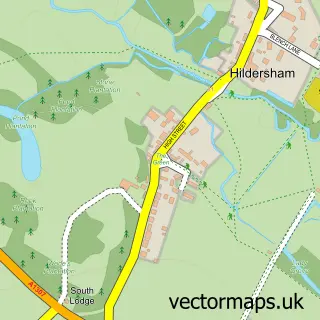
Parish: Hildersham CP, Little Abington CP
Postcode coverage
POI category counts
Hair Salon: 3
Business Management Services: 2
Grocery Store: 2
Alternative Medicine: 1
Anglican Church: 1
Beauty And Spa: 1
Building Supply Store: 1
Church Cathedral: 1
Coffee Shop: 1
Convenience Store: 1
Sample points of interest
- Hypnotherapy Success
- St Mary the Virgin, Great Abington
- Re-Treat
- BNB Property Services
- Abington Post Office
- SPAR - Abington Stores & Post Office
- St Mary's Church
- Rainbows Abington
- Abington Stores
- Post Office Travel Money
- Aspire Dancesport Adult Classes
- Great Abington Primary School
Create a larger editable map of Great Abington
This sample shows only a 750 metre area. To create a larger map of Great Abington, use our map builder to choose your own coverage area, add titles and download editable SVG, PDF and PNG files.
Create a custom map of Great Abington