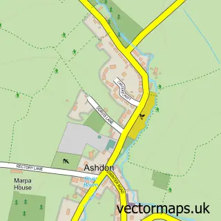
This Hadstock street map is a detailed vector street map covering a 750m x 750m area. Select a larger area to create and download your own vector street map of Hadstock.
The 750-metre map sample for Hadstock covers 150 mapped buildings and approximately 7.6 km of road detail, of which 9 named roads are named. The immediate area includes 1 MOT station within 2 miles. To create a larger or custom map of Hadstock, the map builder lets you define your own coverage area and download editable SVG, PDF and PNG files.
Create a larger editable map of Hadstock
Choose any area you need and generate a high-quality vector map instantly. Perfect for print, planning, design, business and personal use.

This Hadstock street map in Essex is available as downloadable SVG, PDF and PNG map files, or as a printed map for planning, business, display, education, local information and design work. You can also create a larger custom map area using the map selector.
What this Hadstock map sample shows
Hadstock lies within Hadstock Cp parish, part of Ashdon ward in the Uttlesford District local authority area. The postcode geography for this area includes the CB postcode area, the CB21 postcode district and the CB21 4 postcode sector. Residents fall under the Nhs Hertfordshire And West Essex Integrated Care Board for NHS services.
Local features near Hadstock
Within 2 milesAmenities and services in and around Hadstock.
Administrative and postcode information for Hadstock
Hadstock lies within Hadstock Cp parish, part of Ashdon ward in the Uttlesford District local authority area. The postcode geography for this area includes the CB postcode area, the CB21 postcode district and the CB21 4 postcode sector. Residents fall under the Nhs Hertfordshire And West Essex Integrated Care Board for NHS services.
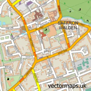
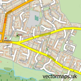
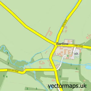
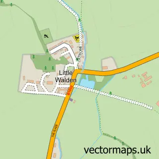
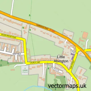
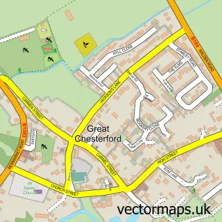
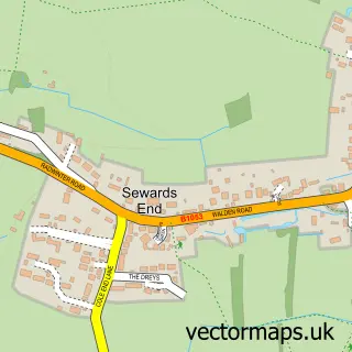
Nearby street map samples around Hadstock

More street maps in Essex
750 metre map area coverage
Boundary, postcode and point of interest information for the 750m x 750m rectangle centred on this sample map.
Boundaries containing map centre
Constituency: North West Essex Co Const
County: Essex County
District: Uttlesford District
Icb: NHS Central East ICB
Parish: Hadstock CP
Police Force: essex
Postcode District: CB21
Postcode Sector: CB21 4
Ward: Ashdon Ward
Nearby boundaries intersecting sample
No additional intersecting boundaries found.
Postcode coverage
POI category counts
Accountant: 1
Anglican Church: 1
Antique Store: 1
Building Supply Store: 1
Furniture Assembly: 1
Hvac Services: 1
Medical Supply: 1
Performing Arts: 1
Retail: 1
Shopping: 1
Sample points of interest
- ClearTax & Accounting Ltd.
- Hadstock: St Botolph
- Rural Magpie Antiques & Vintage Fairs
- Jacq & Wills Landscapes
- Uticolor Cambridge Ltd
- Chameleon Car Body Repairs
- Three Counties Mobility
- Brian Farley Professional Pianist
- Millie's Petcarers
- Scoots and Soul - Lambretta Seats and Scooter Products
- Nuthampstead Airfield Associates Limited
- Designer Drapes
Create a larger editable map of Hadstock
This sample shows only a 750 metre area. To create a larger map of Hadstock, use our map builder to choose your own coverage area, add titles and download editable SVG, PDF and PNG files.
Create a custom map of Hadstock