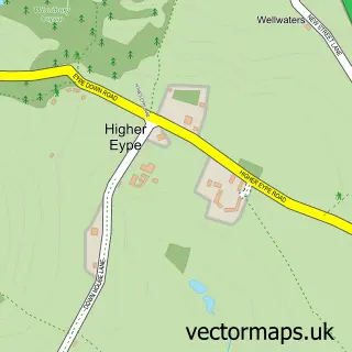
This Whitchurch Canonicorum street map is a detailed vector street map covering a 750m x 750m area. Select a larger area to create and download your own vector street map of Whitchurch Canonicorum.
The 750-metre map sample for Whitchurch Canonicorum covers 105 mapped buildings and approximately 8.9 km of road detail, of which 2 named roads are named. The wider area around Whitchurch Canonicorum features 1 tourism point of interest and 6 campsites within 2 miles. To create a larger or custom map of Whitchurch Canonicorum, the map builder lets you define your own coverage area and download editable SVG, PDF and PNG files.
Create a larger editable map of Whitchurch Canonicorum
Choose any area you need and generate a high-quality vector map instantly. Perfect for print, planning, design, business and personal use.

This Whitchurch Canonicorum street map in Dorset is available as downloadable SVG, PDF and PNG map files, or as a printed map for planning, business, display, education, local information and design work. You can also create a larger custom map area using the map selector.
What this Whitchurch Canonicorum map sample shows
Whitchurch Canonicorum lies within Whitchurch Canonicorum Cp parish, part of Marshwood Vale ward in the Dorset local authority area. The postcode geography for this area includes the DT postcode area, the DT6 postcode district and the DT6 6 postcode sector. Residents fall under the Nhs Dorset Integrated Care Board for NHS services.
Local features near Whitchurch Canonicorum
Within 2 milesAmenities and services in and around Whitchurch Canonicorum.
Administrative and postcode information for Whitchurch Canonicorum
The local authority covering Whitchurch Canonicorum is Dorset, within the county of Dorset. The settlement lies within Marshwood Vale ward and Whitchurch Canonicorum Cp civil parish. The DT6 postcode district and DT6 6 postcode sector serve the immediate area. NHS provision in the area is delivered through Dorset County Hospital Nhs Foundation Trust.
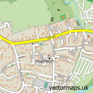
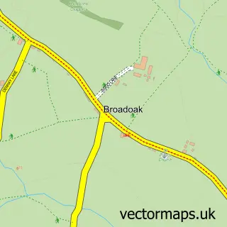
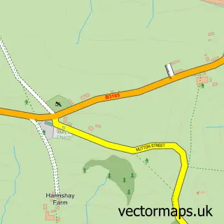
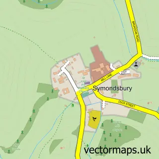
Nearby street map samples around Whitchurch Canonicorum

More street maps in Dorset
750 metre map area coverage
Boundary, postcode and point of interest information for the 750m x 750m rectangle centred on this sample map.
Boundaries containing map centre
Constituency: West Dorset Co Const
District: Dorset
Icb: NHS Dorset ICB
Parish: Whitchurch Canonicorum CP
Police Force: dorset
Postcode District: DT6
Postcode Sector: DT6 6
Ward: Marshwood Vale Ward
Nearby boundaries intersecting sample
No additional intersecting boundaries found.
Postcode coverage
POI category counts
Anglican Church: 2
Building Supply Store: 2
Preschool: 2
Beauty And Spa: 1
Beauty Salon: 1
Campground: 1
Holiday Rental Home: 1
Lodge: 1
Pet Boarding: 1
Pet Store: 1
Sample points of interest
- Church of St Candida and Holy Cross
- Whitchurch Canonicorum: St Candida and Holy Cross
- Bonhays Meditation and Retreats
- The Chop Shop, Whitchurch
- C N Richards
- Tony Coe Plumbing Services
- Hobby Farm Holiday’s
- Berehayes Holiday Cottages
- Bonhays Lotus Nei Gong
- B V & S M Johnson
- Petsware
- Whitchurch Pre-School
Create a larger editable map of Whitchurch Canonicorum
This sample shows only a 750 metre area. To create a larger map of Whitchurch Canonicorum, use our map builder to choose your own coverage area, add titles and download editable SVG, PDF and PNG files.
Create a custom map of Whitchurch Canonicorum