This Lyme Regis street map is a detailed vector street map covering a 750m x 750m area. Select a larger area to create and download your own vector street map of Lyme Regis.
The 750-metre map sample for Lyme Regis covers 339 mapped buildings and approximately 9.8 km of road detail, of which 27 named roads are named. The immediate area includes 1 GP surgery within 2 miles, 7 pubs and 2 MOT stations within 2 miles. The wider area around Lyme Regis features 9 tourism points of interest, 41 food and drink venues and 18 hotels. To create a larger or custom map of Lyme Regis, the map builder lets you define your own coverage area and download editable SVG, PDF and PNG files.
Create a larger editable map of Lyme Regis
Choose any area you need and generate a high-quality vector map instantly. Perfect for print, planning, design, business and personal use.

This Lyme Regis street map in Dorset is available as downloadable SVG, PDF and PNG map files, or as a printed map for planning, business, display, education, local information and design work. You can also create a larger custom map area using the map selector.
What this Lyme Regis map sample shows
Lyme Regis lies within Lyme Regis Cp parish, part of Lyme & Charmouth ward in the Dorset local authority area. The postcode geography for this area includes the DT postcode area, the DT7 postcode district and the DT7 3 postcode sector. Residents fall under the Nhs Dorset Integrated Care Board for NHS services.
Local features near Lyme Regis
Within 2 milesAmenities and services in and around Lyme Regis.
Administrative and postcode information for Lyme Regis
Lyme Regis lies within Lyme Regis Cp parish, part of Lyme & Charmouth ward in the Dorset local authority area. The postcode geography for this area includes the DT postcode area, the DT7 postcode district and the DT7 3 postcode sector. Residents fall under the Nhs Dorset Integrated Care Board for NHS services.
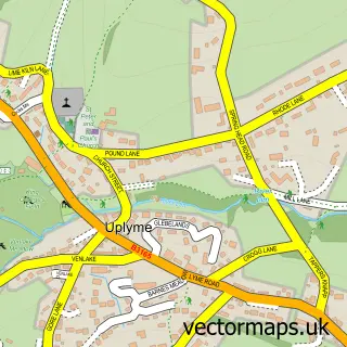
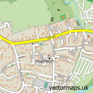
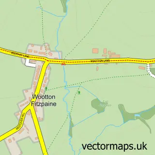
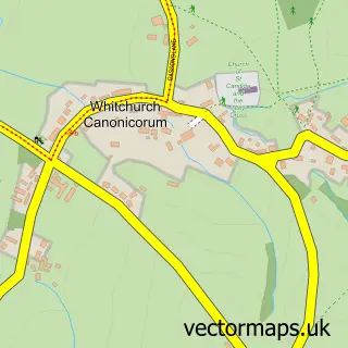
Nearby street map samples around Lyme Regis

More street maps in Dorset
750 metre map area coverage
Boundary, postcode and point of interest information for the 750m x 750m rectangle centred on this sample map.
Boundaries containing map centre
Constituency: West Dorset Co Const
District: Dorset
Icb: NHS Dorset ICB
Parish: Lyme Regis CP
Police Force: dorset
Postcode District: DT7
Postcode Sector: DT7 3
Ward: Lyme & Charmouth Ward
Nearby boundaries intersecting sample
No additional intersecting boundaries found.
Postcode coverage
POI category counts
Restaurant: 19
Hotel: 18
Bed And Breakfast: 16
Clothing Store: 13
Flowers And Gifts Shop: 12
Cafe: 11
Pub: 7
Art Gallery: 6
Bakery: 6
Cottage: 6
Sample points of interest
- Dragonfly
- Lymenet Computer Training
- Lyme Regis: St Michael the Archangel
- Lyme Regis Antique & Craft Centre
- Inside Out Your Space
- Porter Haworth
- BizleyArt
- Coombe Street Gallery
- Coombe Street Gallery
- Studio 19
- The Courtyard Gallery, Town Mill, Mill Lane, Lyme Regis, Dorset, DT7 3PU
- The Mermaid Shop
Create a larger editable map of Lyme Regis
This sample shows only a 750 metre area. To create a larger map of Lyme Regis, use our map builder to choose your own coverage area, add titles and download editable SVG, PDF and PNG files.
Create a custom map of Lyme Regis