This Uplyme street map is a detailed vector street map covering a 750m x 750m area. Select a larger area to create and download your own vector street map of Uplyme.
The 750-metre map sample for Uplyme covers 304 mapped buildings and approximately 14.7 km of road detail, of which 17 named roads are named. The immediate area includes 1 school, 1 GP surgery within 2 miles, 1 pub and 2 MOT stations within 2 miles. The wider area around Uplyme features 2 tourism points of interest, 1 food and drink venue and 7 campsites within 2 miles. To create a larger or custom map of Uplyme, the map builder lets you define your own coverage area and download editable SVG, PDF and PNG files.
Create a larger editable map of Uplyme
Choose any area you need and generate a high-quality vector map instantly. Perfect for print, planning, design, business and personal use.

This Uplyme street map in Devon is available as downloadable SVG, PDF and PNG map files, or as a printed map for planning, business, display, education, local information and design work. You can also create a larger custom map area using the map selector.
What this Uplyme map sample shows
Uplyme lies within Uplyme Cp parish, part of Trinity ward in the East Devon District local authority area. The postcode geography for this area includes the DT postcode area, the DT7 postcode district and the DT7 3 postcode sector. Residents fall under the Nhs Devon Integrated Care Board for NHS services.
Local features near Uplyme
Within 2 milesAmenities and services in and around Uplyme.
Administrative and postcode information for Uplyme
The local authority covering Uplyme is East Devon District, within the county of Devon. The settlement lies within Trinity ward and Uplyme Cp civil parish. The DT7 postcode district and DT7 3 postcode sector serve the immediate area. NHS provision in the area is delivered through Royal Devon University Healthcare Nhs Foundation Trust.
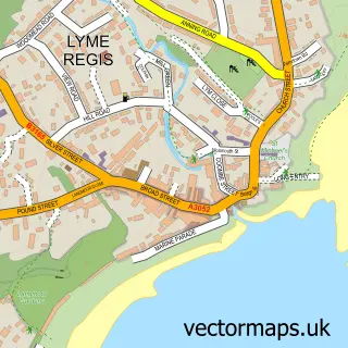
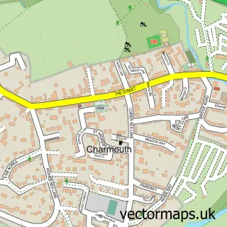
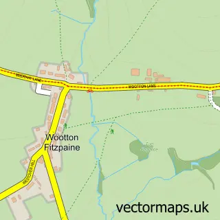
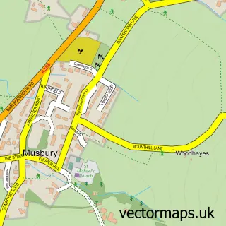
Nearby street map samples around Uplyme

More street maps in Devon
750 metre map area coverage
Boundary, postcode and point of interest information for the 750m x 750m rectangle centred on this sample map.
Boundaries containing map centre
Constituency: Honiton and Sidmouth Co Const
County: Devon County
District: East Devon District
Icb: NHS Devon ICB
Parish: Uplyme CP
Police Force: devon and cornwall
Postcode District: DT7
Postcode Sector: DT7 3
Ward: Trinity Ward
Nearby boundaries intersecting sample
No additional intersecting boundaries found.
Postcode coverage
POI category counts
Church Cathedral: 2
Gym: 2
Sports Club And League: 2
Anglican Church: 1
Attractions And Activities: 1
Automotive Repair: 1
Beauty And Spa: 1
Beer Wine And Spirits: 1
Campground: 1
Community Center: 1
Sample points of interest
- Uplyme Church: St. Peter and St. Paul
- Uplyme & Lyme Regis Horticultural Society
- Dent Devils Dorset - Steve Prendeville
- Instant Calma Japanese Head Spa
- Lyme Regis Brewery
- Hook Farm Caravan & Camping Park
- St Peter and St Pauls
- Uplyme Church
- Uplyme Village Hall
- Uplyme Filling Station
- S J Barton Electrical
- Mrs Ethelston's Primary School
Create a larger editable map of Uplyme
This sample shows only a 750 metre area. To create a larger map of Uplyme, use our map builder to choose your own coverage area, add titles and download editable SVG, PDF and PNG files.
Create a custom map of Uplyme