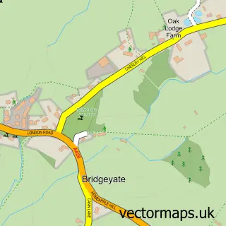
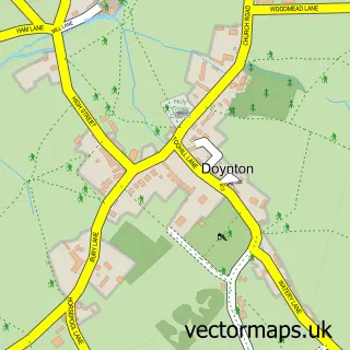
This Wick street map is a detailed vector street map covering a 750m x 750m area. Select a larger area to create and download your own vector street map of Wick.
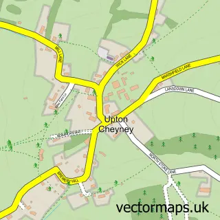
The 750-metre map sample for Wick covers 239 mapped buildings and approximately 10.4 km of road detail, of which 14 named roads are named. The immediate area includes 2 GP surgeries within 2 miles, 1 pub and 4 MOT stations within 2 miles. The wider area around Wick features 3 tourism points of interest, 1 food and drink venue and 2 campsites within 2 miles. To create a larger or custom map of Wick, the map builder lets you define your own coverage area and download editable SVG, PDF and PNG files.
Create a larger editable map of Wick
Choose any area you need and generate a high-quality vector map instantly. Perfect for print, planning, design, business and personal use.

This Wick street map in Gloucestershire is available as downloadable SVG, PDF and PNG map files, or as a printed map for planning, business, display, education, local information and design work. You can also create a larger custom map area using the map selector.
What this Wick map sample shows
Wick lies within Wick And Abson Cp parish, part of Boyd Valley ward in the South Gloucestershire local authority area. The postcode geography for this area includes the BS postcode area, the BS30 postcode district and the BS30 5 postcode sector. Residents fall under the Nhs Bristol, North Somerset And South Gloucestershire Integrated Care Board for NHS services.
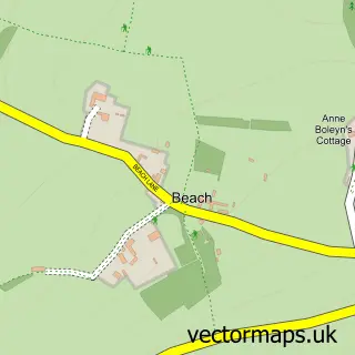
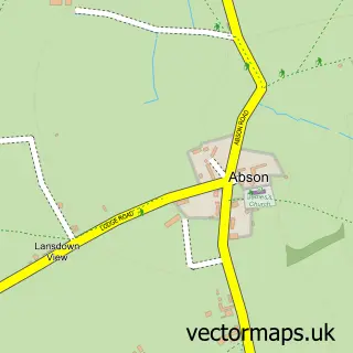
Local features near Wick
Within 2 milesAmenities and services in and around Wick.
Administrative and postcode information for Wick
Wick lies within Wick And Abson Cp parish, part of Boyd Valley ward in the South Gloucestershire local authority area. The postcode geography for this area includes the BS postcode area, the BS30 postcode district and the BS30 5 postcode sector. Residents fall under the Nhs Bristol, North Somerset And South Gloucestershire Integrated Care Board for NHS services.
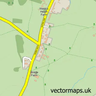
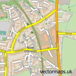
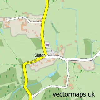
Nearby street map samples around Wick

More street maps in Gloucestershire
750 metre map area coverage
Boundary, postcode and point of interest information for the 750m x 750m rectangle centred on this sample map.
Boundaries containing map centre
Constituency: Thornbury and Yate Co Const
District: South Gloucestershire
Icb: NHS Bristol North Somerset and South Gloucestershire ICB
Parish: Wick and Abson CP
Police Force: avon and somerset
Postcode District: BS30
Postcode Sector: BS30 5
Ward: Boyd Valley Ward
Nearby boundaries intersecting sample
No additional intersecting boundaries found.
Postcode coverage
POI category counts
Beauty Salon: 3
Atms: 2
Courier And Delivery Services: 2
Nature Reserve: 2
Park: 2
Prenatal Perinatal Care: 2
Business Management Services: 1
Caterer: 1
Chimney Sweep: 1
Church Cathedral: 1
Sample points of interest
- Premier Wick Store
- Premier, Wick
- Carly Louise Bio Sculpture nails
- Love Beauty at Pelo's
- Pelo's Hairdressers
- Post Office-Wick
- Price Iveson
- West End Stone Supplies
- Boyd Valley Benefice
- Wick & Abson Village Hall
- Jones Day & Night
- Evri ParcelShop
Create a larger editable map of Wick
This sample shows only a 750 metre area. To create a larger map of Wick, use our map builder to choose your own coverage area, add titles and download editable SVG, PDF and PNG files.
Create a custom map of Wick