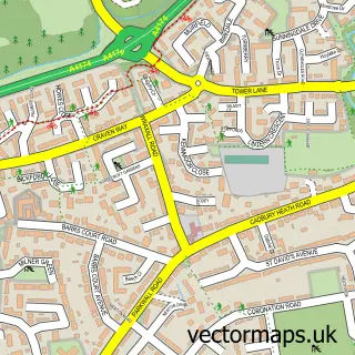
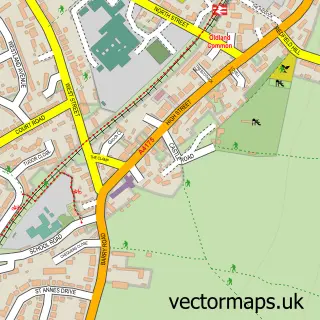
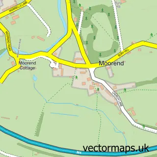
This Kingswood street map is a detailed vector street map covering a 750m x 750m area. Select a larger area to create and download your own vector street map of Kingswood.
The 750-metre map sample for Kingswood covers 423 mapped buildings and approximately 21.9 km of road detail, of which 55 named roads are named. The immediate area includes 1 GP surgery, with 11 within 2 miles, 7 pubs and 4 MOT stations, with 52 within 2 miles. The wider area around Kingswood features 6 tourism points of interest and 22 food and drink venues. To create a larger or custom map of Kingswood, the map builder lets you define your own coverage area and download editable SVG, PDF and PNG files.
Create a larger editable map of Kingswood
Choose any area you need and generate a high-quality vector map instantly. Perfect for print, planning, design, business and personal use.

This Kingswood street map in Gloucestershire is available as downloadable SVG, PDF and PNG map files, or as a printed map for planning, business, display, education, local information and design work. You can also create a larger custom map area using the map selector.
What this Kingswood map sample shows
Kingswood lies within South Gloucestershire parish, part of Kingswood ward in the South Gloucestershire local authority area. The postcode geography for this area includes the BS postcode area, the BS15 postcode district and the BS15 4 postcode sector. Residents fall under the Nhs Bristol, North Somerset And South Gloucestershire Integrated Care Board for NHS services.
Local features near Kingswood
Within 2 milesAmenities and services in and around Kingswood.
Administrative and postcode information for Kingswood
The local authority covering Kingswood is South Gloucestershire, within the county of Gloucestershire. The settlement lies within Kingswood ward and South Gloucestershire civil parish. The BS15 postcode district and BS15 4 postcode sector serve the immediate area. NHS provision in the area is delivered through North Bristol Nhs Trust.
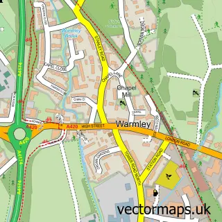
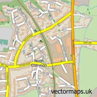
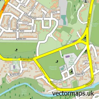
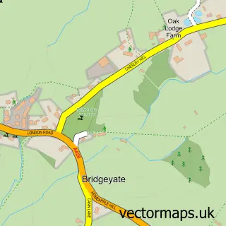
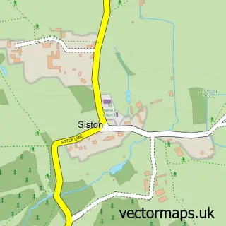
Nearby street map samples around Kingswood

More street maps in Gloucestershire
750 metre map area coverage
Boundary, postcode and point of interest information for the 750m x 750m rectangle centred on this sample map.
Boundaries containing map centre
Constituency: Bristol North East Boro Const
District: South Gloucestershire
Icb: NHS Bristol North Somerset and South Gloucestershire ICB
Parish: Kingswood CP
Police Force: avon and somerset
Postcode District: BS15
Postcode Sector: BS15 8
Ward: Kingswood Ward
Nearby boundaries intersecting sample
Constituency: Bristol East Boro Const
District: City of Bristol (B)
Postcode Sector: BS15 1, BS15 4, BS15 9
Ward: St. George Central Ward
Postcode coverage
POI category counts
Real Estate Agent: 10
Beauty Salon: 8
Automotive Repair: 7
Bank Credit Union: 7
Cafe: 7
Hair Salon: 7
Pub: 7
Dentist: 6
Gift Shop: 6
Professional Services: 6
Sample points of interest
- Evans & Partners Chartered Accountants
- Raymarsh Ford
- Its Leisure Ltd
- Qi Acupuncture
- Connexions
- Casino Slots
- St Peter's Hospice Charity Shop
- Yarn and Yardage
- Kilvie House
- Cashpoint® 102 Regent Street
- Kingswood Bristol
- Trinity Food Garden
Create a larger editable map of Kingswood
This sample shows only a 750 metre area. To create a larger map of Kingswood, use our map builder to choose your own coverage area, add titles and download editable SVG, PDF and PNG files.
Create a custom map of Kingswood