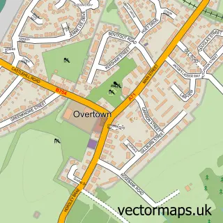
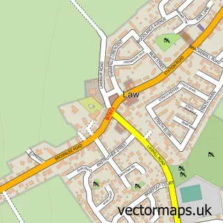
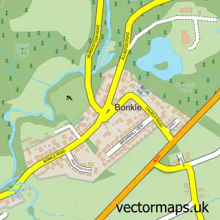
This Wishaw street map is a detailed vector street map covering a 750m x 750m area. Select a larger area to create and download your own vector street map of Wishaw.
The 750-metre map sample for Wishaw covers 463 mapped buildings and approximately 22.7 km of road detail, of which 44 named roads are named. The immediate area includes 4 GP surgeries, with 5 within 2 miles, 5 pubs and 1 MOT station, with 12 within 2 miles. The wider area around Wishaw features 3 tourism points of interest and 20 food and drink venues. To create a larger or custom map of Wishaw, the map builder lets you define your own coverage area and download editable SVG, PDF and PNG files.
Create a larger editable map of Wishaw
Choose any area you need and generate a high-quality vector map instantly. Perfect for print, planning, design, business and personal use.

This Wishaw street map in Lanarkshire is available as downloadable SVG, PDF and PNG map files, or as a printed map for planning, business, display, education, local information and design work. You can also create a larger custom map area using the map selector.
What this Wishaw map sample shows
Wishaw lies within North Lanarkshire parish, part of Wishaw ward in the North Lanarkshire local authority area. The postcode geography for this area includes the ML postcode area, the ML2 postcode district and the ML2 7 postcode sector. Residents fall under the Lanarkshire for NHS services.
Local features near Wishaw
Within 2 milesAmenities and services in and around Wishaw.
Administrative and postcode information for Wishaw
Wishaw lies within North Lanarkshire parish, part of Wishaw ward in the North Lanarkshire local authority area. The postcode geography for this area includes the ML postcode area, the ML2 postcode district and the ML2 7 postcode sector. Residents fall under the Lanarkshire for NHS services.
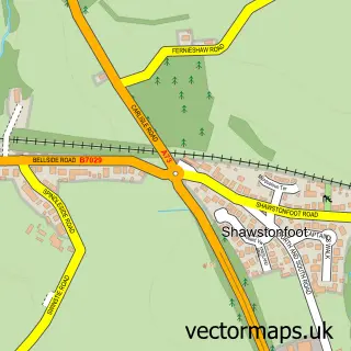
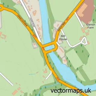
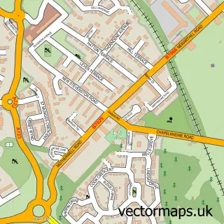
Nearby street map samples around Wishaw

More street maps in Lanarkshire
750 metre map area coverage
Boundary, postcode and point of interest information for the 750m x 750m rectangle centred on this sample map.
Boundaries containing map centre
Constituency: Motherwell, Wishaw and Carluke Co Const
District: North Lanarkshire
Icb: Lanarkshire
Postcode District: ML2
Postcode Sector: ML2 7
Ward: Wishaw Ward
Nearby boundaries intersecting sample
Postcode Sector: ML2 0, ML2 8
Ward: Motherwell South East and Ravenscraig Ward
Postcode coverage
POI category counts
Beauty Salon: 25
Hair Salon: 11
Barber: 9
Pharmacy: 9
Real Estate Agent: 8
Bar: 7
Flowers And Gifts Shop: 7
Gym: 7
Beauty And Spa: 6
Clothing Store: 6
Sample points of interest
- Hypnotherapy Lanarkshire
- Irene Smith
- Penumbra
- Dryburgh Antiques
- The Stappit Doocot
- Kitchener Cars and Coachworks
- Soapy Sensations
- Seath Weir Autos
- CarTec
- Hallidays Garage
- Hill Street Garage
- Homestyle Wishaw Ltd
Create a larger editable map of Wishaw
This sample shows only a 750 metre area. To create a larger map of Wishaw, use our map builder to choose your own coverage area, add titles and download editable SVG, PDF and PNG files.
Create a custom map of Wishaw