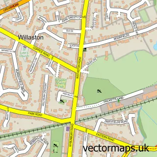
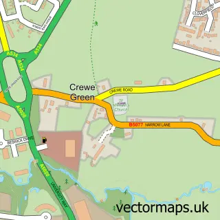
This Wistaston street map is a detailed vector street map covering a 750m x 750m area. Select a larger area to create and download your own vector street map of Wistaston.
The 750-metre map sample for Wistaston covers 511 mapped buildings and approximately 12.3 km of road detail, of which 27 named roads are named. The immediate area includes 1 school, 7 GP surgeries within 2 miles and 21 MOT stations within 2 miles. To create a larger or custom map of Wistaston, the map builder lets you define your own coverage area and download editable SVG, PDF and PNG files.
Create a larger editable map of Wistaston
Choose any area you need and generate a high-quality vector map instantly. Perfect for print, planning, design, business and personal use.

This Wistaston street map in Cheshire is available as downloadable SVG, PDF and PNG map files, or as a printed map for planning, business, display, education, local information and design work. You can also create a larger custom map area using the map selector.
What this Wistaston map sample shows
Wistaston lies within Wistaston Cp parish, part of Wistaston ward in the Cheshire East (B) local authority area. The postcode geography for this area includes the CW postcode area, the CW2 postcode district and the CW2 6 postcode sector. Residents fall under the Nhs Cheshire And Merseyside Integrated Care Board for NHS services.
Local features near Wistaston
Within 2 milesAmenities and services in and around Wistaston.
Administrative and postcode information for Wistaston
The local authority covering Wistaston is Cheshire East (B), within the county of Cheshire. The settlement lies within Wistaston ward and Wistaston Cp civil parish. The CW2 postcode district and CW2 6 postcode sector serve the immediate area. NHS provision in the area is delivered through Mid Cheshire Hospitals Nhs Foundation Trust.
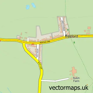
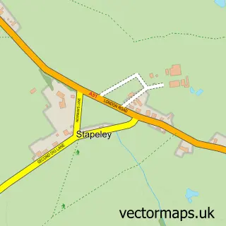
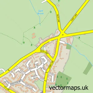
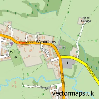
Nearby street map samples around Wistaston

More street maps in Cheshire
750 metre map area coverage
Boundary, postcode and point of interest information for the 750m x 750m rectangle centred on this sample map.
Boundaries containing map centre
Constituency: Crewe and Nantwich Co Const
District: Cheshire East (B)
Icb: NHS Cheshire and Merseyside ICB
Parish: Wistaston CP
Police Force: cheshire
Postcode District: CW2
Postcode Sector: CW2 8
Ward: Wistaston Ward
Nearby boundaries intersecting sample
Postcode Sector: CW2 6
Postcode coverage
POI category counts
Convenience Store: 4
Beauty Salon: 3
Church Cathedral: 3
Elementary School: 3
Anglican Church: 2
Plumbing: 2
Professional Services: 2
Advertising Agency: 1
Barber: 1
Community Center: 1
Sample points of interest
- The Link Magazines
- Church of St Mary the Virgin, Wistaston
- St Mary's Wistaston
- SK barbers
- Beauty By Lily Dee
- Beauty central salon
- Serenity Beauty FS
- Bethel Reformed Evangelical Church, Crewe
- RCCG Hope Centre
- St. Mary's Church
- Wistaston Memorial Hall & Community Centre
- S B Griffiths
Create a larger editable map of Wistaston
This sample shows only a 750 metre area. To create a larger map of Wistaston, use our map builder to choose your own coverage area, add titles and download editable SVG, PDF and PNG files.
Create a custom map of Wistaston