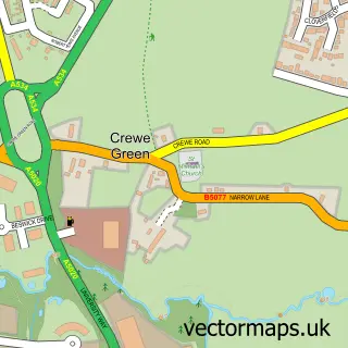
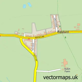
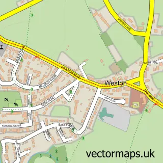
This Crewe street map is a detailed vector street map covering a 750m x 750m area. Select a larger area to create and download your own vector street map of Crewe.
The 750-metre map sample for Crewe covers 211 mapped buildings and approximately 20.5 km of road detail, of which 52 named roads are named. The immediate area includes 2 primary schools and 2 secondary schools, 5 GP surgeries within 2 miles, 13 pubs and 2 MOT stations, with 31 within 2 miles. The wider area around Crewe features 2 tourism points of interest, 37 food and drink venues and 3 hotels. To create a larger or custom map of Crewe, the map builder lets you define your own coverage area and download editable SVG, PDF and PNG files.
Create a larger editable map of Crewe
Choose any area you need and generate a high-quality vector map instantly. Perfect for print, planning, design, business and personal use.

This Crewe street map in Cheshire is available as downloadable SVG, PDF and PNG map files, or as a printed map for planning, business, display, education, local information and design work. You can also create a larger custom map area using the map selector.
What this Crewe map sample shows
Crewe lies within Crewe Cp parish, part of Crewe Central ward in the Cheshire East (B) local authority area. The postcode geography for this area includes the CW postcode area, the CW1 postcode district and the CW1 2 postcode sector. Residents fall under the Nhs Cheshire And Merseyside Integrated Care Board for NHS services.
Local features near Crewe
Within 2 milesAmenities and services in and around Crewe.
Administrative and postcode information for Crewe
Crewe lies within Crewe Cp parish, part of Crewe Central ward in the Cheshire East (B) local authority area. The postcode geography for this area includes the CW postcode area, the CW1 postcode district and the CW1 2 postcode sector. Residents fall under the Nhs Cheshire And Merseyside Integrated Care Board for NHS services.
Nearby street map samples around Crewe

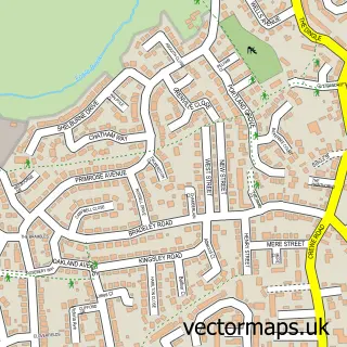
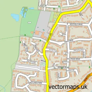
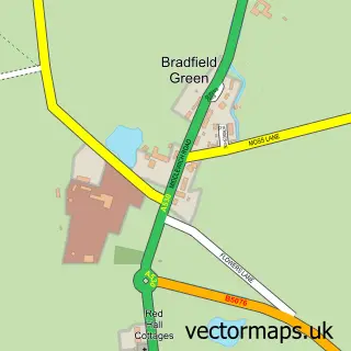
More street maps in Cheshire
750 metre map area coverage
Boundary, postcode and point of interest information for the 750m x 750m rectangle centred on this sample map.
Boundaries containing map centre
Constituency: Crewe and Nantwich Co Const
District: Cheshire East (B)
Icb: NHS Cheshire and Merseyside ICB
Parish: Crewe CP
Police Force: cheshire
Postcode District: CW1
Postcode Sector: CW1 2
Ward: Crewe Central Ward
Nearby boundaries intersecting sample
Postcode District: CW2
Postcode Sector: CW1 3, CW1 4, CW2 7
Ward: Crewe East Ward
Postcode coverage
POI category counts
Pub: 13
Bank Credit Union: 12
Clothing Store: 12
Hair Salon: 10
Cafe: 9
Charity Organization: 9
Coffee Shop: 9
Discount Store: 9
Beauty And Spa: 8
Beauty Salon: 8
Sample points of interest
- Jubilee Gardens
- Oakley Centre
- China Great
- Herbal Way
- Charter Training Services
- Crewe Ambulance Station
- Wimpy
- Quicksilver
- Cancer Research UK
- Hope House Charity Shop
- River & Reef Aquatics
- Phoenix Leisure Park
Create a larger editable map of Crewe
This sample shows only a 750 metre area. To create a larger map of Crewe, use our map builder to choose your own coverage area, add titles and download editable SVG, PDF and PNG files.
Create a custom map of Crewe