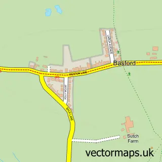
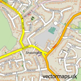
This Weston street map is a detailed vector street map covering a 750m x 750m area. Select a larger area to create and download your own vector street map of Weston.
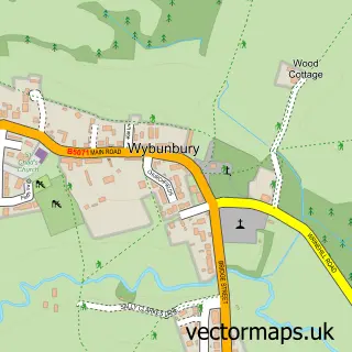
The 750-metre map sample for Weston covers 309 mapped buildings and approximately 9.4 km of road detail, of which 14 named roads are named. The immediate area includes 1 school, 1 pub and 12 MOT stations within 2 miles. The wider area around Weston features 1 food and drink venue. To create a larger or custom map of Weston, the map builder lets you define your own coverage area and download editable SVG, PDF and PNG files.
Create a larger editable map of Weston
Choose any area you need and generate a high-quality vector map instantly. Perfect for print, planning, design, business and personal use.

This Weston street map in Cheshire is available as downloadable SVG, PDF and PNG map files, or as a printed map for planning, business, display, education, local information and design work. You can also create a larger custom map area using the map selector.
What this Weston map sample shows
Weston lies within Weston And Crewe Green Cp parish, part of Haslington ward in the Cheshire East (B) local authority area. The postcode geography for this area includes the CW postcode area, the CW2 postcode district and the CW2 5 postcode sector. Residents fall under the Nhs Cheshire And Merseyside Integrated Care Board for NHS services.
Local features near Weston
Within 2 milesAmenities and services in and around Weston.
Administrative and postcode information for Weston
The local authority covering Weston is Cheshire East (B), within the county of Cheshire. The settlement lies within Haslington ward and Weston And Crewe Green Cp civil parish. The CW2 postcode district and CW2 5 postcode sector serve the immediate area. NHS provision in the area is delivered through Mid Cheshire Hospitals Nhs Foundation Trust.
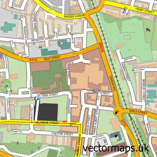
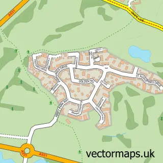
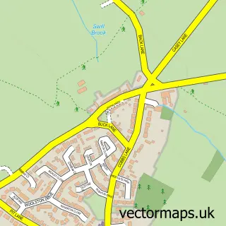
Nearby street map samples around Weston

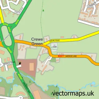
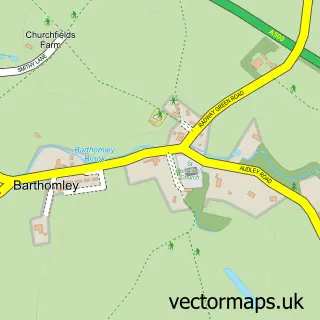
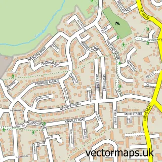
More street maps in Cheshire
750 metre map area coverage
Boundary, postcode and point of interest information for the 750m x 750m rectangle centred on this sample map.
Boundaries containing map centre
Constituency: Crewe and Nantwich Co Const
District: Cheshire East (B)
Icb: NHS Cheshire and Merseyside ICB
Parish: Weston and Crewe Green CP
Police Force: cheshire
Postcode District: CW2
Postcode Sector: CW2 5
Ward: Haslington Ward
Nearby boundaries intersecting sample
No additional intersecting boundaries found.
Postcode coverage
POI category counts
Agricultural Service: 1
Anglican Church: 1
Automotive Services And Repair: 1
Bakery: 1
Carpenter: 1
Elementary School: 1
Food Stand: 1
Landscape Architect: 1
Music School: 1
Nursery And Gardening: 1
Sample points of interest
- WFS
- All Saints, Weston
- Nantwich P C Centre
- Greggs
- Woodcraft
- Weston Village Primary School
- The Weston Biltong Company
- Border Tree Care
- Tala Performance with Kate Cubley
- Baileys Wood Works
- Amanda Balmain Photography
- Crewe Nature Kindergarten
Create a larger editable map of Weston
This sample shows only a 750 metre area. To create a larger map of Weston, use our map builder to choose your own coverage area, add titles and download editable SVG, PDF and PNG files.
Create a custom map of Weston