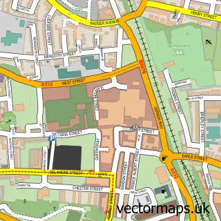
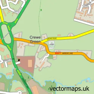
This Wychwood Village street map is a detailed vector street map covering a 750m x 750m area. Select a larger area to create and download your own vector street map of Wychwood Village.
The 750-metre map sample for Wychwood Village covers 168 mapped buildings and approximately 12.0 km of road detail, of which 17 named roads are named. The immediate area includes 2 MOT stations within 2 miles. To create a larger or custom map of Wychwood Village, the map builder lets you define your own coverage area and download editable SVG, PDF and PNG files.
Create a larger editable map of Wychwood Village
Choose any area you need and generate a high-quality vector map instantly. Perfect for print, planning, design, business and personal use.

This Wychwood Village street map in Cheshire is available as downloadable SVG, PDF and PNG map files, or as a printed map for planning, business, display, education, local information and design work. You can also create a larger custom map area using the map selector.
What this Wychwood Village map sample shows
Wychwood Village lies within Weston And Crewe Green Cp parish, part of Haslington ward in the Cheshire East (B) local authority area. The postcode geography for this area includes the CW postcode area, the CW2 postcode district and the CW2 5 postcode sector. Residents fall under the Nhs Cheshire And Merseyside Integrated Care Board for NHS services.
Local features near Wychwood Village
Within 2 milesAmenities and services in and around Wychwood Village.
Administrative and postcode information for Wychwood Village
Wychwood Village lies within Weston And Crewe Green Cp parish, part of Haslington ward in the Cheshire East (B) local authority area. The postcode geography for this area includes the CW postcode area, the CW2 postcode district and the CW2 5 postcode sector. Residents fall under the Nhs Cheshire And Merseyside Integrated Care Board for NHS services.
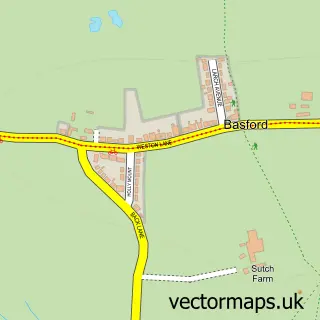
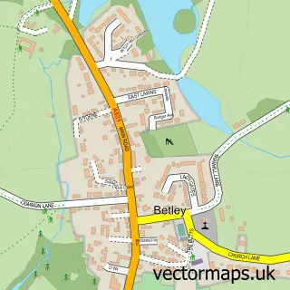
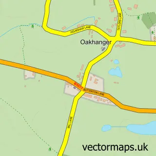
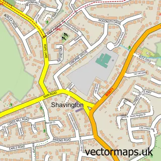
Nearby street map samples around Wychwood Village

More street maps in Cheshire
750 metre map area coverage
Boundary, postcode and point of interest information for the 750m x 750m rectangle centred on this sample map.
Boundaries containing map centre
Constituency: Chester South and Eddisbury Co Const
District: Cheshire East (B)
Icb: NHS Cheshire and Merseyside ICB
Parish: Weston and Crewe Green CP
Police Force: cheshire
Postcode District: CW2
Postcode Sector: CW2 5
Ward: Wybunbury Ward
Nearby boundaries intersecting sample
Constituency: Crewe and Nantwich Co Const
Parish: Hough and Chorlton CP
Ward: Haslington Ward
Postcode coverage
POI category counts
Naturopathic Holistic: 2
Alternative Medicine: 1
Bar: 1
Beauty Salon: 1
Community Center: 1
Day Care Preschool: 1
Home Service: 1
Jewelry Store: 1
Land Surveying: 1
Painting: 1
Sample points of interest
- ReikiCrystalTherapy
- Preferential Drinks
- Emma Jaynes Beauty Boutique
- Wychwood Village Hall
- Stepping Stones Nursery
- Rhino Roller Garage Doors Ltd
- Toria's Trinkets
- W E Fairey
- Crystal Rose Temple
- Karma Hands
- Mark Findler Decorating Services
- Digital Tv Solutions
Create a larger editable map of Wychwood Village
This sample shows only a 750 metre area. To create a larger map of Wychwood Village, use our map builder to choose your own coverage area, add titles and download editable SVG, PDF and PNG files.
Create a custom map of Wychwood Village