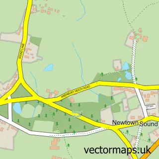
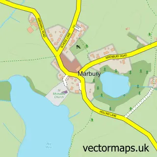
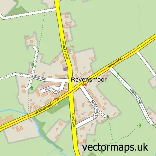
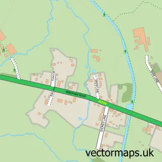
This Wrenbury street map is a detailed vector street map covering a 750m x 750m area. Select a larger area to create and download your own vector street map of Wrenbury.
The 750-metre map sample for Wrenbury covers 231 mapped buildings and approximately 6.6 km of road detail, of which 11 named roads are named. The immediate area includes 1 school, 1 GP surgery and 1 MOT station within 2 miles. The wider area around Wrenbury features 1 food and drink venue. To create a larger or custom map of Wrenbury, the map builder lets you define your own coverage area and download editable SVG, PDF and PNG files.
Create a larger editable map of Wrenbury
Choose any area you need and generate a high-quality vector map instantly. Perfect for print, planning, design, business and personal use.

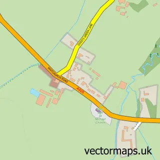
This Wrenbury street map in Cheshire is available as downloadable SVG, PDF and PNG map files, or as a printed map for planning, business, display, education, local information and design work. You can also create a larger custom map area using the map selector.
What this Wrenbury map sample shows
Wrenbury lies within Wrenbury Cum Frith Cp parish, part of Wrenbury ward in the Cheshire East (B) local authority area. The postcode geography for this area includes the CW postcode area, the CW5 postcode district and the CW5 8 postcode sector. Residents fall under the Nhs Cheshire And Merseyside Integrated Care Board for NHS services.
Local features near Wrenbury
Within 2 milesAmenities and services in and around Wrenbury.
Administrative and postcode information for Wrenbury
The local authority covering Wrenbury is Cheshire East (B), within the county of Cheshire. The settlement lies within Wrenbury ward and Wrenbury Cum Frith Cp civil parish. The CW5 postcode district and CW5 8 postcode sector serve the immediate area. NHS provision in the area is delivered through Mid Cheshire Hospitals Nhs Foundation Trust.
Nearby street map samples around Wrenbury

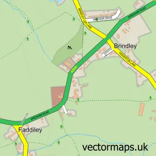
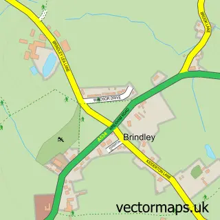
More street maps in Cheshire
750 metre map area coverage
Boundary, postcode and point of interest information for the 750m x 750m rectangle centred on this sample map.
Boundaries containing map centre
Constituency: Chester South and Eddisbury Co Const
District: Cheshire East (B)
Icb: NHS Cheshire and Merseyside ICB
Parish: Wrenbury cum Frith CP
Police Force: cheshire
Postcode District: CW5
Postcode Sector: CW5 8
Ward: Wrenbury Ward
Nearby boundaries intersecting sample
No additional intersecting boundaries found.
Postcode coverage
POI category counts
Convenience Store: 3
Building Contractor: 2
Doctor: 2
Shipping Center: 2
Automotive Repair: 1
Betting Center: 1
Bridal Shop: 1
Cafe: 1
Church Cathedral: 1
Construction Services: 1
Sample points of interest
- Auto Bodycraft Accident Repair Specialists
- William Hill
- Wild Skies Pyrotechnics
- Shallcross Developments
- Shallcross Developments
- Berries Wrenbury
- St Margaret's Church
- Shellcore Build
- Costcutter
- SPAR
- Wrenbury Village Stores
- Post Office Travel Money
Create a larger editable map of Wrenbury
This sample shows only a 750 metre area. To create a larger map of Wrenbury, use our map builder to choose your own coverage area, add titles and download editable SVG, PDF and PNG files.
Create a custom map of Wrenbury