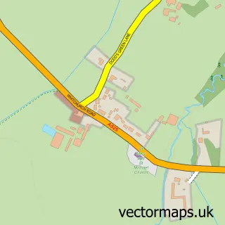
This Aston street map is a detailed vector street map covering a 750m x 750m area. Select a larger area to create and download your own vector street map of Aston.
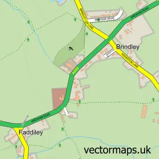
The 750-metre map sample for Aston covers 126 mapped buildings and approximately 5.7 km of road detail, of which 5 named roads are named. The immediate area includes 1 GP surgery within 2 miles, 2 pubs and 1 MOT station within 2 miles. The wider area around Aston features 1 tourism point of interest and 3 food and drink venues. To create a larger or custom map of Aston, the map builder lets you define your own coverage area and download editable SVG, PDF and PNG files.
Create a larger editable map of Aston
Choose any area you need and generate a high-quality vector map instantly. Perfect for print, planning, design, business and personal use.

This Aston street map in Cheshire is available as downloadable SVG, PDF and PNG map files, or as a printed map for planning, business, display, education, local information and design work. You can also create a larger custom map area using the map selector.
What this Aston map sample shows
Aston lies within Newhall Cp parish, part of Audlem ward in the Cheshire East (B) local authority area. The postcode geography for this area includes the CW postcode area, the CW5 postcode district and the CW5 8 postcode sector. Residents fall under the Nhs Cheshire And Merseyside Integrated Care Board for NHS services.
Local features near Aston
Within 2 milesAmenities and services in and around Aston.
Administrative and postcode information for Aston
Aston lies within Newhall Cp parish, part of Audlem ward in the Cheshire East (B) local authority area. The postcode geography for this area includes the CW postcode area, the CW5 postcode district and the CW5 8 postcode sector. Residents fall under the Nhs Cheshire And Merseyside Integrated Care Board for NHS services.
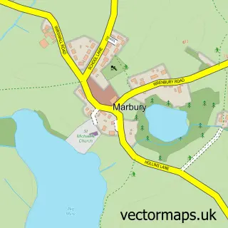
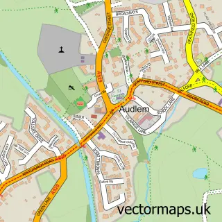
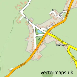
Nearby street map samples around Aston

More street maps in Cheshire
750 metre map area coverage
Boundary, postcode and point of interest information for the 750m x 750m rectangle centred on this sample map.
Boundaries containing map centre
Constituency: Chester South and Eddisbury Co Const
District: Cheshire East (B)
Icb: NHS Cheshire and Merseyside ICB
Parish: Newhall CP
Police Force: cheshire
Postcode District: CW5
Postcode Sector: CW5 8
Ward: Audlem Ward
Nearby boundaries intersecting sample
No additional intersecting boundaries found.
Postcode coverage
POI category counts
Pub: 2
Accommodation: 1
Beer Bar: 1
Business Manufacturing And Supply: 1
Coffee Shop: 1
Commercial Industrial: 1
Landmark And Historical Building: 1
Online Shop: 1
Painting: 1
Pet Store: 1
Sample points of interest
- Aston
- Bhurtpore Inn
- Dodson and Horrell
- No 18 The Park Coffee Shop
- HJLea Oakes Aston
- Aston by Wrenbury
- Water Babies
- Window Transplants
- H J Lea Oakes
- Bhurtpore Inn
- The Bhurtpore Inn
- Aston Cemetery
Create a larger editable map of Aston
This sample shows only a 750 metre area. To create a larger map of Aston, use our map builder to choose your own coverage area, add titles and download editable SVG, PDF and PNG files.
Create a custom map of Aston