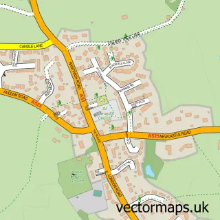
This Hankelow street map is a detailed vector street map covering a 750m x 750m area. Select a larger area to create and download your own vector street map of Hankelow.
The 750-metre map sample for Hankelow covers 128 mapped buildings and approximately 8.2 km of road detail, of which 7 named roads are named. The immediate area includes 1 GP surgery within 2 miles and 1 pub. The wider area around Hankelow features 1 food and drink venue. To create a larger or custom map of Hankelow, the map builder lets you define your own coverage area and download editable SVG, PDF and PNG files.
Create a larger editable map of Hankelow
Choose any area you need and generate a high-quality vector map instantly. Perfect for print, planning, design, business and personal use.

This Hankelow street map in Cheshire is available as downloadable SVG, PDF and PNG map files, or as a printed map for planning, business, display, education, local information and design work. You can also create a larger custom map area using the map selector.
What this Hankelow map sample shows
Hankelow lies within Hankelow Cp parish, part of Audlem ward in the Cheshire East (B) local authority area. The postcode geography for this area includes the CW postcode area, the CW3 postcode district and the CW3 0 postcode sector. Residents fall under the Nhs Cheshire And Merseyside Integrated Care Board for NHS services.
Local features near Hankelow
Within 2 milesAmenities and services in and around Hankelow.
Administrative and postcode information for Hankelow
Hankelow lies within Hankelow Cp parish, part of Audlem ward in the Cheshire East (B) local authority area. The postcode geography for this area includes the CW postcode area, the CW3 postcode district and the CW3 0 postcode sector. Residents fall under the Nhs Cheshire And Merseyside Integrated Care Board for NHS services.
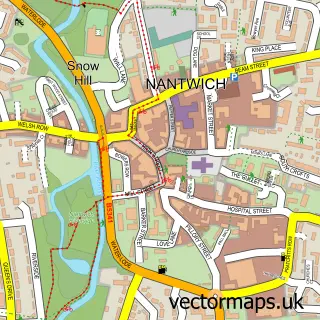
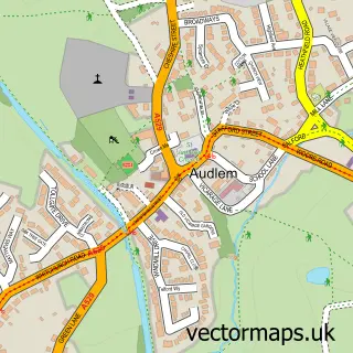
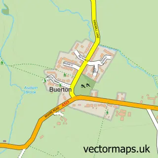
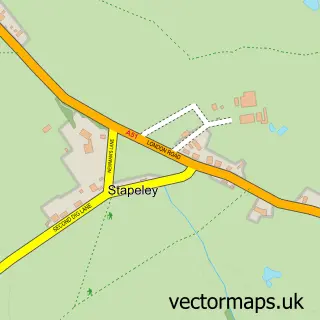
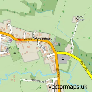
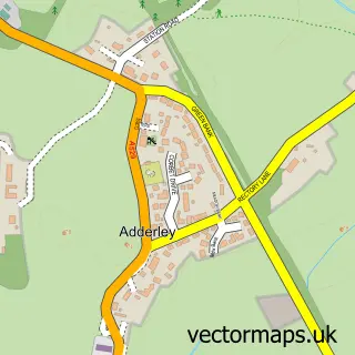
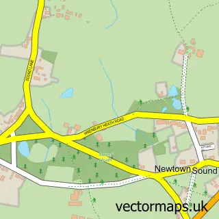
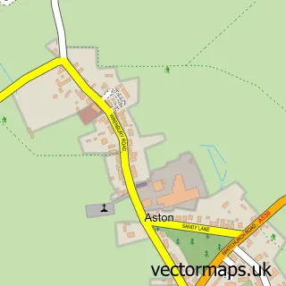
Nearby street map samples around Hankelow

More street maps in Cheshire
750 metre map area coverage
Boundary, postcode and point of interest information for the 750m x 750m rectangle centred on this sample map.
Boundaries containing map centre
Constituency: Chester South and Eddisbury Co Const
District: Cheshire East (B)
Icb: NHS Cheshire and Merseyside ICB
Parish: Hankelow CP
Police Force: cheshire
Postcode District: CW3
Postcode Sector: CW3 0
Ward: Audlem Ward
Nearby boundaries intersecting sample
Parish: Audlem CP
Postcode coverage
POI category counts
Gardener: 2
Bar: 1
Building Supply Store: 1
Business Consulting: 1
Event Planning: 1
Professional Services: 1
Pub: 1
Travel Agents: 1
Sample points of interest
- The White Lion at Hankelow
- Leisure Surfaces (Cheshire) Ltd
- Howes Brookes & Associates
- Hankelow Hall
- EKG Garden Design
- Icon Landscaping Contractors
- Eg3 Consultancy
- The White Lion Hankelow
- Specialist Travel Consultants
Create a larger editable map of Hankelow
This sample shows only a 750 metre area. To create a larger map of Hankelow, use our map builder to choose your own coverage area, add titles and download editable SVG, PDF and PNG files.
Create a custom map of Hankelow