This Y Bontnewydd street map is a detailed vector street map covering a 750m x 750m area. Select a larger area to create and download your own vector street map of Y Bontnewydd.
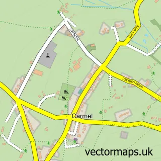
The 750-metre map sample for Y Bontnewydd covers 199 mapped buildings and approximately 16.9 km of road detail, of which 6 named roads are named. The immediate area includes 1 school, 2 pubs and 8 MOT stations within 2 miles. The wider area around Y Bontnewydd features 2 food and drink venues and 1 campsite within 2 miles. To create a larger or custom map of Y Bontnewydd, the map builder lets you define your own coverage area and download editable SVG, PDF and PNG files.
Create a larger editable map of Y Bontnewydd
Choose any area you need and generate a high-quality vector map instantly. Perfect for print, planning, design, business and personal use.

This Y Bontnewydd street map in Gwynedd is available as downloadable SVG, PDF and PNG map files, or as a printed map for planning, business, display, education, local information and design work. You can also create a larger custom map area using the map selector.
What this Y Bontnewydd map sample shows
Y Bontnewydd lies within Bontnewydd Community parish, part of Bontnewydd ward in the Gwynedd - Gwynedd local authority area. The postcode geography for this area includes the LL postcode area, the LL55 postcode district and the LL55 2 postcode sector. Residents fall under the Betsi Cadwaladr University Health Board for NHS services.
Local features near Y Bontnewydd
Within 2 milesAmenities and services in and around Y Bontnewydd.
Administrative and postcode information for Y Bontnewydd
Y Bontnewydd lies within Bontnewydd Community parish, part of Bontnewydd ward in the Gwynedd - Gwynedd local authority area. The postcode geography for this area includes the LL postcode area, the LL55 postcode district and the LL55 2 postcode sector. Residents fall under the Betsi Cadwaladr University Health Board for NHS services.
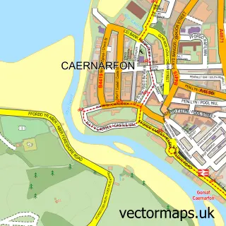
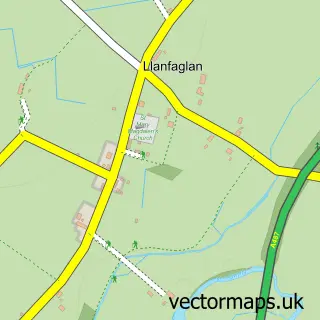
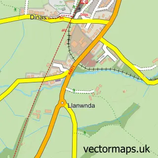
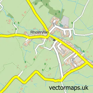
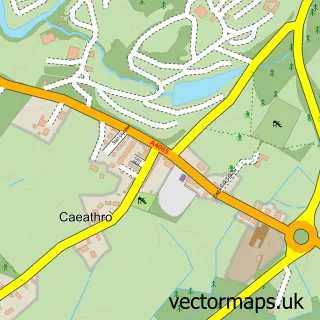
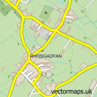
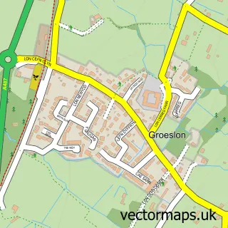
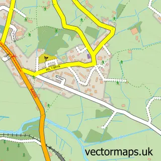
Nearby street map samples around Y Bontnewydd

More street maps in Gwynedd
750 metre map area coverage
Boundary, postcode and point of interest information for the 750m x 750m rectangle centred on this sample map.
Boundaries containing map centre
Constituency: Dwyfor Meirionnydd Co Const
District: Gwynedd - Gwynedd
Icb: Betsi Cadwaladr University
Parish: Bontnewydd Community
Police Force: north wales
Postcode District: LL54
Postcode Sector: LL54 7
Nearby boundaries intersecting sample
Postcode District: LL55
Postcode Sector: LL54 5, LL55 2
Postcode coverage
POI category counts
Convenience Store: 2
Pub: 2
Beauty And Spa: 1
Beauty Salon: 1
Community Services Non Profits: 1
Counseling And Mental Health: 1
Elementary School: 1
Fish And Chips Restaurant: 1
Kids Recreation And Party: 1
Mortgage Broker: 1
Sample points of interest
- Siop Barbwr Gari
- Ruby Elizabeth Hair & Beauty
- Age Cymru Gwynedd a Mon
- McColl's
- Morrisons Daily
- Andy Bryan
- Ysgol Bontnewydd
- Golden Cod
- Gypsy Lake Park
- Morgeisi Menai Mortgages
- Jones' Pizza
- Bontnewydd Post Office
Create a larger editable map of Y Bontnewydd
This sample shows only a 750 metre area. To create a larger map of Y Bontnewydd, use our map builder to choose your own coverage area, add titles and download editable SVG, PDF and PNG files.
Create a custom map of Y Bontnewydd