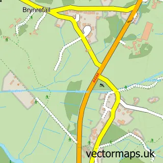
This Y Waunfawr street map is a detailed vector street map covering a 750m x 750m area. Select a larger area to create and download your own vector street map of Y Waunfawr.
The 750-metre map sample for Y Waunfawr covers 171 mapped buildings and approximately 10.1 km of road detail, of which 4 named roads are named. The immediate area includes 1 school, 2 pubs and 1 MOT station within 2 miles. The wider area around Y Waunfawr features 2 tourism points of interest, 2 food and drink venues and 3 campsites within 2 miles. To create a larger or custom map of Y Waunfawr, the map builder lets you define your own coverage area and download editable SVG, PDF and PNG files.
Create a larger editable map of Y Waunfawr
Choose any area you need and generate a high-quality vector map instantly. Perfect for print, planning, design, business and personal use.

This Y Waunfawr street map in Gwynedd is available as downloadable SVG, PDF and PNG map files, or as a printed map for planning, business, display, education, local information and design work. You can also create a larger custom map area using the map selector.
What this Y Waunfawr map sample shows
Y Waunfawr lies within Waunfawr Community parish, part of Waunfawr ward in the Gwynedd - Gwynedd local authority area. The postcode geography for this area includes the LL postcode area, the LL55 postcode district and the LL55 4 postcode sector. Residents fall under the Betsi Cadwaladr University Health Board for NHS services.
Local features near Y Waunfawr
Within 2 milesAmenities and services in and around Y Waunfawr.
Administrative and postcode information for Y Waunfawr
The local authority covering Y Waunfawr is Gwynedd - Gwynedd, within the county of Gwynedd. The settlement lies within Waunfawr ward and Waunfawr Community civil parish. The LL55 postcode district and LL55 4 postcode sector serve the immediate area. NHS provision in the area is delivered through Betsi Cadwaladr University Health Board.
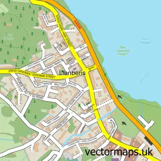
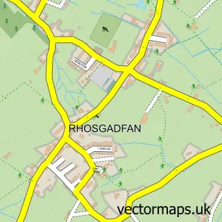
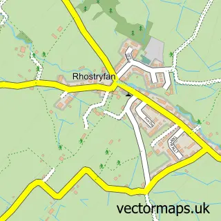
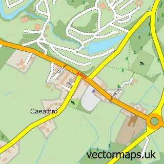
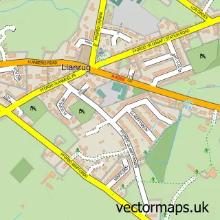
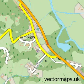
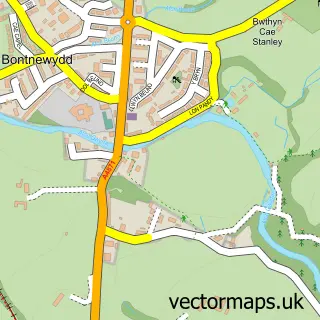
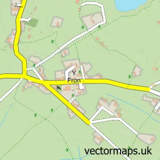
Nearby street map samples around Y Waunfawr

More street maps in Gwynedd
750 metre map area coverage
Boundary, postcode and point of interest information for the 750m x 750m rectangle centred on this sample map.
Boundaries containing map centre
Constituency: Dwyfor Meirionnydd Co Const
District: Gwynedd - Gwynedd
Icb: Betsi Cadwaladr University
Parish: Waunfawr Community
Police Force: north wales
Postcode District: LL55
Postcode Sector: LL55 4
Nearby boundaries intersecting sample
Parish: Betws Garmon Community
Postcode coverage
POI category counts
Campground: 2
Pub: 2
Alternative Medicine: 1
Building Supply Store: 1
Community Services Non Profits: 1
Elementary School: 1
Grocery Store: 1
Horse Riding: 1
Taxi Service: 1
Train Station: 1
Sample points of interest
- Pine Cottage Practice
- Antur Waunfawr
- Snowdonia Park Campsite
- Tyn Yr Onnen Campsite & Farm
- Antur Waunfawr
- Ysgol Waunfawr
- Village Poultry
- Cae Newydd Equine Solutions Riding and Training Centre
- Snowdonia Parc Brewpub
- Snowdonia Park
- ABC Minibuses
- Welsh Highland Railway, Waunfawr
Create a larger editable map of Y Waunfawr
This sample shows only a 750 metre area. To create a larger map of Y Waunfawr, use our map builder to choose your own coverage area, add titles and download editable SVG, PDF and PNG files.
Create a custom map of Y Waunfawr