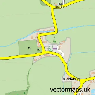
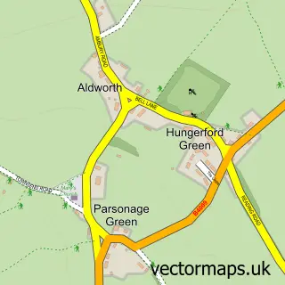
This Yattendon street map is a detailed vector street map covering a 750m x 750m area. Select a larger area to create and download your own vector street map of Yattendon.
The 750-metre map sample for Yattendon covers 90 mapped buildings and approximately 6.9 km of road detail, of which 6 named roads are named. The immediate area includes 1 school, 1 pub and 1 MOT station. The wider area around Yattendon features 1 tourism point of interest and 2 food and drink venues. To create a larger or custom map of Yattendon, the map builder lets you define your own coverage area and download editable SVG, PDF and PNG files.
Create a larger editable map of Yattendon
Choose any area you need and generate a high-quality vector map instantly. Perfect for print, planning, design, business and personal use.

This Yattendon street map in Berkshire is available as downloadable SVG, PDF and PNG map files, or as a printed map for planning, business, display, education, local information and design work. You can also create a larger custom map area using the map selector.
What this Yattendon map sample shows
Yattendon lies within Yattendon Cp parish, part of Ridgeway ward in the West Berkshire local authority area. The postcode geography for this area includes the RG postcode area, the RG18 postcode district and the RG18 0 postcode sector. Residents fall under the Nhs Buckinghamshire, Oxfordshire And Berkshire West Integrated Care Board for NHS services.
Local features near Yattendon
Within 2 milesAmenities and services in and around Yattendon.
Administrative and postcode information for Yattendon
The local authority covering Yattendon is West Berkshire, within the county of Berkshire. The settlement lies within Ridgeway ward and Yattendon Cp civil parish. The RG18 postcode district and RG18 0 postcode sector serve the immediate area. NHS provision in the area is delivered through Royal Berkshire Nhs Foundation Trust.
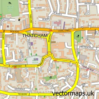
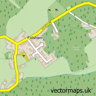
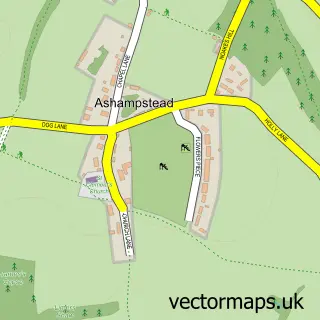
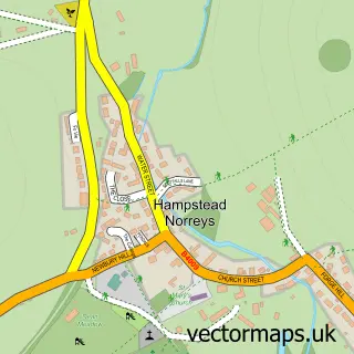
Nearby street map samples around Yattendon

More street maps in Berkshire
750 metre map area coverage
Boundary, postcode and point of interest information for the 750m x 750m rectangle centred on this sample map.
Boundaries containing map centre
Constituency: Reading West and Mid Berkshire Co Const
District: West Berkshire
Icb: NHS Thames Valley ICB
Parish: Yattendon CP
Police Force: thames valley
Postcode District: RG18
Postcode Sector: RG18 0
Ward: Ridgeway Ward
Nearby boundaries intersecting sample
Parish: Frilsham CP
Postcode coverage
POI category counts
Beauty Salon: 3
Business Management Services: 2
Advertising Agency: 1
Anglican Church: 1
Appliance Manufacturer: 1
Arts And Crafts: 1
Business Manufacturing And Supply: 1
Cafe: 1
Clothing Store: 1
Elementary School: 1
Sample points of interest
- Maasai Marketing Services
- Yattendon: St Peter & St Paul
- Infrared Filter Solutions
- Modern Makers Collective
- Adam & Eve Hair - Yattendon
- Calmingales Beauty
- Clinic Aesthetica
- Velospeed Electric Bikes
- Yattendon Post Office
- Smile Smart Technology
- The Pantry
- Precision Peripherals Ltd.
Create a larger editable map of Yattendon
This sample shows only a 750 metre area. To create a larger map of Yattendon, use our map builder to choose your own coverage area, add titles and download editable SVG, PDF and PNG files.
Create a custom map of Yattendon