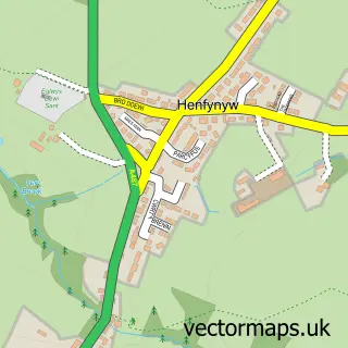
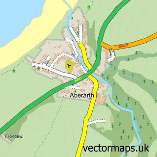
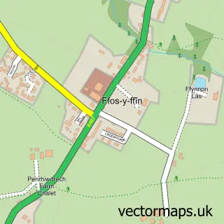
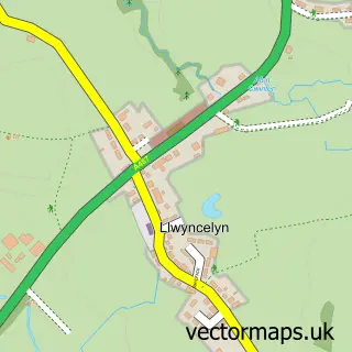
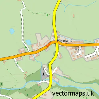
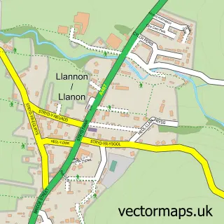
This Aberaeron street map is a detailed vector street map covering a 750m x 750m area. Select a larger area to create and download your own vector street map of Aberaeron.
The 750-metre map sample for Aberaeron covers 291 mapped buildings and approximately 18.7 km of road detail, of which 37 named roads are named. The immediate area includes 2 schools, 4 pubs and 1 MOT station, with 2 within 2 miles. The wider area around Aberaeron features 3 tourism points of interest, 14 food and drink venues and 11 hotels. To create a larger or custom map of Aberaeron, the map builder lets you define your own coverage area and download editable SVG, PDF and PNG files.
Create a larger editable map of Aberaeron
Choose any area you need and generate a high-quality vector map instantly. Perfect for print, planning, design, business and personal use.

This Aberaeron street map in Dyfed is available as downloadable SVG, PDF and PNG map files, or as a printed map for planning, business, display, education, local information and design work. You can also create a larger custom map area using the map selector.
What this Aberaeron map sample shows
Aberaeron lies within Aberaeron Community parish, part of Aberaeron ward in the Sir Ceredigion - Ceredigion local authority area. The postcode geography for this area includes the SA postcode area, the SA46 postcode district and the SA46 0 postcode sector. Local NHS services are provided through Hywel Dda University Health Board.
Local features near Aberaeron
Within 2 milesAmenities and services in and around Aberaeron.
Administrative and postcode information for Aberaeron
The local authority covering Aberaeron is Sir Ceredigion - Ceredigion, within the county of Dyfed. The settlement lies within Aberaeron ward and Aberaeron Community civil parish. The SA46 postcode district and SA46 0 postcode sector serve the immediate area. NHS provision in the area is delivered through Hywel Dda University Health Board.
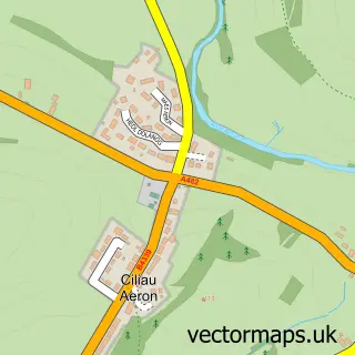
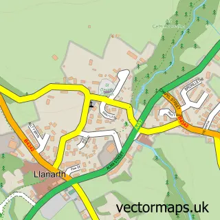
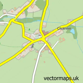
Nearby street map samples around Aberaeron

More street maps in Dyfed
750 metre map area coverage
Boundary, postcode and point of interest information for the 750m x 750m rectangle centred on this sample map.
Boundaries containing map centre
Constituency: Ceredigion Preseli Co Const
District: Sir Ceredigion - Ceredigion
Icb: Hywel Dda
Parish: Aberaeron Community
Police Force: dyfed-powys
Postcode District: SA46
Postcode Sector: SA46 0
Nearby boundaries intersecting sample
No additional intersecting boundaries found.
Postcode coverage
POI category counts
Hotel: 10
Beauty Salon: 6
Flowers And Gifts Shop: 6
Restaurant: 6
Clothing Store: 5
Charity Organization: 4
Pub: 4
Arts And Crafts: 3
Banks: 3
Bed And Breakfast: 3
Sample points of interest
- Cyfrifwyr Aeron Accountants
- Appointment Makers UK
- John Francis Aberaeron
- Gallery Gwyn
- Aberaeron Craft centre
- Lazertran
- Rosemary's Wool Shop
- Aberaeron Stores
- Barclays ATM
- Y Popty
- Barclays Bank
- NatWest
Create a larger editable map of Aberaeron
This sample shows only a 750 metre area. To create a larger map of Aberaeron, use our map builder to choose your own coverage area, add titles and download editable SVG, PDF and PNG files.
Create a custom map of Aberaeron